
Nonprofit and Nongovernmental Organizations
Expand positive impacts with a geographic approach
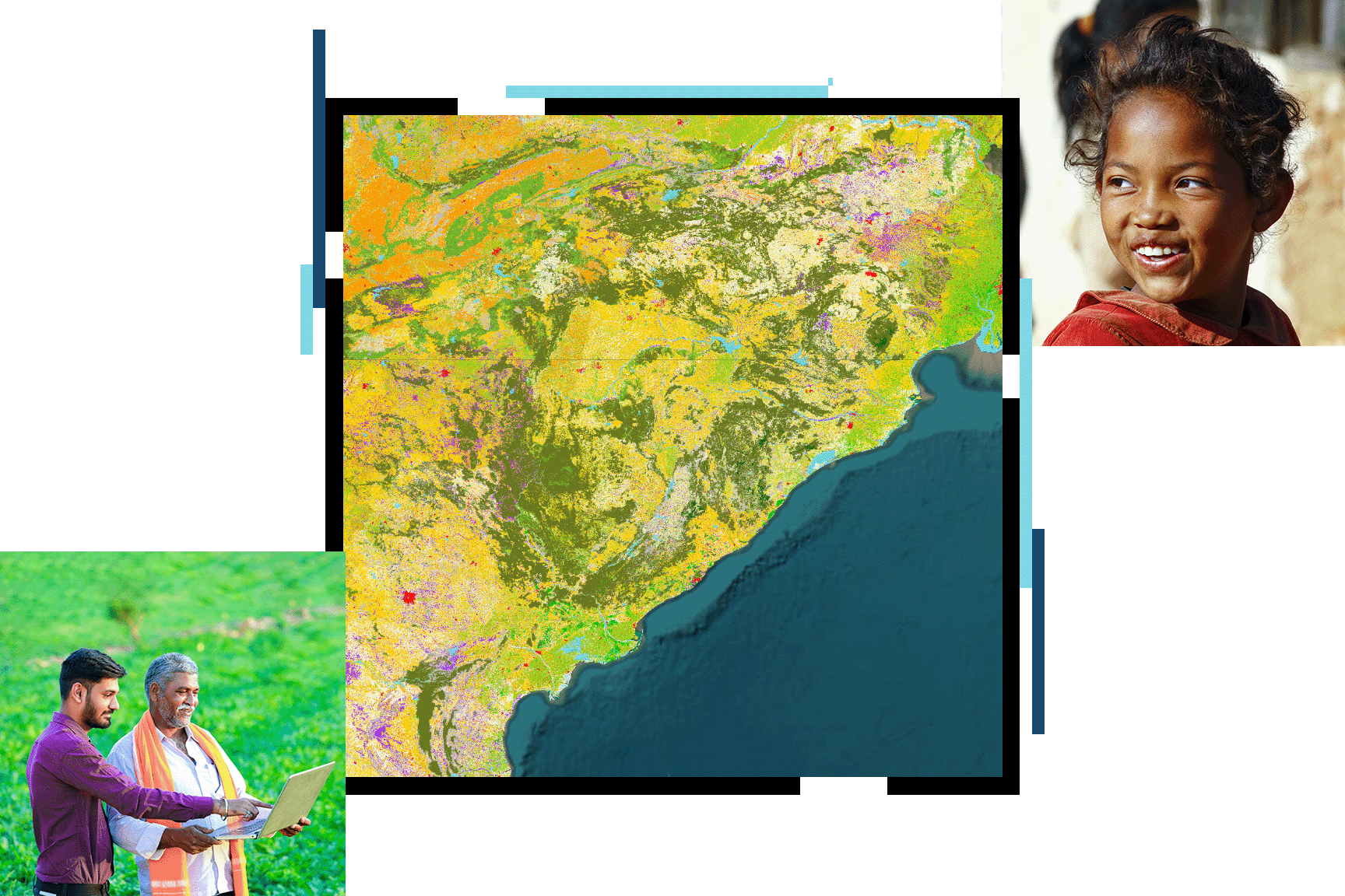
Gain a new perspective on your mission with GIS
Nonprofit organizations can apply a geographic approach to everything they do. GIS technology allows staff and volunteers to connect data based on geography and apply spatial thinking to decision-making. This unique perspective on creating, managing, analyzing, and mapping all types of data empowers teams to better communicate causes, understand communities, act on missions, and measure impacts. Use cloud-based and cost-effective tools to extend services, attract volunteers, expand and manage donor networks, and shape public policies.

Nonprofit and NGO focus areas
Previous
Next
Esri Nonprofit Organization Program
The Esri Nonprofit Organization Program provides nonprofit organizations with low-cost access to GIS software, training, content, and other resources. Join a vibrant community of nonprofits around the globe working to create a better world.
Get in touch with us
Email Us
Write to us at info@esri.in
Call Us
Talk to us over the phone