ArcGIS Online
ArcGIS Online is a complete, cloud-based GIS that connects people, locations, and data through interactive maps.

Improving speed and accuracy

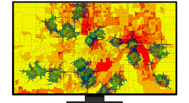
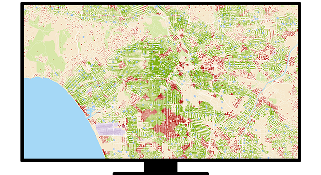
Evaluate and contextualize key material for new policies without having to search through massive amounts of hidden data. Esri's hazard inspector application brings disparate risk data into a common operational view, enabling underwriters to extract meaningful insights that guide policy decisions.
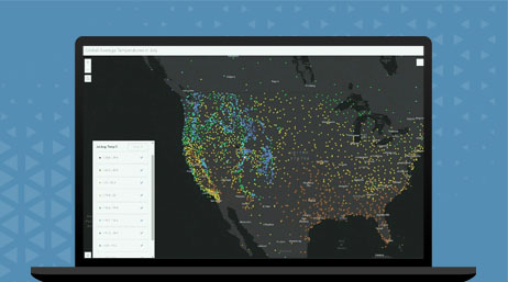
Strike the balance between speed and accuracy when creating policy decisions by using Esri's cloud data environment. Rapidly access relevant data and securely categorize authoritative third-party data into real-time risk models.
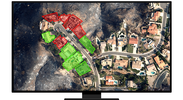
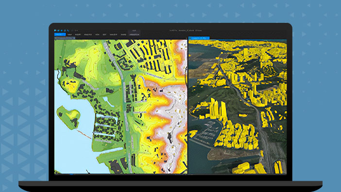
Advancements in imagery and remote sensing have enabled insurers to virtually inspect properties from the safety and convenience of the office. With Esri's imagery applications, underwriters can access industry-leading high-resolution imagery to verify material information and analyze defensible spaces.
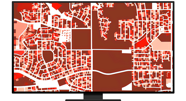
Accuracy matters when analyzing the relative exposure of a new policy. ArcGIS World Geocoder is an industry-leading application for geocoding, providing precise point-based locations for addresses. It allows underwriters to edit in an interactive and collaborative virtual environment.
ArcGIS Online
ArcGIS Pro
Discover location-based insurance strategies that transform the policy life cycle at every stage
Please fill out your details below for us to contact you for the demo.
Write to us at info@esri.in
Talk to us over the phone