Anticipate local market behaviors
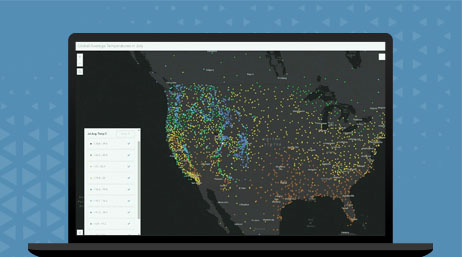
Empower insurance companies to contextualize data on markets, the customer base, and risk through a spatial lens to establish precise benchmarks that will guide sales strategies.

Territory planning and management

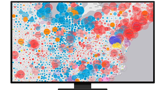
Leverage spatial insights to uncover hyperlocal customer behavior and demand and business intelligence around competitors. Map, analyze, and share key metrics like sales volume and market share with sales departments and agency partners.
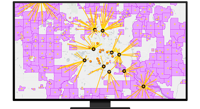
Utilize location intelligence to help design dynamic sales territories, producing optimal results. Effectively manage trade areas based on factors like proximity, accessibility, volume, and market potential to ensure resources are fully aligned with growth targets.
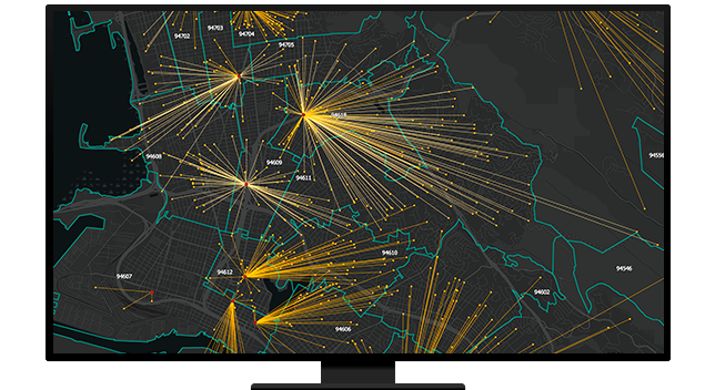
Centralize agency relationships with integrated, single-view, spatially enabled web tools. Assist sales territories and partner networks in visualizing and managing complex data from different places.
ArcGIS Online
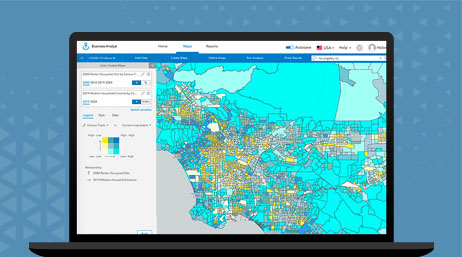
ArcGIS Business Analyst
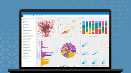
ArcGIS Insights
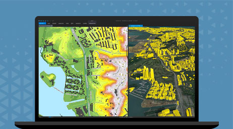
ArcGIS Pro
Discover location-based insurance strategies that transform the policy life cycle at every stage
Please fill out your details below for us to contact you for the demo.
Write to us at info@esri.in
Talk to us over the phone