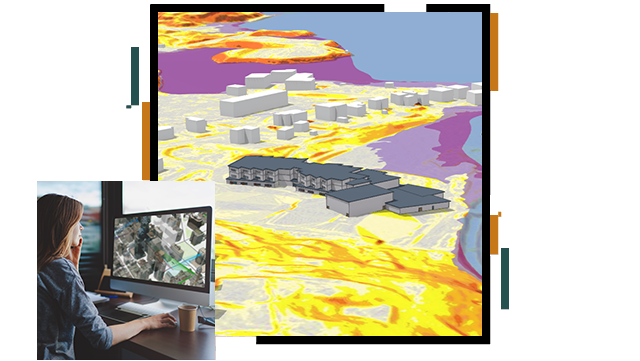
Operations and Maintenance

Rich map visualisations give a holistic perspective of the surrounding environment, enabling Architects to create smart designs that match the constraints. Combining geographic and design data throughout the design process enables Architects and Planners to make full use of available space as efficiently and effectively as possible. Use ArcGIS software to improve design decisions, increase transparency, manage projects and analyse spatial data.

Previous
Next

Resources

Request a demo


Please fill out your details below for us to contact you for the demo.

Email Us

Send a message to info@esri.in

Click here