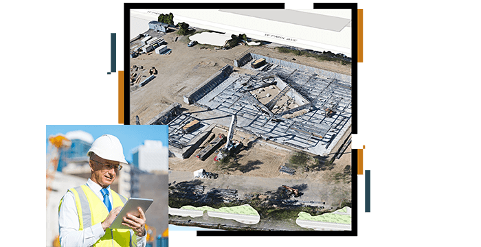
Combine multiple data sets, on an easy-to-use mapping interface, to understand the geographic context for a project. Coordinate large construction projects using mobile apps to connect site staff, share real time information and instantly receive accurate updates on the project at hand. Use ArcGIS software to increase productivity, improve collaboration, drive efficiencies, manage risk and reduce costs.
Build
Use maps and apps to improve productivity on-site. Assign tasks, collect information and share real time updates.
Vividly display project data, CAD and infrastructure data on an easy-to-use mapping interface to inform construction crews. Add dynamic links to key documents and other information sources.
Share
Share project information with key stakeholders, partners and the public using interactive web maps.