Planning
Develop planning scenarios in direct relation to the geographic location and constraints. Use 2D and 3D analytical tools to aid decision-making.

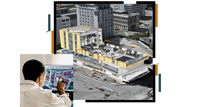
SUCCESS STORY
Norman Foster + Partners' Bruno Moser and Theo Malzieu illustrate how architects can change the way we think about and interact with buildings, public infrastructure and cities. Learn how Esri’s ArcGIS Platform is adding new dimensions to architectural thinking, plans and designs to reshape our ideas of place and smarter communities.

Please fill out your details below for us to contact you for the demo.
Write to us at info@esri.in
Talk to us over the phone