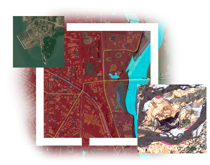
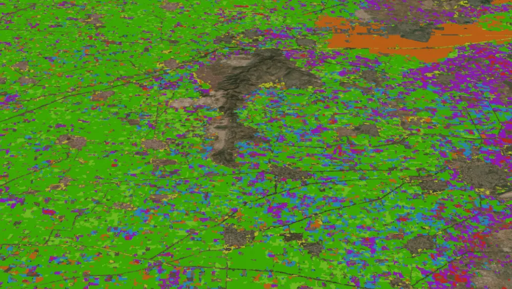
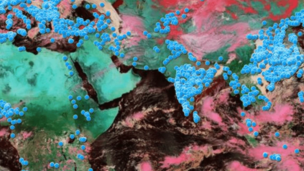
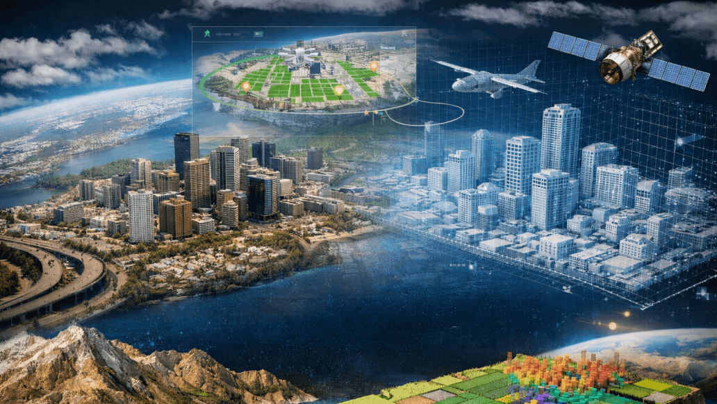
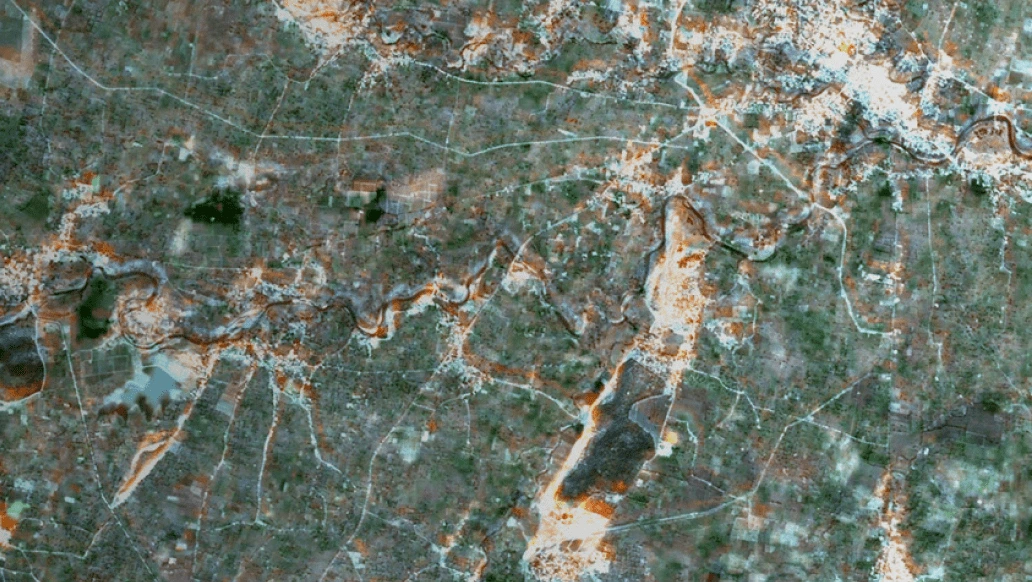
SAR data is being used to solve challenges across a wide range of disciplines, including disaster preparedness and response, urban development and land-use planning, agriculture, and environmental monitoring. It enables effective change detection and monitoring across land, sea, vegetation, soil, and ice, while also providing accurate measurements of elevation, movement, and surface displacement.
With the emergence of next-generation SAR missions such as NISAR, the volume, accessibility, and significance of SAR data are set to grow substantially, opening new opportunities for Earth observation, environmental monitoring, infrastructure assessment, and disaster resilience at unprecedented scales.
The complexity of processing and analysing SAR data requires specialized expertise in SAR technology. With ENVI SARscape, we would harness the power of both amplitude and phase component of SAR to extract meaningful information. SARscape combines advanced SAR analytics with powerful image analysis tools, providing a unified environment for geospatial intelligence.
Join us to explore how ENVI SARscape streamlines SAR processing workflows, unlocks valuable geospatial insights, and empowers users to turn radar observations into informed decisions and real-world solutions.
Product Displayed: ENVI SARscape