Unlock the full potential of imagery and video with the latest advancements in the ArcGIS ecosystem. This webinar showcases how ArcGIS Pro 3.7 Image Analyst and ArcGIS Enterprise work together to deliver an end-to-end solution for imagery solution —from advanced desktop analysis to enterprise-scale management, AI-powered analytics, and secure sharing.
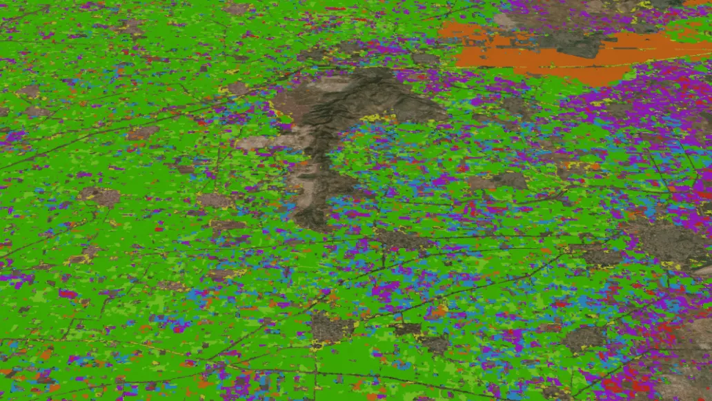
Discover how ArcGIS Pro Image Analyst streamlines sophisticated image interpretation through its dedicated analysis workspace, enabling powerful workflows for image classification, feature extraction, target detection, change analysis, spectral analysis, 3D visualization, and video analytics. Learn how to efficiently process multidimensional datasets, mosaic datasets, STAC catalogues, SAR imagery, and diverse raster formats to derive meaningful insights.
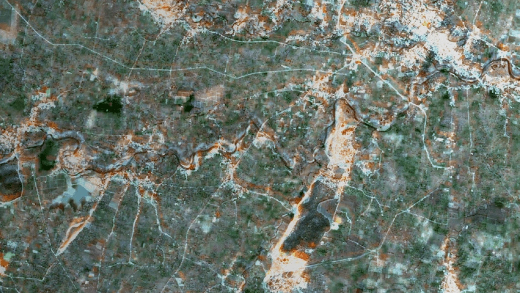
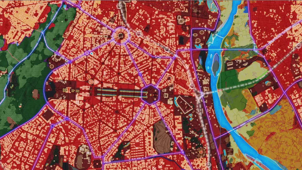
The session also explores how ArcGIS Enterprise, together with ArcGIS Image Server, ArcGIS Video Server, and ArcGIS Excalibur, extends these capabilities across the organization. Learn how to manage, publish, discover, and securely share massive imagery collections, perform distributed raster analytics at scale, and leverage geospatial AI for object detection, classification, and change analysis. See how live and archived full-motion video can be indexed, streamed, and geospatially enabled to enhance situational awareness and operational decision-making.