Pixels, Pulses, Frames - From Image Analysis to Enterprise Intelligence
WEBINAR 2 | July 28, 2026
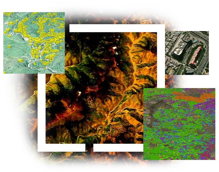
This webinar showcases how ArcGIS Pro Image Analyst and ArcGIS Enterprise work together to deliver an end-to-end solution for imagery solution.

Webinar 1
GeoAI Capabilities in ArcGIS
July 27, 2026 | 11am IST onwards
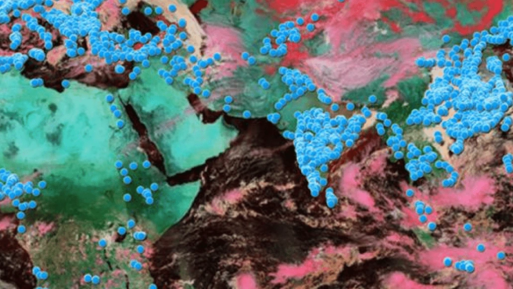
GeoAI is rapidly transforming how imagery is analyzed and interpreted across GIS workflows. With the integration of foundation models, time-series analytics, and multimodal AI, ArcGIS now enables smarter, faster, and more automated interpretation of imagery at scale.
As organizations increasingly rely on large volumes of imagery, GeoAI is becoming essential for scaling analysis, reducing manual effort, and improving decision-making. These advancements empower users to integrate advanced AI techniques directly into their existing GIS workflows, enabling a more efficient and intelligent approach to imagery analysis.
In this webinar, we will walk through the GeoAI capabilities that enhance modern imagery workflows. We will begin with foundation models, demonstrating how they can improve classification accuracy. The session will also highlight the capabilities of vision-language models & time-series forecasting models. In addition, you will see how built-in AI accelerates image inspections through mobile application and how explainable AI improves transparency and trust.
Products being covered:
GIS and Remote Sensing professionals, imagery analysts, researchers, and anyone looking to deepen their understanding of AI-enabled imagery analysis and interpretation.

Sreebhadra H R
Senior Engineer,
Esri India
WEBINAR 2 | July 28, 2026
This webinar showcases how ArcGIS Pro Image Analyst and ArcGIS Enterprise work together to deliver an end-to-end solution for imagery solution.

WEBINAR 3 | July 29, 2026
ArcGIS Reality for ArcGIS Pro marks a significant advancement in 3D GIS, delivering enhanced performance, smarter analytical tools, and improved visual realism.
WEBINAR 4 | July 30, 2026
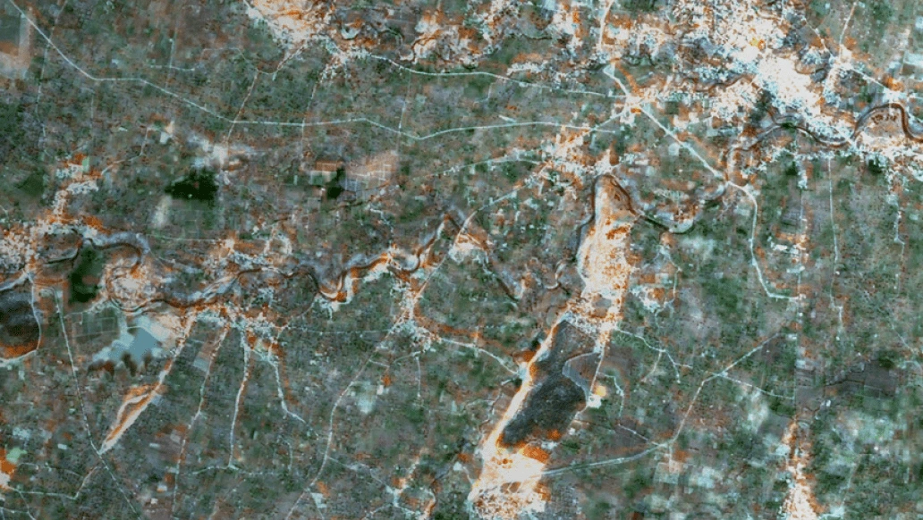
ENVI, along with its vast repository of imagery analysis capabilities and easy-to-use Machine and Deep Learning workflows, enables organizations to transform raw geospatial data into actionable intelligence.
WEBINAR 5 | July 31, 2026
Explore how ENVI SARscape streamlines SAR processing workflows, unlocks valuable geospatial insights, and empowers users to turn radar observations into informed decisions and real-world solutions.