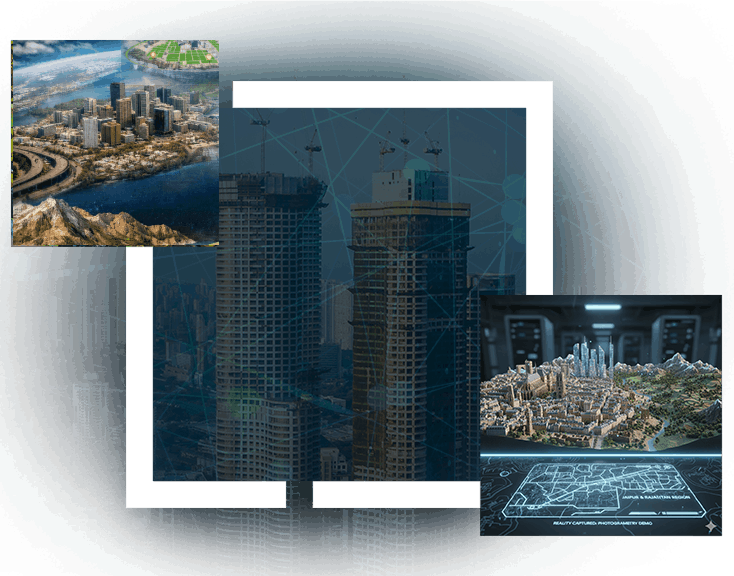
ArcGIS Reality is a comprehensive suite of photogrammetry software products designed to support reality capture workflows for sites, cities, and countries. It enables the creation of foundational components for 3D digital twins by transforming drone, aerial, and satellite imagery into visually compelling, highly accurate maps and 3D models. With ArcGIS Reality, users can interact with a digital environment that reflects real-world conditions, enriched with geospatial layers that provide deeper contextual understanding.
Designed for professionals who depend on high-accuracy visualization and spatial intelligence, this session will demonstrate how ArcGIS Reality strengthens the development of immersive 3D environments and supports applications such as digital twins, reality mapping, urban planning, and geospatial analysis.
ArcGIS Reality for ArcGIS Pro marks a significant advancement in 3D GIS, delivering enhanced performance, smarter analytical tools, and improved visual realism. This webinar will explore the latest innovations, including the generation of Gaussian Splats, expanded point cloud and mesh capabilities, and notable improvements across mapping, imagery, and editing workflows.
Designed for professionals who depend on high-accuracy visualization and spatial intelligence, this session will demonstrate how ArcGIS Reality strengthens the development of immersive 3D environments and supports applications such as digital twins, reality mapping, urban planning, and geospatial analysis.
Products Being Covered:
- Site Scan for ArcGIS
- ArcGIS Drone2Map
- ArcGIS Reality Studio
- ArcGIS Reality for Pro