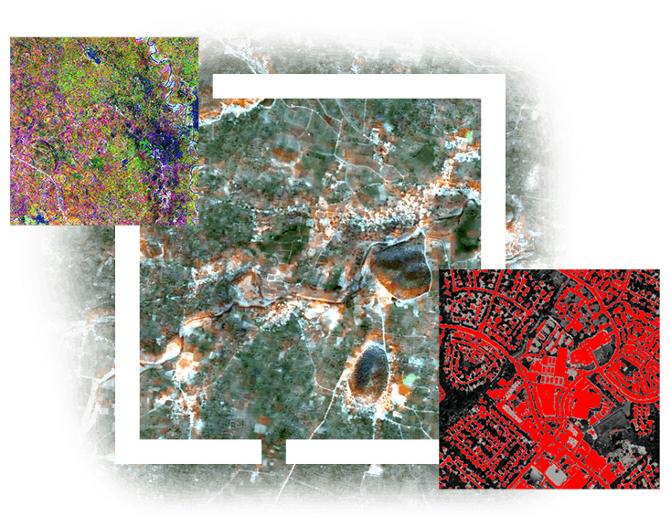
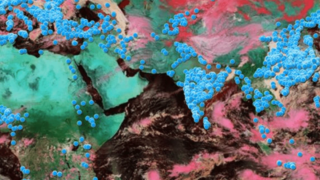
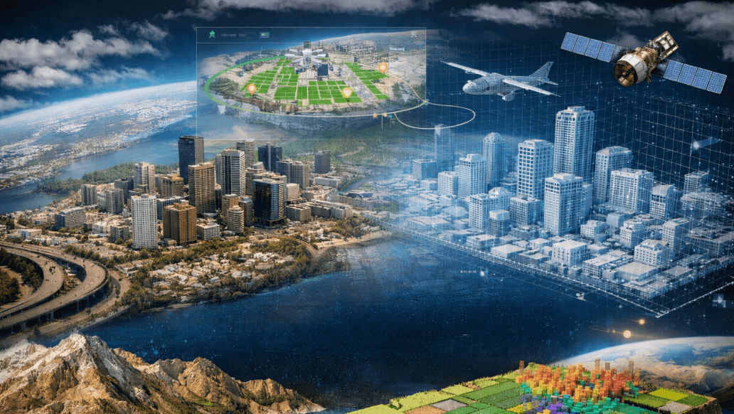
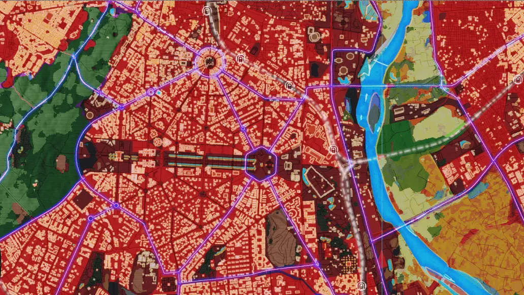
Complex imagery when turned into actionable intelligence, can resolve real world problems, track any events or disaster scenario remotely and create insights which can enable faster decision making in the fields of agriculture, mining, urban planning, and environmental sustainability.
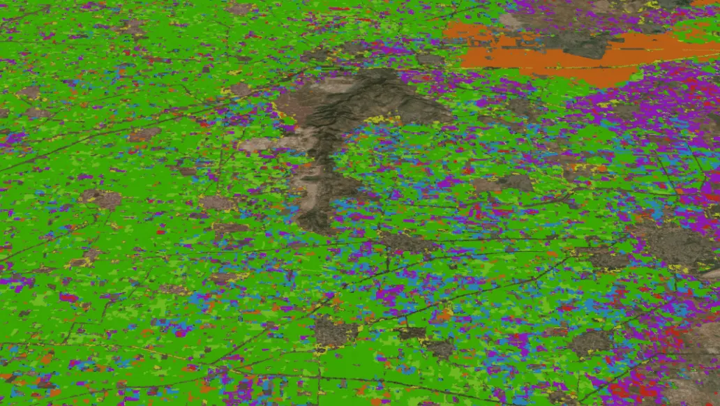
ENVI, with its vast repository for SAR (Synthetic Aperture Radar), hyperspectral, multispectral, and LiDAR imagery analysis capabilities, easy to use Machine and Deep Learning workflows, Crop Science modules enables organizations to transform raw geospatial data into actionable intelligence. Through its Open Neural Network Exchange (ONNX) framework, users can seamlessly integrate externally developed deep learning models into the ENVI environment. Apart from that the power of AI agents with contextual understanding can automate complex decision-making processes, accelerate insight generation, and enhance operational efficiency.