
Registrations are closed
ArcGIS Geostatistical Analyst
February 28, 2024 | 11 am IST onwards
ArcGIS Geostatistical Analyst
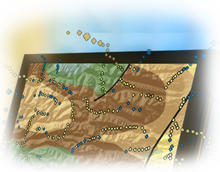
ArcGIS Geostatistical Analyst is a powerful extension for ArcGIS, a geographic information system (GIS) software developed by Esri. Geostatistical Analyst provides advanced tools for spatial data analysis and prediction, particularly focusing on geostatistics, which is the branch of statistics used to analyse and predict the spatial distribution of phenomena.
Geostatistical Analyst finds applications in various fields such as environmental science, natural resources, agriculture, geology, hydrology, epidemiology, and urban planning. It is used for tasks like environmental pollution modelling, natural resource assessment, groundwater modelling, and many more.
By utilizing ArcGIS Geostatistical Analyst, analysts and researchers can make informed decisions by accurately predicting and analysing spatial phenomena, ultimately contributing to better planning and resource management.
Key Takeaways
- Overview of geostatistical analyst and its capabilities
- Exploratory spatial data analysis
- Semi variogram modelling
- Surface prediction and error modelling
- Threshold mapping
- Model validation and diagnostics
- Surface prediction using cokriging
- Collaboration across Enterprise
Who should attend?
GIS professionals, mapping organizations, and industry professionals and researchers working across several verticals to uncover patterns in data.
Speaker

Sudipta Kundu,
Esri India