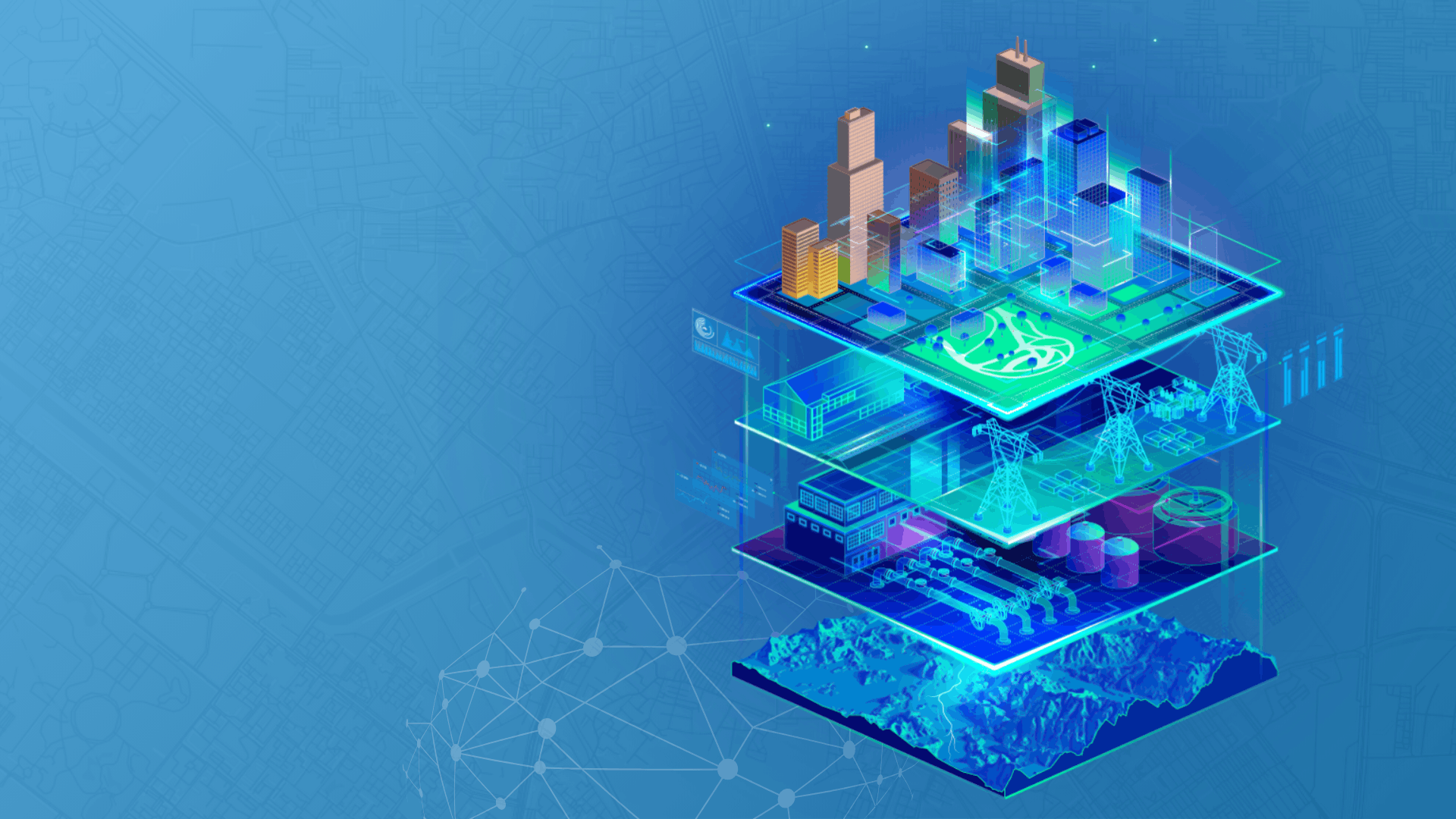
An integrated digital twin enabled through a modern GIS is not one single solution or product—rather, it is an ecosystem of capabilities and applications being bought together by GIS to support holistic and collaborative approaches. It is not one digital twin but rather many digital twins that are integrated and interconnected.
Below are the four elements for managing the information lifecycle for a digital twin:
Data capture and integration are foundational to a digital twin. Organizations need comprehensive, end-to-end data management. They need to capture the data, model it, integrate it, and then manage it and its associated attributes and behaviors throughout its lifecycle.
Real-time and visualizations bring the data to life, taking information and creating a better understanding of what is happening now. Sensor technology enables real-time situational awareness combined with advanced visualization capabilities to virtually represent how the physical components are operating in the real world.
Analyze and predict to move decision-making beyond just understanding the current operational state. Organizations must understand the past and view predictions of the future. They need to simulate and forecast expected outcomes as well as automate the decision-making process.
Sharing and collaboration are enabled via desktop and mobile devices for both internal and external stakeholders. Digital twins are about collaboration, sharing information, and getting it to those who need it, when they need it.
Esri’s ArcGIS enhances data capture and integration, enables better real-time visualization, provides advanced analysis and automation of future predictions, and allows for information sharing and collaboration.