
GIS In Action
TPCODL: Building a Resilient, Safety-First Blueprint for Indian Utilities
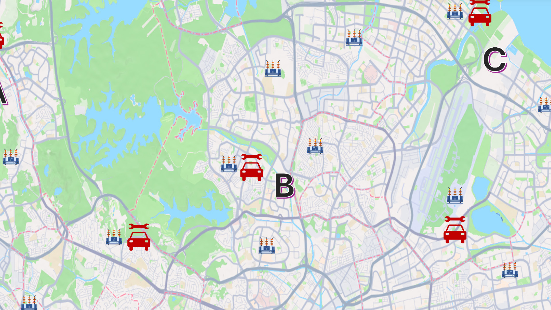
The state of Odisha, characterized by its extensive coastline, is historically prone to severe tropical storms and cyclones. These natural disasters frequently devastate electrical infrastructure, leading to prolonged service outages that can last weeks.