displaying 25 results
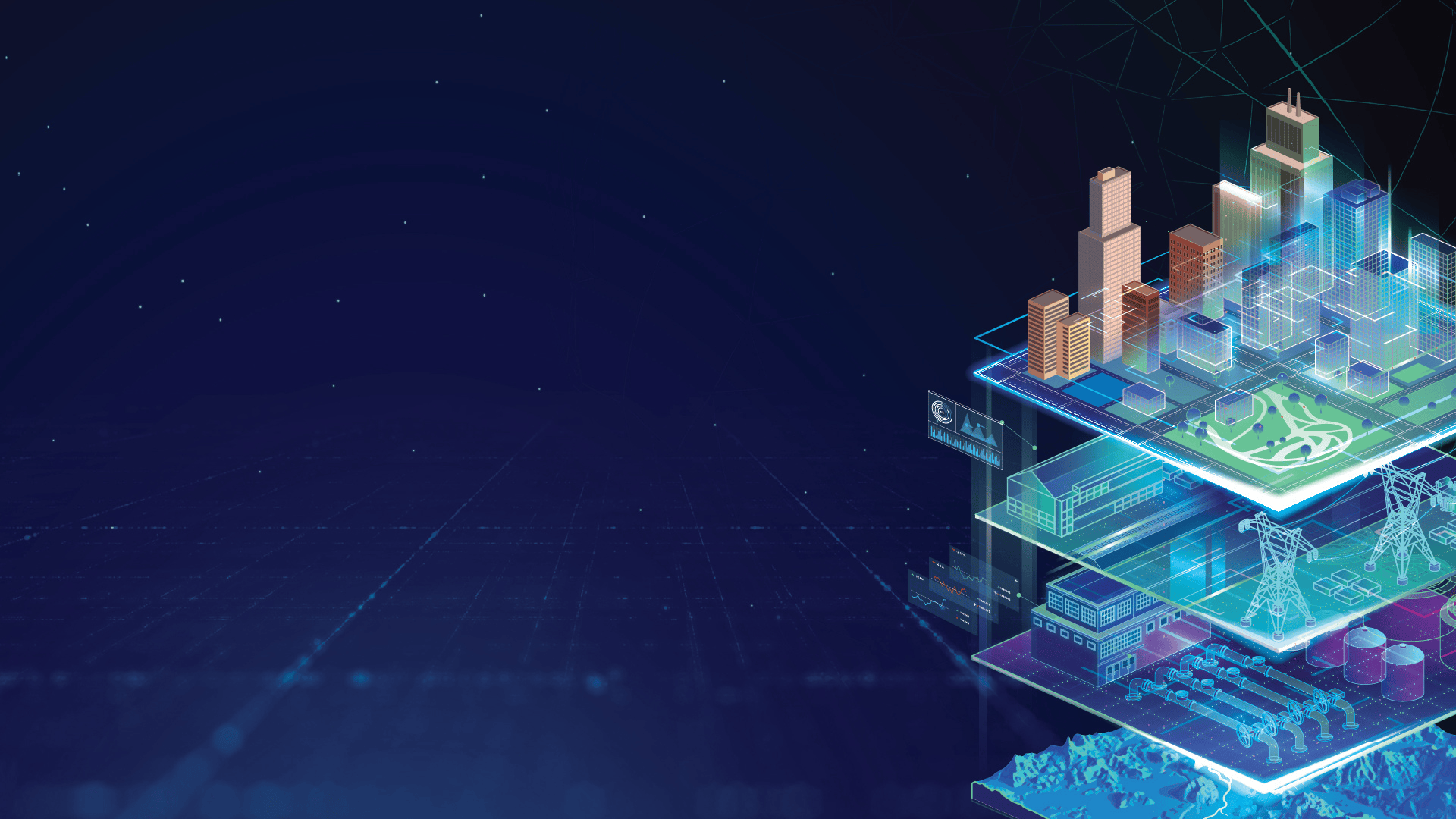
Digital Twins are virtual replicas of physical systems that enable real-time monitoring, simulation, and optimization across various domains.
ArcGIS Business Analyst: Revolutionizing FMCG growth in India


GIS for detecting trends in Space and Time

Telling Powerful Stories using ArcGIS StoryMaps
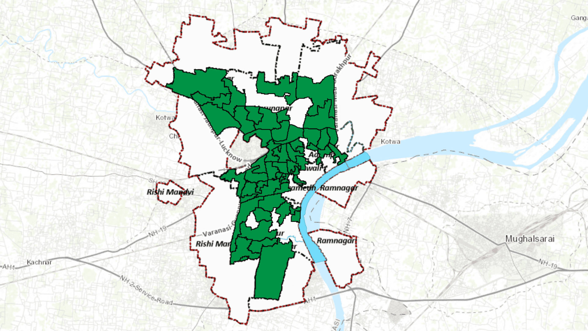
Managing uninterrupted power supply while maintaining quality is a big challenge faced by all complex electricity distribution networks, today.
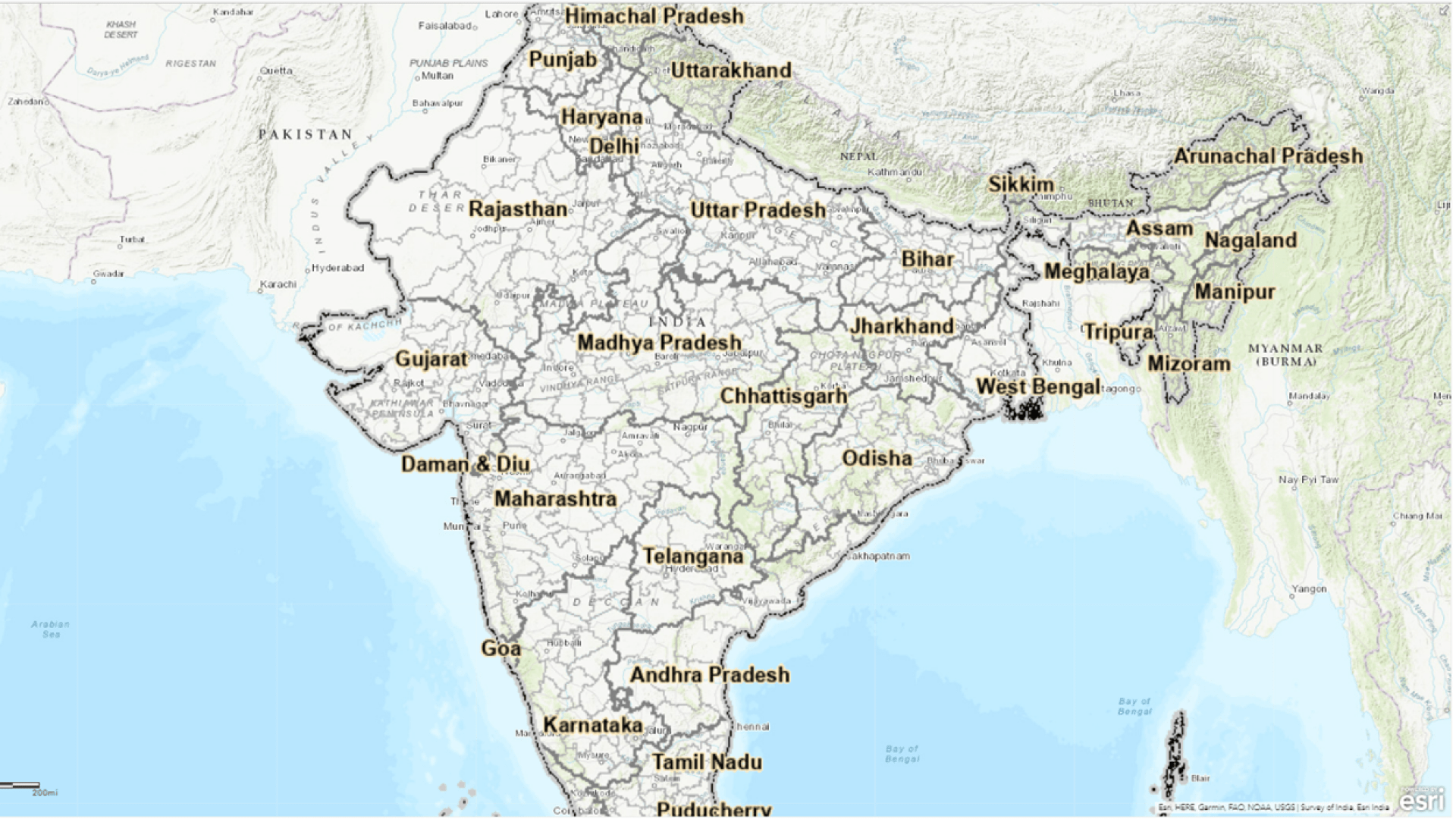
Esri India, in collaboration with various government and private data providers, has invested in publishing authoritative geospatial maps and...
Disposal of waste from urban setting has always been big challenge from the time of first urbanisation...
Policy Maps concept is a unique effort by the mapping community to bridge the spatial data gap in the policy making domain...
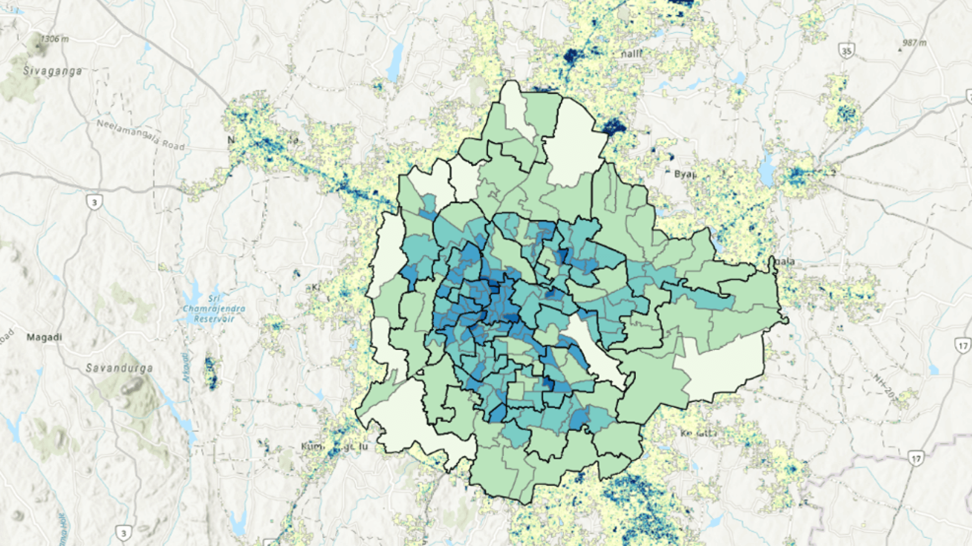
Policy making and effective governance are critical for a developing nation. Adding spatial components makes designing policy...

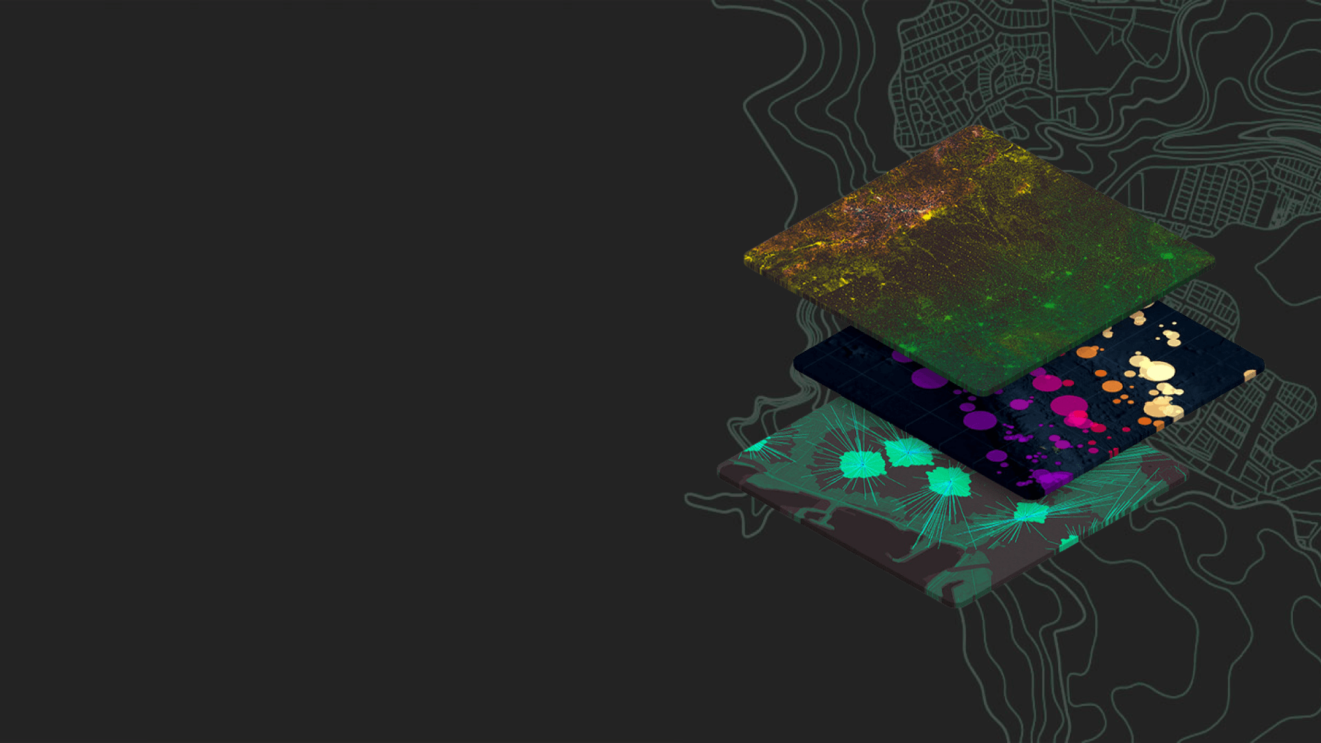
The mosaic datasets are used to manage, display, analyze, serve, and share imagery and raster data.