ArcGIS Online
ArcGIS Online is a complete, cloud-based GIS that connects people, locations, and data through interactive maps.

Manage and optimize assets

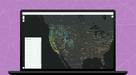
Home delivery is an emerging capability for retailers. Customers have a growing expectation that they can receive products anywhere and at any time. To respond, retailers and manufacturers have to manage orders and deliveries accurately and efficiently. Use ArcGIS to support home delivery with location services.
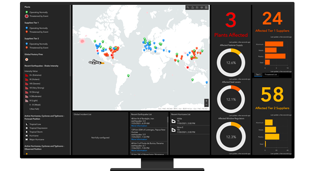
Create dashboards, apps, and infographics to quickly communicate the operational health of your supply chain to the entire enterprise—from key leadership to supply chain practitioners.
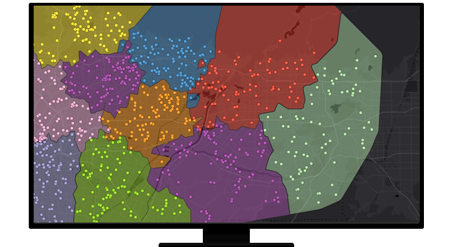
Effective territory planning and optimization is critical for many businesses. Well-defined territories increase efficiency and customer satisfaction while cutting costs and response time. Organizations that use mobile crews for sales, services, or deliveries can use GIS to organize mobile staff into territories or regions.
ArcGIS Online
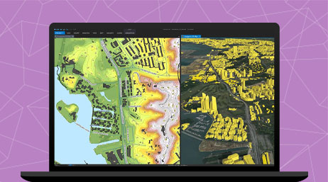
ArcGIS Pro
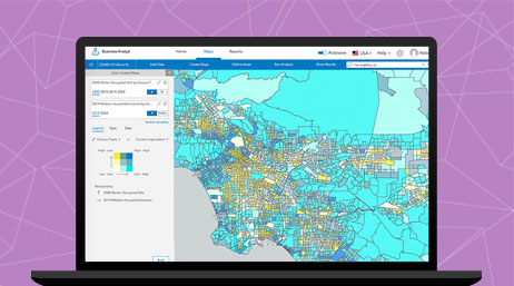
ArcGIS Business Analyst
Please fill out your details below for us to contact you for the demo.
Write to us at info@esri.in
Talk to us over the phone