ArcGIS Production Mapping
Product
Improve the quality and value of your geospatial data output through standardization, repeatability, and configuration of the production process.

Transforming geospatial data production through automation
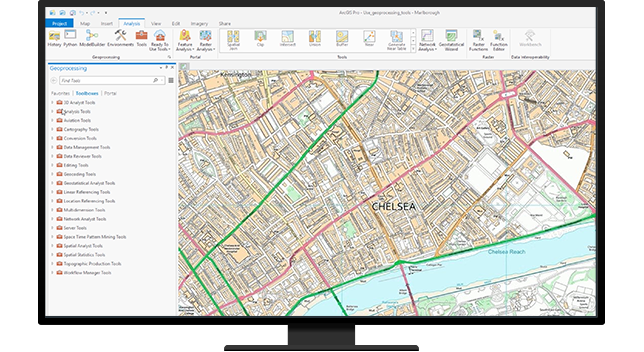
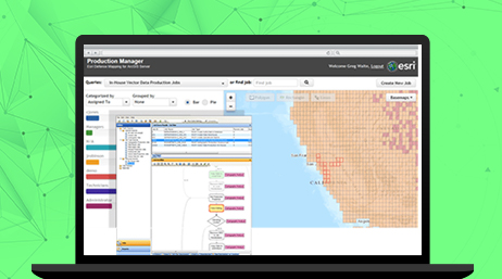
Automate data and map production workflows by putting scripting geoprocessing tasks into repeatable workflows. This harnesses the hundreds of tasks GIS operators and cartographers do with Python scripts using ArcGIS geoprocessing tools. It frees staff to work on other geospatial information products your customers need. It also captures the knowledge base that would otherwise be lost when staff leave.
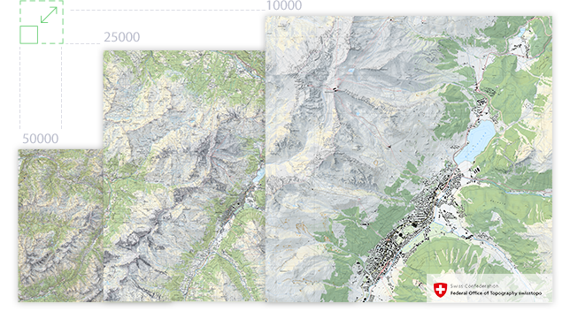
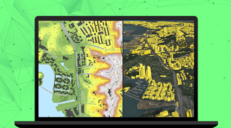
Maintain data once and leverage GIS to derive many information products at different resolutions. Realize significant savings by eliminating redundant data capture for various scales of data. That data can be automatically transformed and used for a variety of data and map information products. For the cost of collecting the data once, you can reap the benefits of reusing it many times.
Realize significant efficiencies by generating digital and hard-copy maps from the same database. Separate production lines and workers can be streamlined into one to create and maintain many different data and map products at various resolutions. Modernizing and automating workflows with ArcGIS increases productivity and maximizes your bottom line.

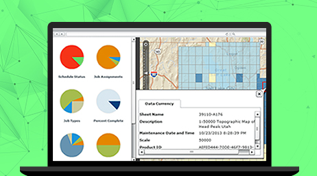
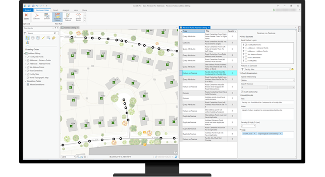
Map data quality and consistency are ensured with ArcGIS tools configured to reflect your business rules. Automated quality control is integrated into your production processes. Quality assurance tools ensure the integrity of your branded information products.
ArcGIS Production Mapping
Product
ArcGIS Defense Mapping
Product
ArcGIS Pro
Product
Please fill out your details below for us to contact you for the demo.
Write to us at info@esri.in
Talk to us over the phone