ArcGIS Enterprise
Product
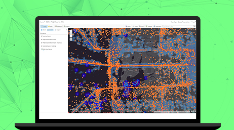
NMOs are managing massive amounts of remotely sensed data and reducing duplication using dynamic image mosaicking and processing with GIS. Remote sensing and GIS are no longer separate but integrated in the same geospatial system. This increases efficiency and ease of data access by serving remotely sensed data seamlessly to work teams across your organization.

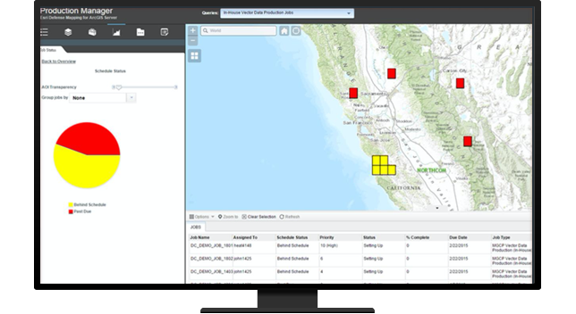
Meeting customer demands and schedules requires managing your entire supply chain to maximize your production resources. Production management ensures that best practices are used through repeatable workflows to manage changes in location data in addition to mapping it. Information is consistently accessible to all work groups, from collection and analysis through production and dissemination.

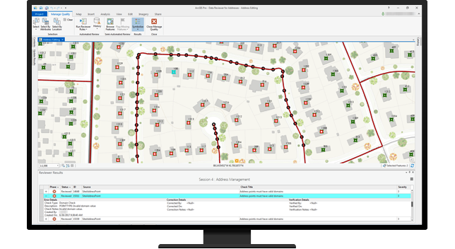
Ensuring your data integrity requires automated checks to efficiently validate data. This includes managing metadata provenance and lineage over time with versioning. Data is proven by verifying and communicating data quality through consistent reporting.

Please fill out your details below for us to contact you for the demo.
Write to us at info@esri.in
Talk to us over the phone