Map production from remotely sensed data
Capability
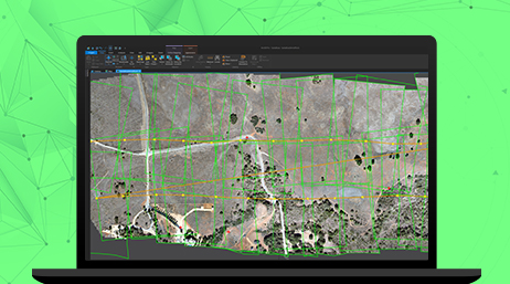
The ArcGIS photogrammetric suite enables you to transform drone, aerial, and satellite images into authoritative map products.
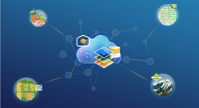
Create authoritative information by leveraging many sources
Identifying where real-world features are changing is key for National Mapping Organizations (NMOs) to map updates for their customers. This process is increasingly automated through the use of GeoAI and deep learning. New imagery is compared to older imagery, using GIS for image analysis to quickly detect change. These changes are compared to the digital map data to rapidly update the features.
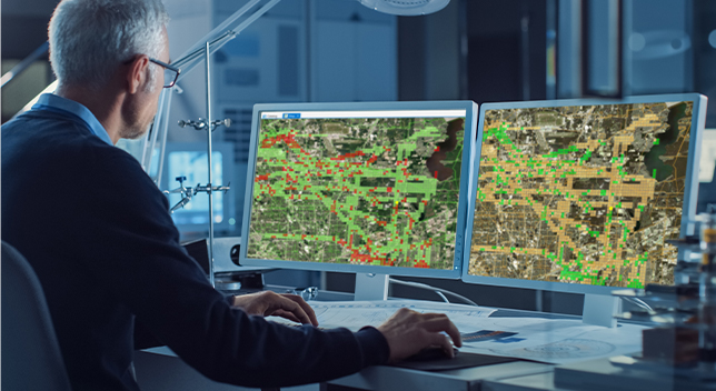
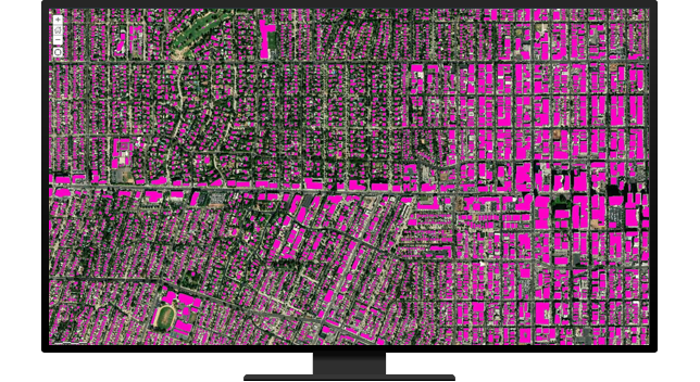
AI and deep learning (DL) with GIS, or GeoAI, automate and accelerate the process of change detection and feature identification. ArcGIS is used for classifying imagery and labeling data for training AI models. The AI models' inferencing results identify changed features that can be extracted and analyzed in ArcGIS. These features can be quickly used to update the authoritative basemap data for your nation.
National, state, regional, and local governments and other organizations have data that NMOs can use to compile changes and reduce data collection redundancy. Integrating these sources from many different formats requires data interoperability tools and geoprocessing scripts that extract, transform, and load (ETL) data automatically to efficiently harvest data.
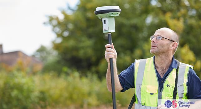
Planning where to send your workforce is key to effectively capturing change. Collecting changes in the field with the same enterprise GIS used in the office avoids errors and barriers between workgroups. Assigning, navigating, and monitoring staff's locations and progress enhances safety and efficiency. ArcGIS field operation apps provide verification of who collected what, when, and where.
Map production from remotely sensed data
Capability
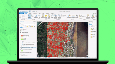
ArcGIS Image Analyst
Product
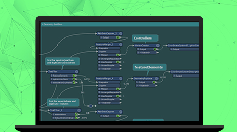
ArcGIS Data Interoperability
Product
Please fill out your details below for us to contact you for the demo.
Write to us at info@esri.in
Talk to us over the phone