National Mapping
Modernizing national geospatial authorities
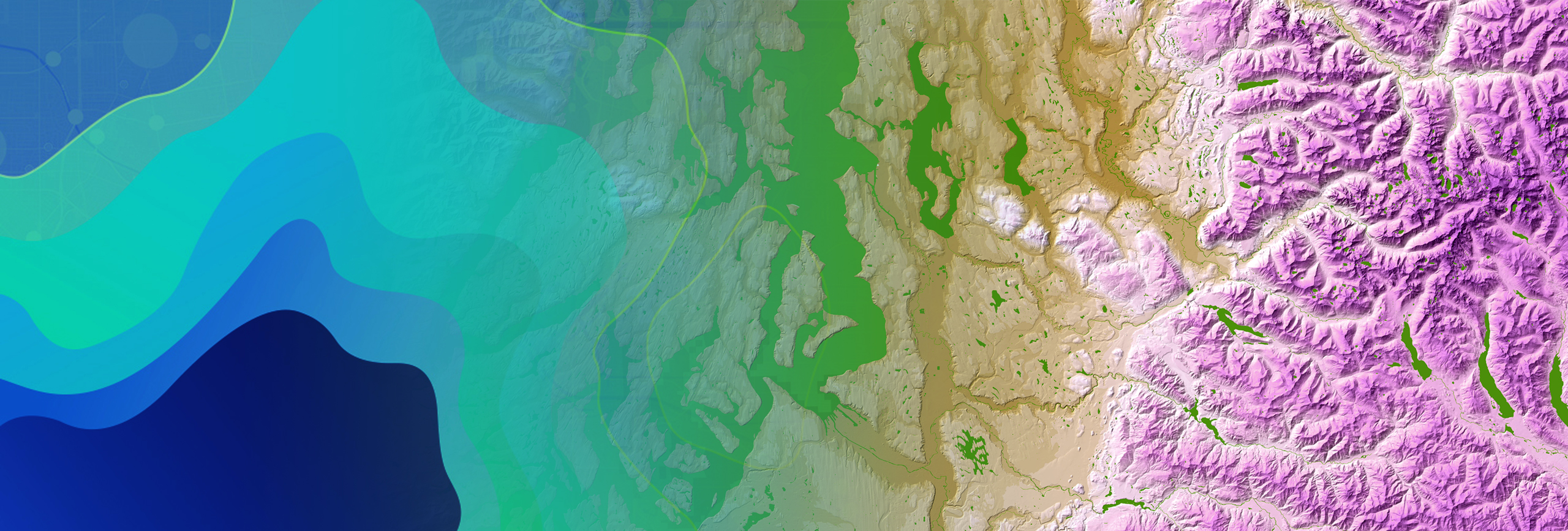
National mapping modernization
National mapping organizations must continue to modernize their geospatial strategies and workflows while remaining effective and cost-efficient. Esri's ArcGIS enables national mapping and geospatial data organizations to:
- Accurately collect and integrate source data and services.
- Effectively centralize and manage information to be secure and accessible across the organization.
- Efficiently produce multiresolution data and information products using automation.
- Seamlessly share and collaborate and enable your users to make better-informed decisions for your nation.

National mapping strategies
Previous
Next
Request a demo
Please fill out your details below for us to contact you for the demo.
Get in touch with us
Email Us
Write to us at info@esri.in
Call Us
Talk to us over the phone