Advanced Imagery Solutions with ArcGIS Pro

Webinar 2

Pixels, Pulses, Frames

From Image Analysis to Enterprise Intelligence

July 28, 2026

Advanced Imagery Solutions with ArcGIS Pro

Pixels, Pulses, Frames - From Image Analysis to Enterprise Intelligence


Unlock the full potential of imagery and video with the latest advancements in the ArcGIS ecosystem. This webinar showcases how ArcGIS Pro 3.7 Image Analyst and ArcGIS Enterprise work together to deliver an end-to-end solution for imagery solution —from advanced desktop analysis to enterprise-scale management, AI-powered analytics, and secure sharing.

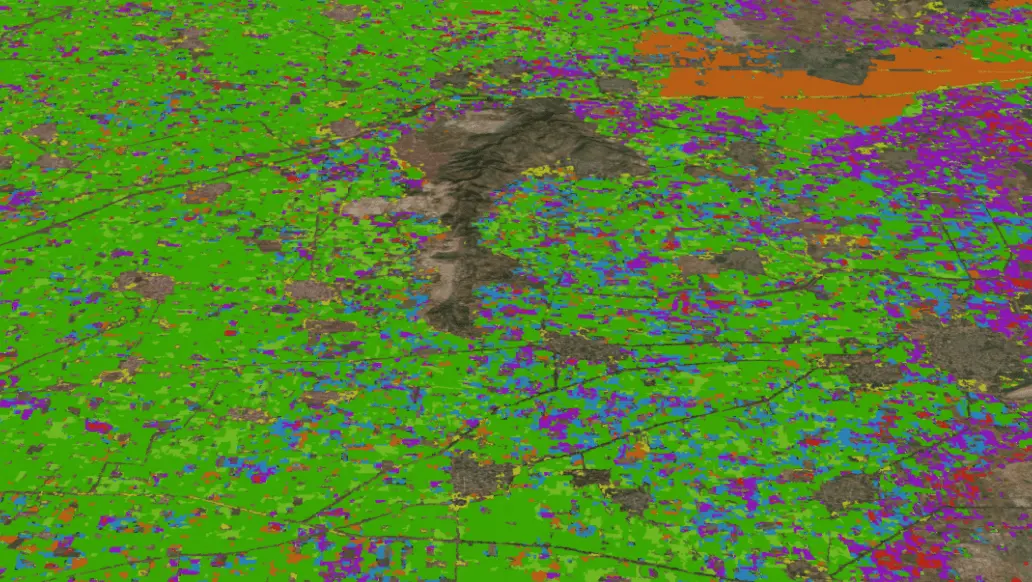
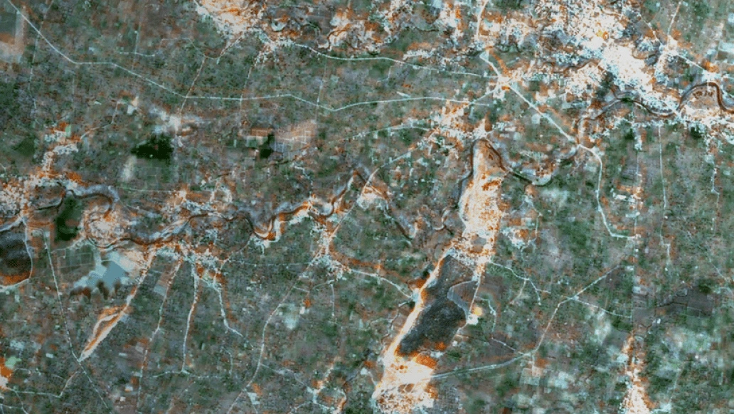
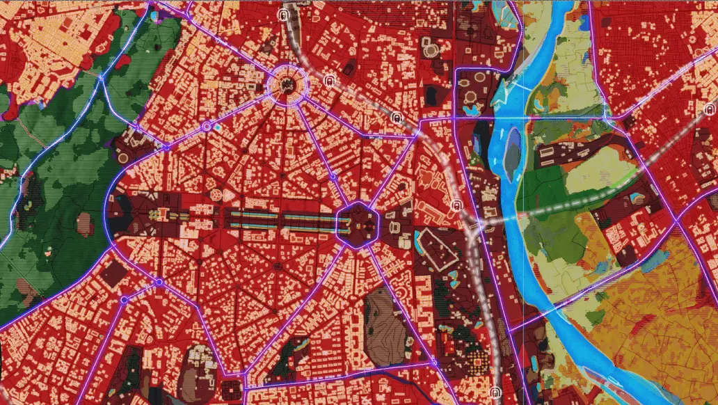
Discover how ArcGIS Pro Image Analyst streamlines sophisticated image interpretation through its dedicated analysis workspace, enabling powerful workflows for image classification, feature extraction, target detection, change analysis, spectral analysis, 3D visualization, and video analytics. Learn how to efficiently process multidimensional datasets, mosaic datasets, STAC catalogues, SAR imagery, and diverse raster formats to derive meaningful insights.

The session also explores how ArcGIS Enterprise, together with ArcGIS Image Server, ArcGIS Video Server, and ArcGIS Excalibur, extends these capabilities across the organization. Learn how to manage, publish, discover, and securely share massive imagery collections, perform distributed raster analytics at scale, and leverage geospatial AI for object detection, classification, and change analysis. See how live and archived full-motion video can be indexed, streamed, and geospatially enabled to enhance situational awareness and operational decision-making.

Products Displayed

  • ArcGIS Pro 3.7
  • ArcGIS Image Analyst
  • ArcGIS Enterprise
  • ArcGIS Image Server
  • ArcGIS Video Server
  • ArcGIS Excalibur

Key takeaways

  • Handling multidimensional raster and mosaic datasets efficiently.
  • Working with STAC catalogues and diverse imagery sources, including drone, aerial, satellite, SAR, hyperspectral, and full-motion video.
  • Performing advanced image analysis using raster functions, spectral signatures, target detection, feature extraction, change analysis, and 3D visualization.
  • Deriving actionable insights from full-motion video and SAR imagery.
  • Publishing, managing, and securely sharing imagery and video across the enterprise.
  • Enabling browser-based imagery and video analysis using ArcGIS Excalibur. 
  • Scaling raster analytics using distributed processing with ArcGIS Image Server.
  • Integrating imagery, video, AI, and traditional GIS data into a unified enterprise system for collaboration and decision-making.

Who should attend?

  • GIS and Remote Sensing professionals
  • Image Analysts
  • Defence and Intelligence personnel
  • GIS and IT administrators
  • Industry professionals and decision-makers leveraging imagery and video
  • Researchers working with geospatial imagery and image interpretation
  • Anyone interested in modern imagery workflows and enterprise image analysis within the ArcGIS ecosystem

Speakers

Ishita Monga
 
Senior Engineer,
Esri India

Abhishek Yadav
 
Engineer,
Esri India

Other webinars in this series

Previous
Next

Register Now