This webinar will explore how digital twins are helping urban planning departments and decision-makers visualize complex urban systems, improve service delivery, and design more resilient and future-ready cities.
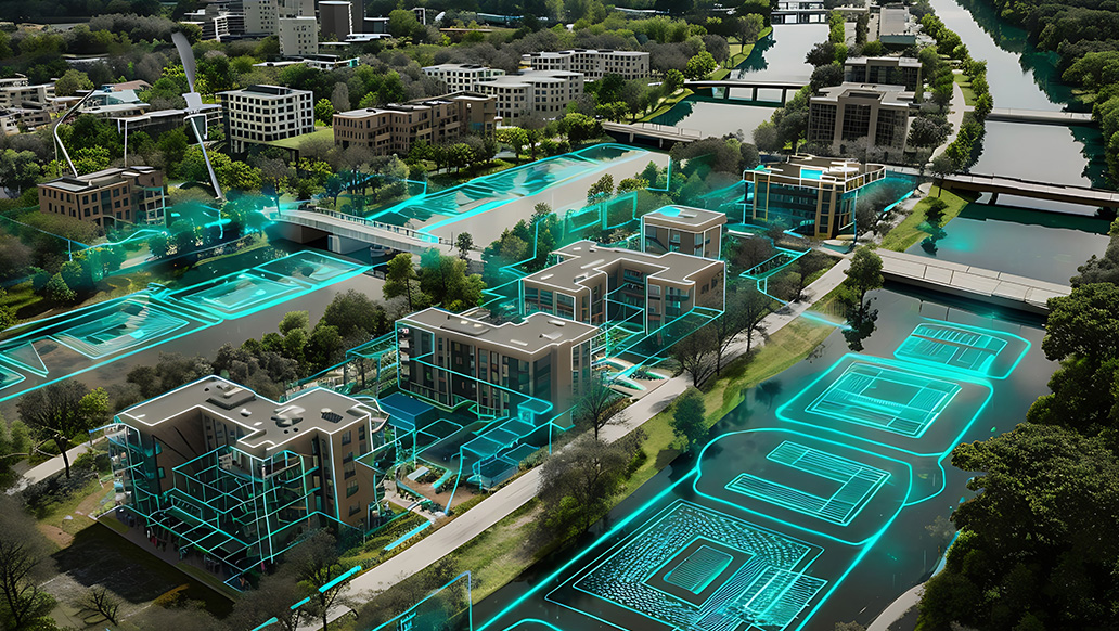
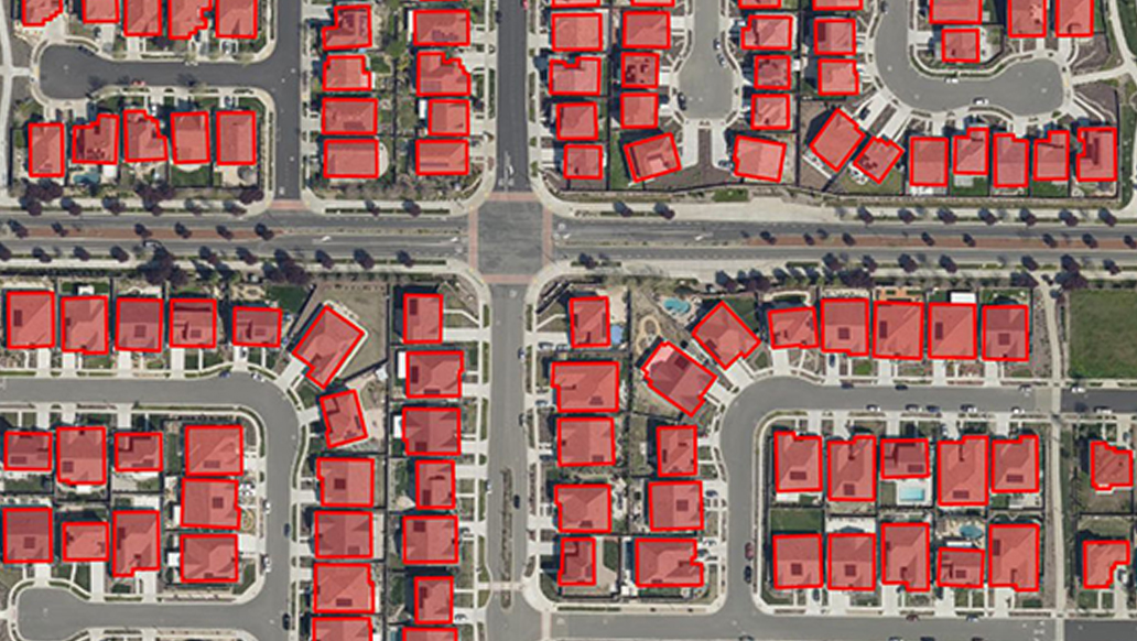
View Details: Indian cities are undergoing a major digital shift, and Digital Twin technology powered by ArcGIS is emerging as a game-changer in this transformation. By creating dynamic, geospatially intelligent virtual replicas of entire urban environments, digital twins allow planners and administrators to simulate growth scenarios, predict infrastructure demands, monitor live city systems, and evaluate climate and disaster risks with unprecedented clarity. From Landuse Plannin in 3D to Utility management, mobility planning, urban redevelopment, and citizen services, ArcGIS-based digital twins enable data-driven governance and collaborative planning across departments. This webinar will bring together experts, practitioners, and city officials to discuss real-world applications, technical workflows, and future opportunities for leveraging digital twins to build smarter, more sustainable, and more resilient Indian cities.