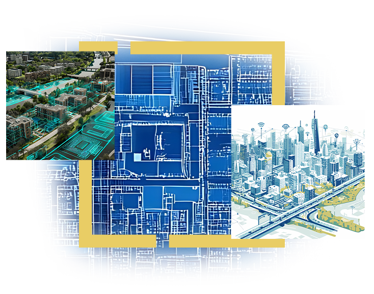
This webinar will explore how digital twins enable municipal bodies and decision-makers to enhance revenues, assess service demand, plan infrastructure, and improve citizen service delivery.
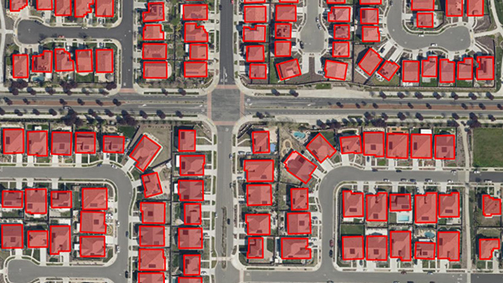
View Details: A Digital Twin built on ArcGIS gives municipalities a real-time, unified view of their assets, infrastructure and services, helping improve revenue, projects, citizen services and governance. It enhances revenue by identifying unassessed properties, validating building permissions, mapping advertisement assets and optimizing user charges through spatial and AI-driven analytics. It strengthens project management with geotagged progress updates, 3D/4D construction views, contractor tracking and automated dashboards. For citizen services, ArcGIS apps and Hub enable real-time grievance reporting, utility service monitoring and emergency response.