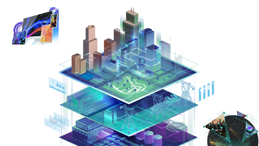
In today’s rapidly urbanizing world, cities are under increasing pressure to plan smarter, operate efficiently, and govern transparently. Geospatial Digital Twins, combined with Artificial Intelligence (AI) and Machine Learning (ML) in ArcGIS, are emerging as powerful enablers of this transformation.
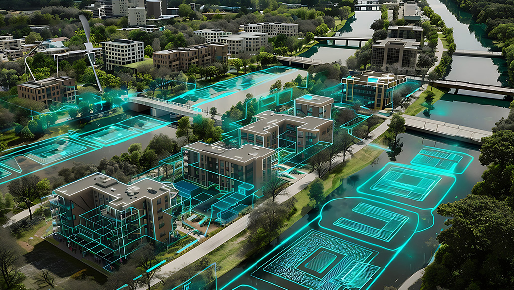
By creating dynamic, data-driven virtual representations of urban environments, Digital Twin technology enables real-time monitoring, predictive insights, and informed decision-making across critical domains such as infrastructure, mobility, environment, and urban governance.
This 3-part webinar series explores how AI-powered geospatial digital twins are reshaping urban planning and governance—making cities more resilient, sustainable, and citizen-centric. Through expert-led sessions, Participants will gain insights into cutting-edge tools, real-world applications, and emerging opportunities that are shaping the future of sustainable and intelligent cities.