
ArcGIS for Creating Digital Mesh for Digital Twin
July 21, 2023 | 11 am IST onwards
ArcGIS for Creating Digital Mesh for Digital Twin
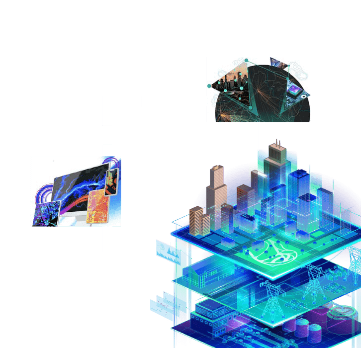
A digital twin is a virtual representation of the real world, including physical objects, processes, relationships, and behaviors. GIS creates the data mesh for digital twins and uniquely integrates many types of digital models.
Geospatial technology connects different types of data and systems to create a single view that can be accessed throughout the complete project life cycle. GIS enhances data capture and integration, enables better real-time visualization, provides advanced analysis and automation of future predictions, and allows for information sharing and collaboration.
There is an array of GIS products which may be utilised for Digital Twin, including ArcGIS Enterprise for integrating DRONE and LIDAR Outputs, GeoBIM, Indoors, UNM and Geoevent Server, ArcGIS Urban.
Key Takeaways
- Concept of Digital Twin
- Importance of Digital Twin in Urban Scenario of the country
- Lifecycle of GIS based Digital Twin
- Use cases of Digital Twin
- Benefits of Digital Twin
Who should attend?
Development Authority officials, Metropolitan Development Authority Officials, Smart City Officials, Town Planning Officials and Utility Companies
Speaker

Dr. Ruma Chakrabarty,
Esri India

Krishnendu M B,
Esri India