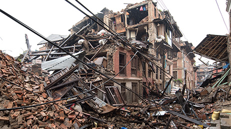
Earthquakes
Improve your response with our earthquake public information map. Monitor earthquake locations, shaking intensity, and affected population.

Help when you need it most
Esri’s Disaster Response Program (DRP) assists with disasters worldwide as part of our corporate citizenship. We support response and relief efforts with GIS technology and expertise when your capacity is exceeded.
When you need help quickly, Esri can provide data, software, configurable applications, and technical support for your emergency GIS operations. Use GIS to rapidly access and visualize mission-critical information about the specific locations affected by a disaster. Get the information you need fast, in a way that’s easy to understand, to make better decisions during a crisis.
Explore live interactive public information maps on these disaster types supported by the Disaster Response Program.
Earthquakes
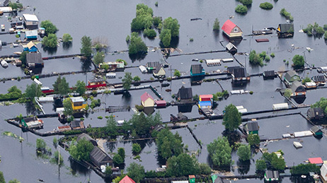
Flooding
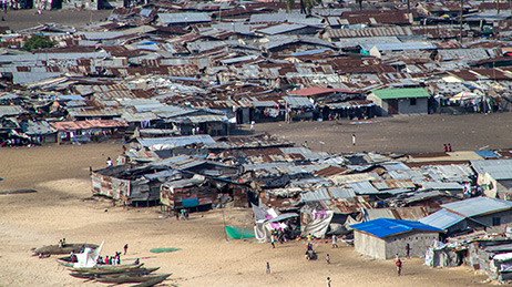
Humanitarian and Public Health
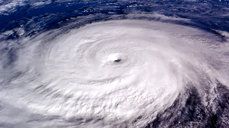
Hurricanes
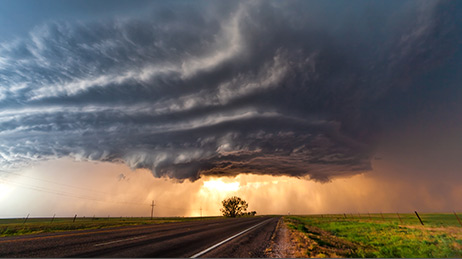
Severe Weather
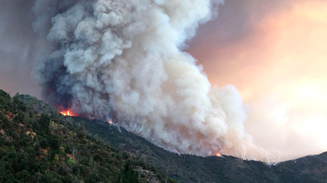
Wildfires
Esri was founded to help solve some of the world’s most difficult problems. For over 20 years, the Disaster Response Program has provided GIS support to our users and the global community during disasters. When you’ve reached your limit, here are ways we can help.
The Disaster Response Program had its busiest year on record as a result of three major hurricanes, multiple devastating wildfires, and severe flooding.
The Disaster Response Program assisted with rapid information sharing capabilities between multiple global locations in a matter of hours in response to the downing of Malaysia Airlines flight MH17.
Multiple organizations shared situational awareness applications that supported the response and clean-up efforts for the Deepwater Horizon Gulf Oil Spill.
Katrina was one of the costliest tropical cyclones in US history. The Disaster Response Program provided direct support for several agencies, including a regional database, damage assessment, search and rescue, and map production.
An emergency operations center with GIS capability was established on Pier 92 to support the World Trade Center response and recovery efforts. 20,000 maps were produced in the weeks following the 9/11 terrorist attacks.
Esri's first activation of the Disaster Response Program supported the response to the Northridge earthquake with advanced impact modeling and damage assessments.
If you need GIS software or support for your current disaster response, please request assistance by completing the form. All requests should be fully justified and are subject to approval.