
Make Maps
Build interactive maps that explain your data

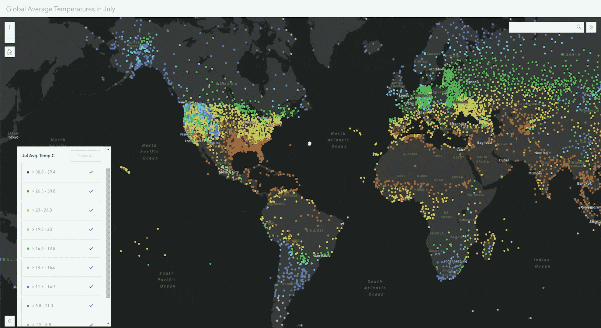
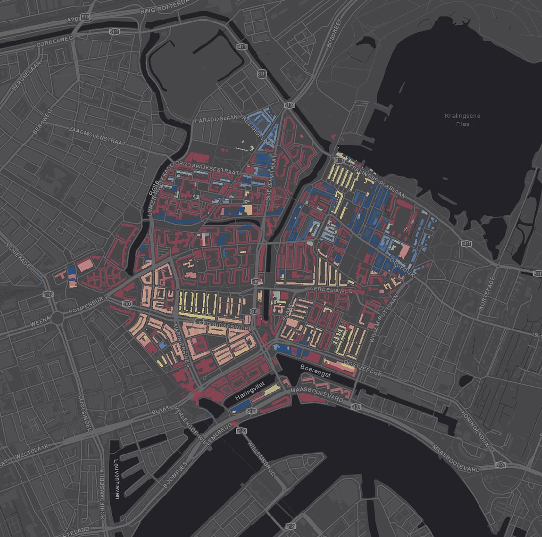
Build maps that encourage interaction
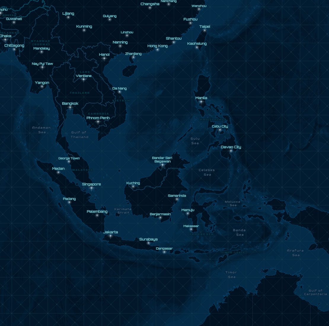
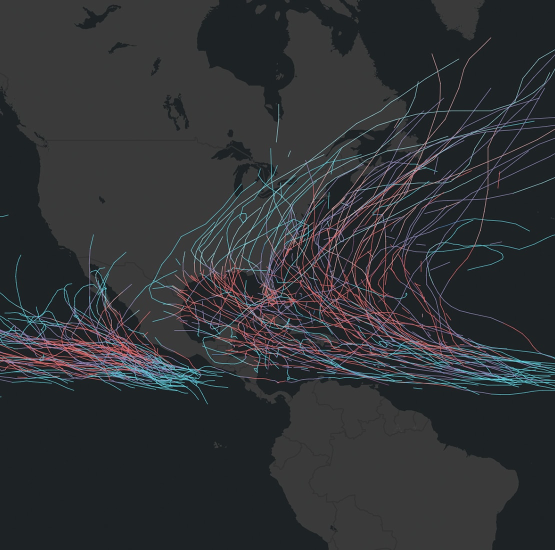
Interactive maps create immersive experiences that take maps from a static view to an opportunity for users to explore. Enhanced details and new perspectives spring from the map as you zoom in, search, and interact with the data.
There are many ways to explore interactive maps. Here are several options:
- Gain additional details as you zoom in
- Click on the map to see region-specific information in text, tables, and images
- Search the world's locations and your custom locations
- Get additional perspectives by filtering data and changing colors
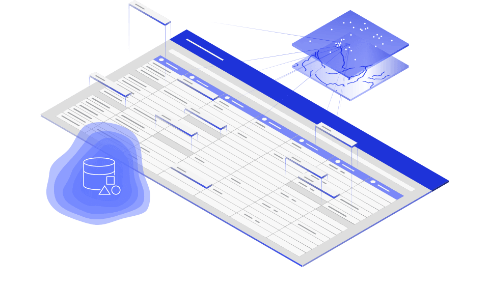
Bring your own data
Data comes in a variety of formats and from many places. ArcGIS Online makes it simple to upload files and bring in content from the cloud. Many file types are supported, including spreadsheets, KML, GeoJSON, and common geospatial files. Whenever your data needs refining, ArcGIS Online includes tools to help you prepare your data for visualization and analysis.
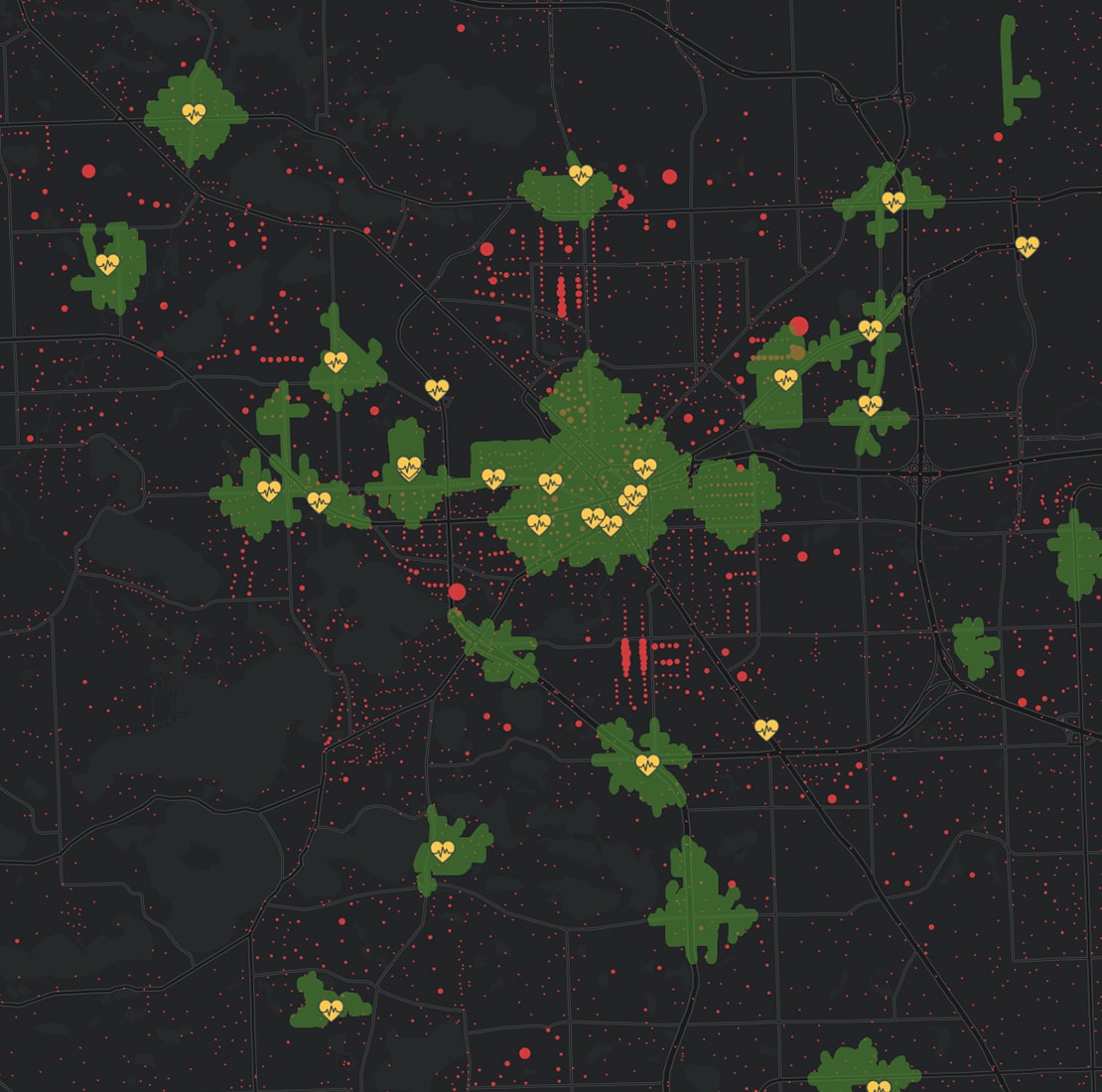
Add context to your data
Seeing your data on a map is enlightening, and it also leads you to ask new questions. Add authoritative data to your map to gain perspective and find answers to your questions. ArcGIS Online includes the extensive collection of ready-to-use maps and data in ArcGIS Living Atlas of the World.
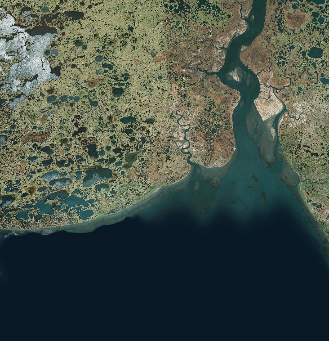
Build on high-quality basemaps
Place your data on a ready-made canvas. ArcGIS Online includes the broadest collection of current, historic, and creative basemaps. These high-quality basemaps, maintained by Esri, are built using authoritative commercial and community data. Give context and personality to your data using a variety of basemaps.
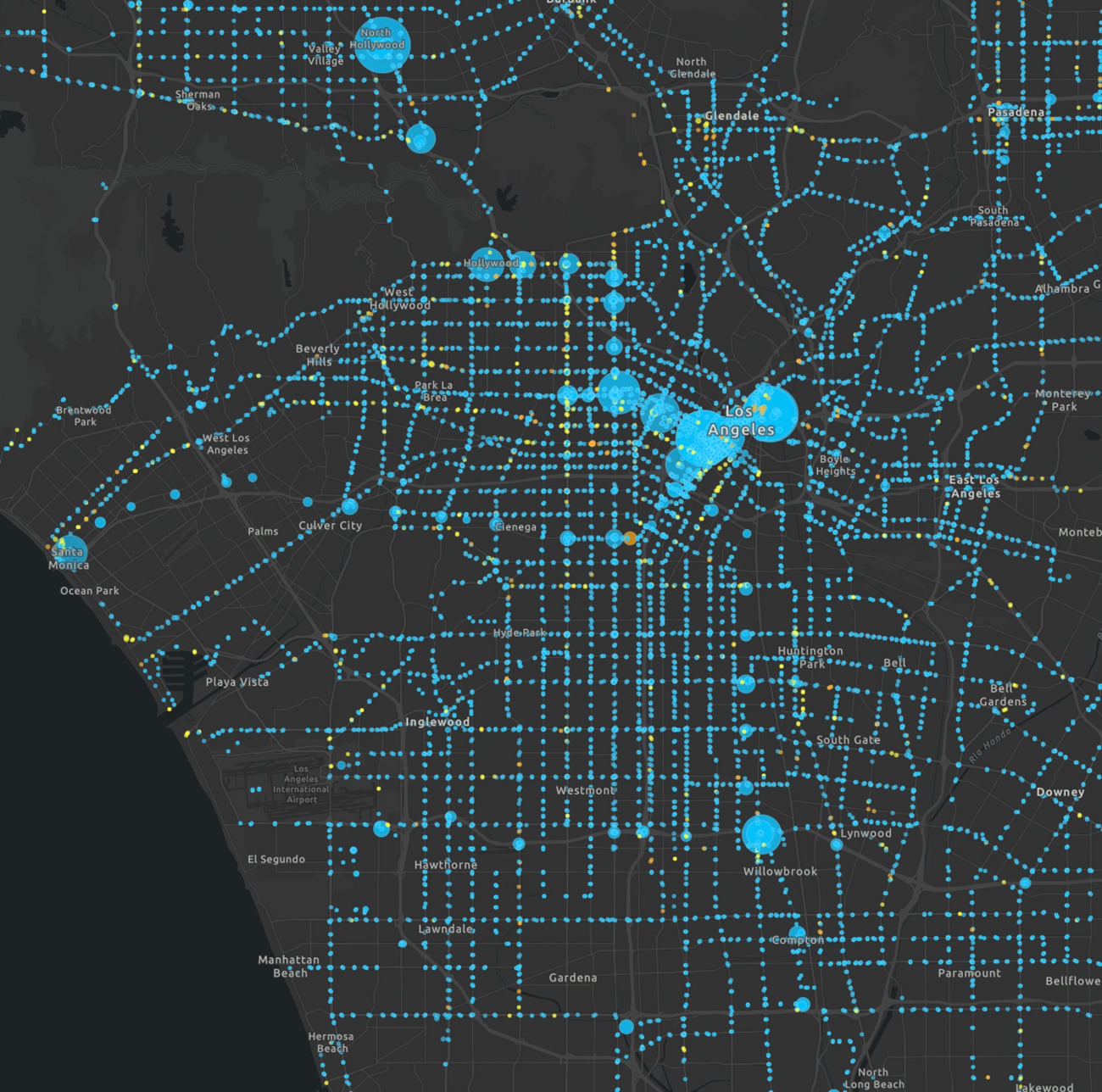
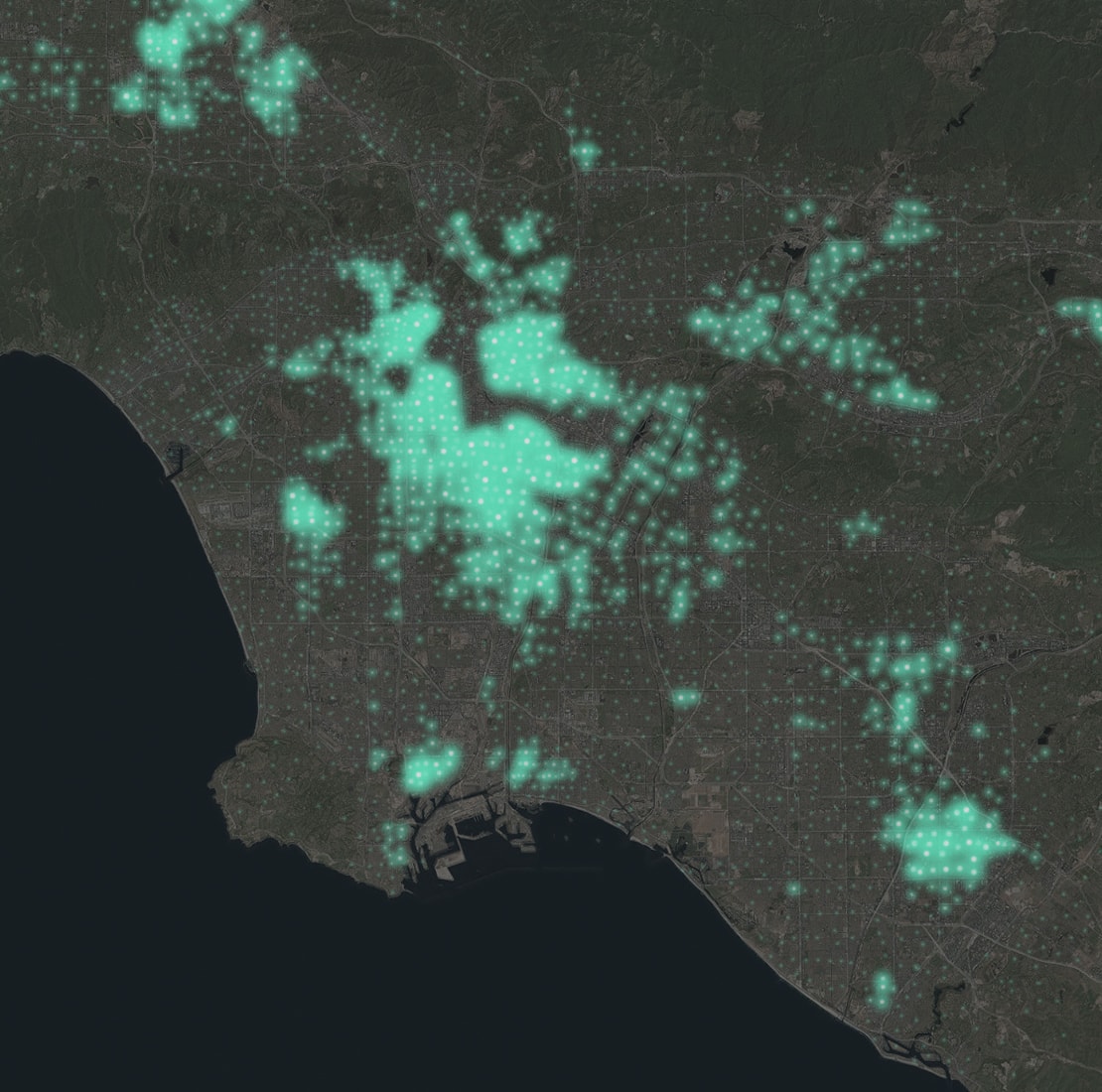
Understand your data through visualization and exploration
Patterns and spatial relationships emerge when you visualize your data in a map. Smart mapping helps you turn raw data into information by guiding your exploration and visualization. Suggested colors, styles, and symbols help you find and emphasize the interesting aspects of your data's story.
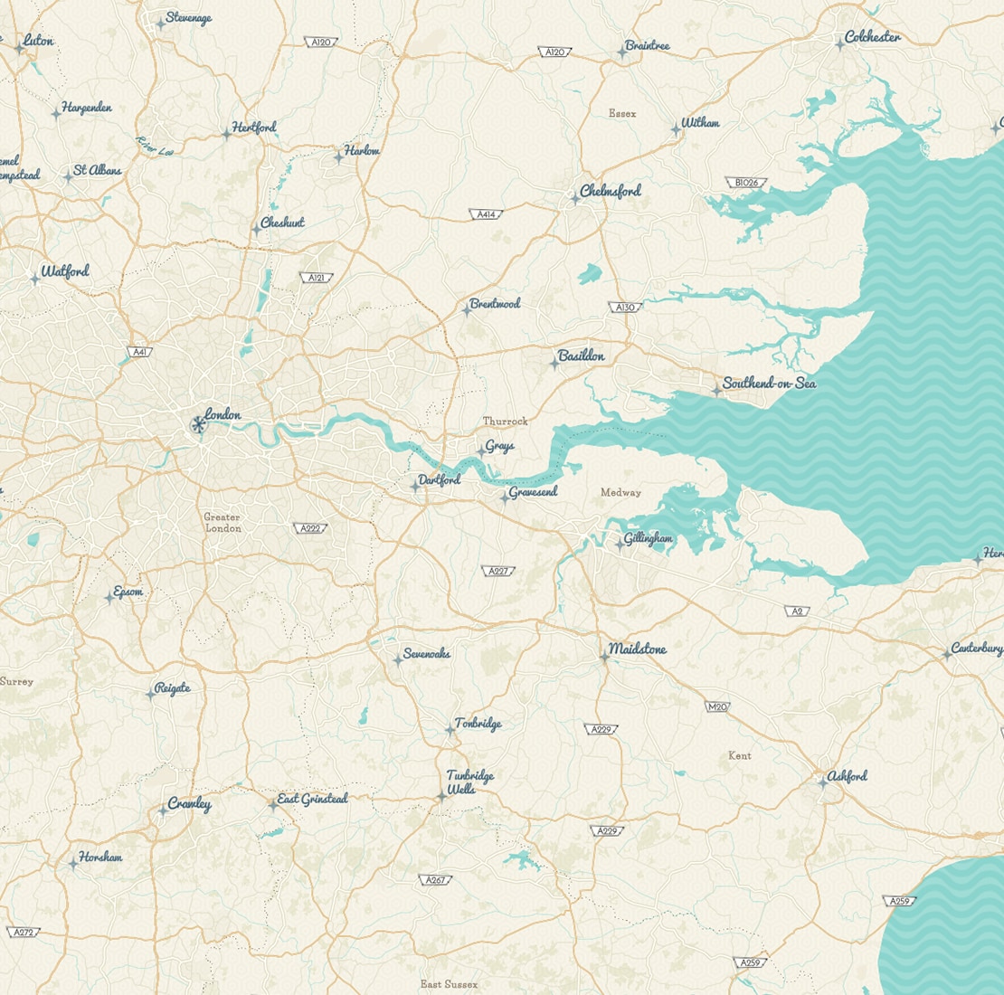
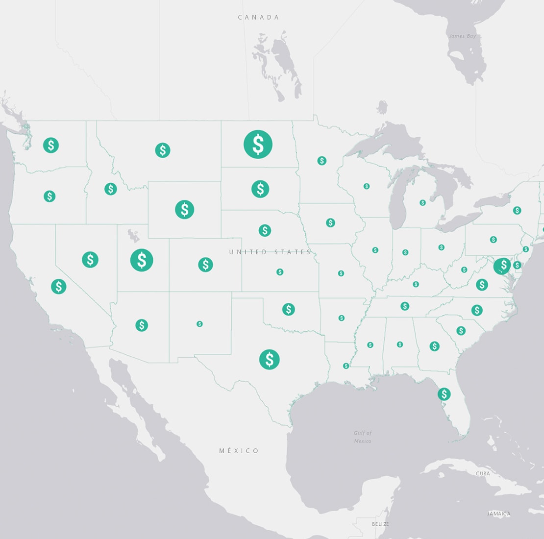
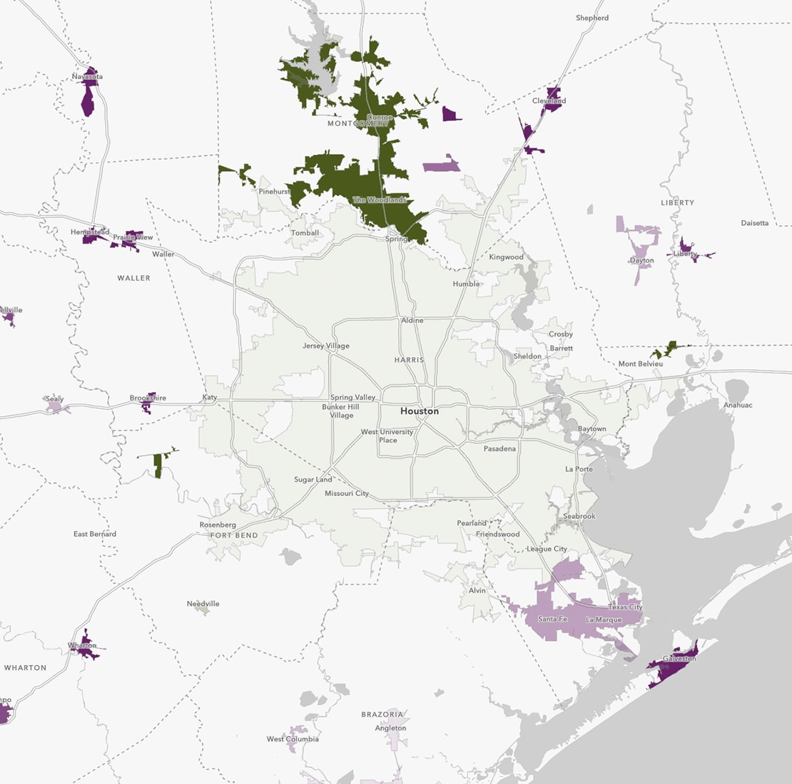
Use map styles to answer questions
Choose from a variety of advanced mapping styles. Each style provides a different view of your data.
Discover more ArcGIS Online capabilities
Share & collaborate
Instantly share your maps with anyone, anywhere. Collaborate with your colleagues.
Analyze data
Intuitive analysis tools help you learn more about your data.
Work with your data
Bring your data into a powerful system that geoenables, hosts, and scales.
Get in touch with us
Product Information
Get answers for your product, industry or technical inquiries
Contact Us
Share your details with us
Give us a call
Talk over the phone