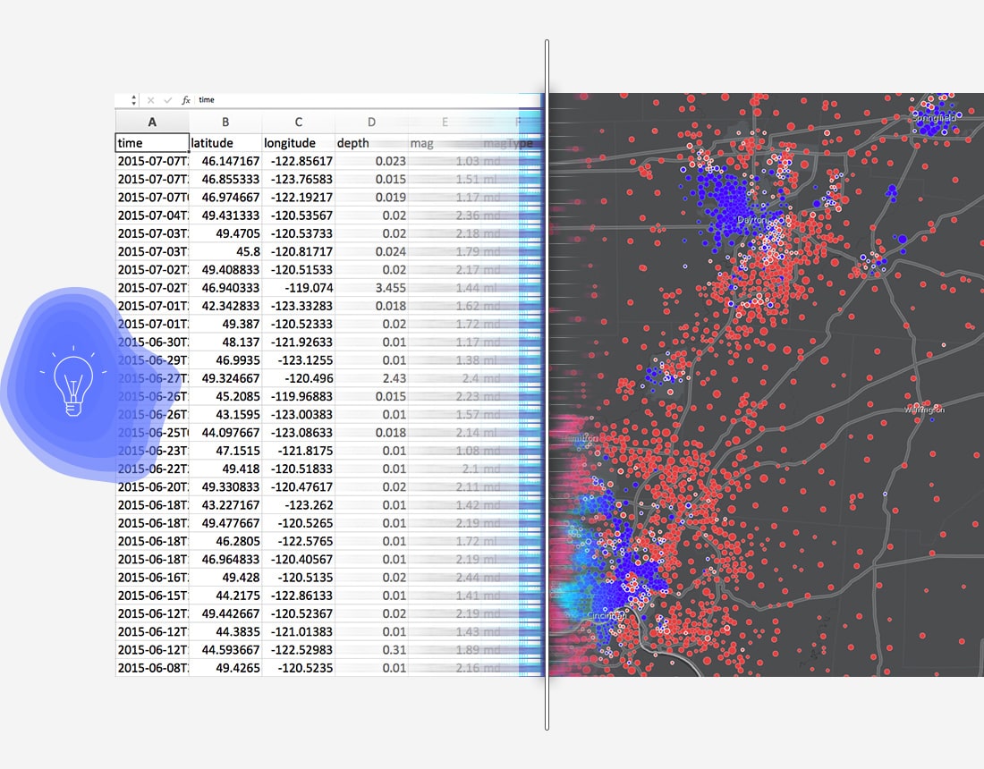
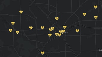
Colors of Time Map
When did that happen?
Learn how to symbolize dates to locate the oldest and newest items in your data.

Analyze data in the context of location


When did that happen?
Who is within a short walk of my facility?
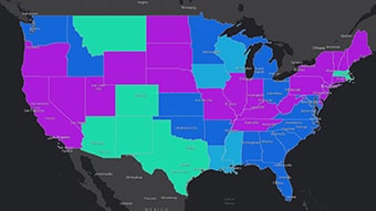
Among many categories, what’s changing the most?
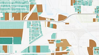
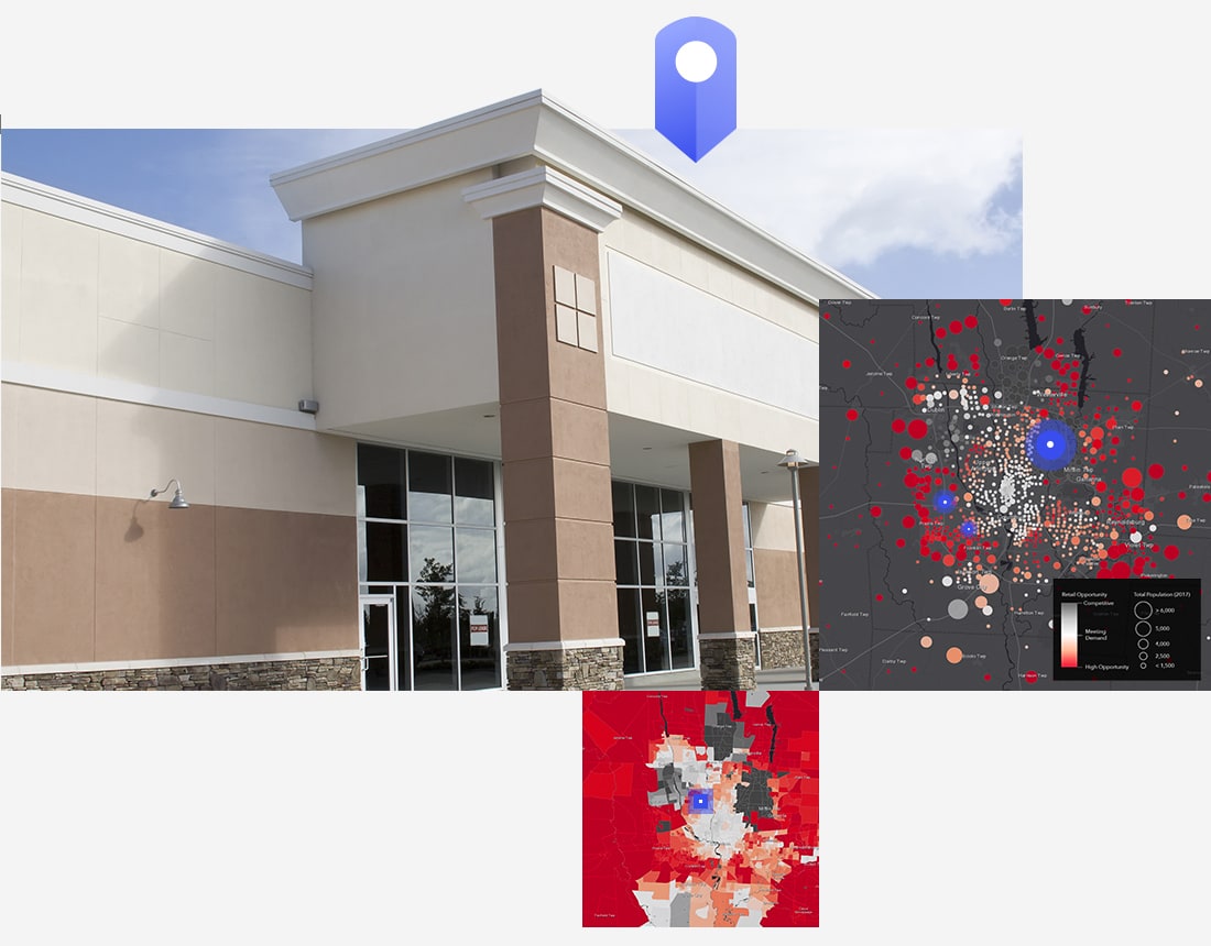
Which parcels are most likely to be developed?
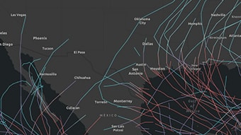
Are these two things related?
Instantly share your maps with anyone, anywhere. Collaborate with your colleagues.
Intuitive analysis tools help you learn more about your data.
Bring your data into a powerful system that geoenables, hosts, and scales.
Get answers for your product, industry or technical inquiries
Share your details with us
Talk over the phone