displaying 7 results

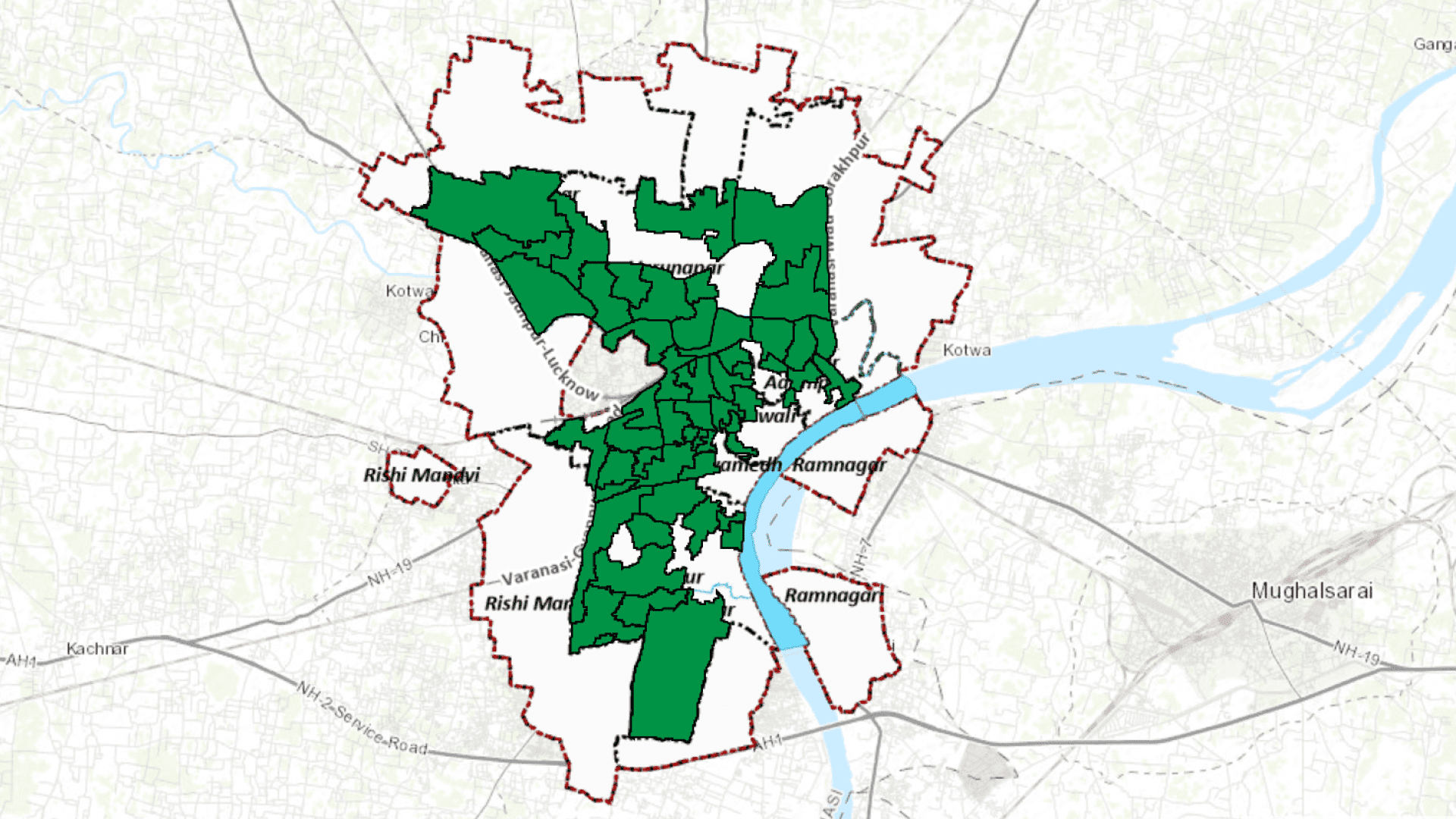
Managing uninterrupted power supply while maintaining quality is a big challenge faced by all complex electricity distribution networks, today.
Disposal of waste from urban setting has always been big challenge from the time of first urbanisation...

The mosaic datasets are used to manage, display, analyze, serve, and share imagery and raster data.
Routing services allow you to perform six types of analysis on transportation network and each...
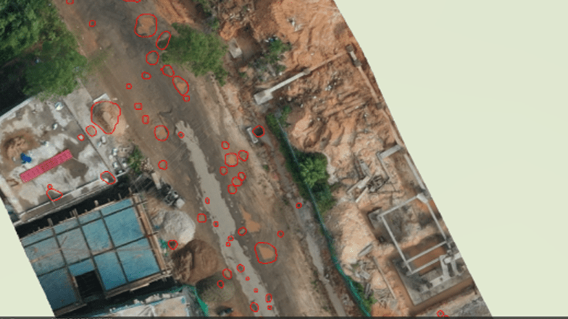
This blog describes an approach to detect and locate potholes using high resolution imagery and deep learning tools in ArcGIS Pro Image Analyst.
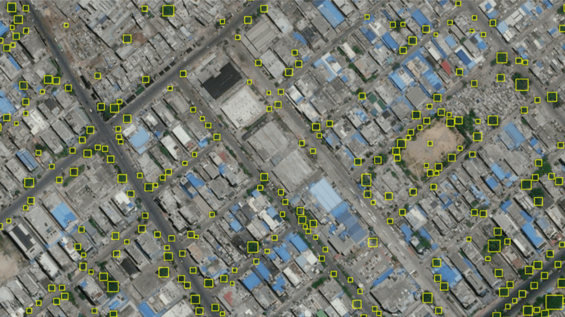
Tree inventories in urban areas help us define a baseline for monitoring...
Density-based clustering tool is an unsupervised machine learning clustering...