Curious
Encouraging students to ask questions and find answers.

Learning Geography Through Interactive Maps and Exploration

Digital Atlas
Geography is about understanding where things are, what patterns and relationships exist, and why they occur. Digital Atlas provides an interactive way to explore these fundamental questions using maps and real-world geographic data, enabling students to explore places, investigate patterns, compare different layers of information, and discover connections between people, places, and the environment. Designed for classroom learning it makes geography more visual, engaging, and inquiry-driven.
Interactive Mapping
Explore places, patterns, and relationships through dynamic maps.
Curated Geographic Content
Access relevant geographic datasets organized to support exploration and learning.
Curriculum Connection
Connect map-based exploration with the geographic concepts and topics students learn in the classroom.
Real-World Problem Solving
Apply geographic knowledge and spatial thinking to investigate real-world issues and develop evidence-based understanding.
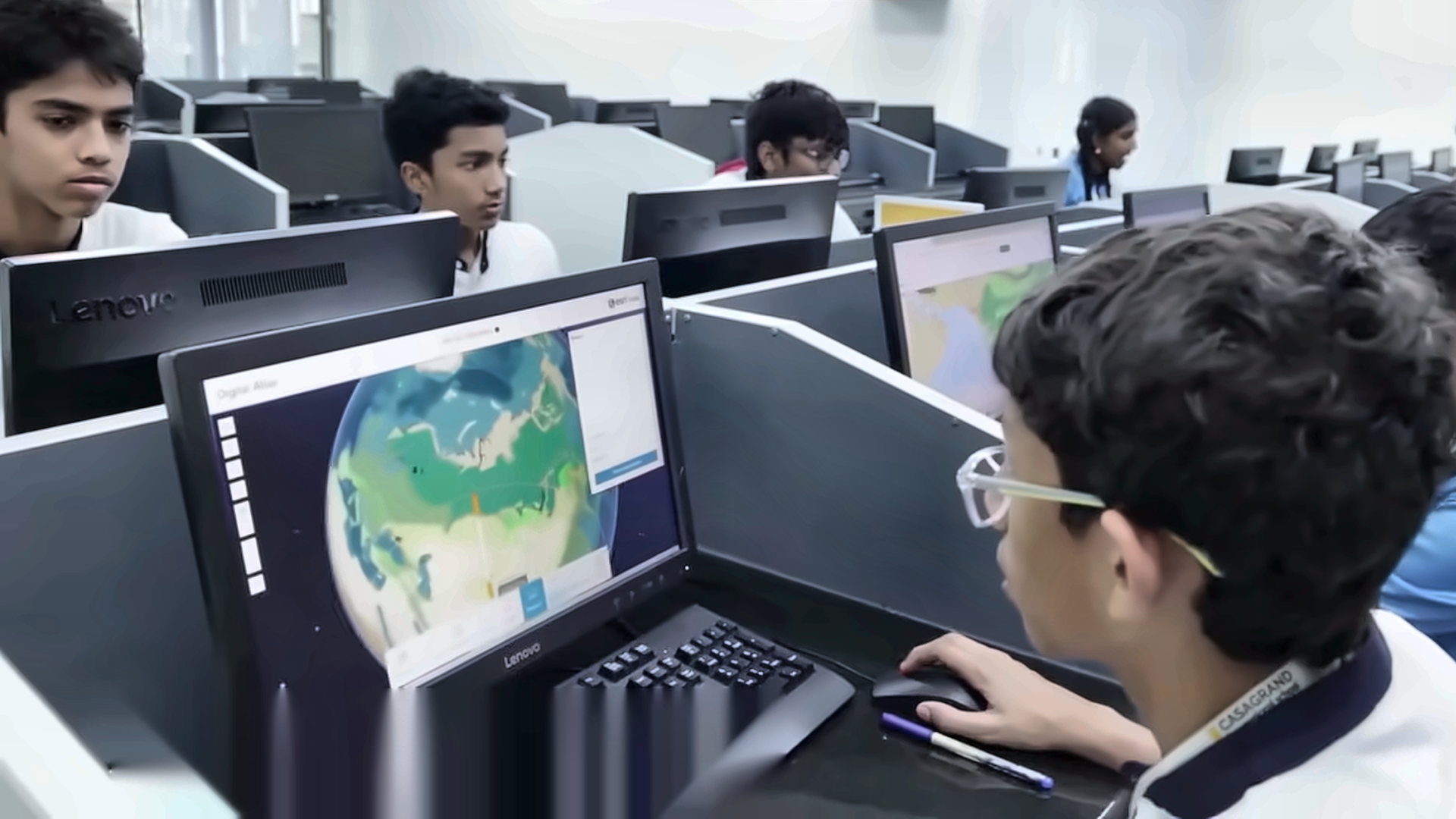
Digital Atlas is designed to complement the curriculum, helping teachers connect classroom concepts with meaningful exploration and inquiry. It can be integrated into existing lessons to introduce concepts, investigate geographic questions, examine patterns and relationships, and deepen students’ understanding of the topics they are already learning. With curriculum-relevant content and ready-to-use resources, Digital Atlas helps teachers create learning experiences that are:
Discover places, patterns, and the world around you.
Combine data, analyse patterns, and create your own findings.
Think spatially, ask questions, and find answers through real-world data.
Discover how people, places, nature, and everyday life are connected.
Turn your discoveries into meaningful insights and ideas.
The Esri India Digital Atlas is powered by ArcGIS, the world’s leading geospatial technology platform. By bringing different types of geographic information together onto interactive maps, ArcGIS enables students to visualize relationships between places, people, and natural environments.
Through Digital Atlas, students experience The Science of Where as an intuitive, hands-on learning experience.

Get answers for your product, industry or technical inquiries
Share your details with us
Talk over the phone