Defence and Intelligence

An aerial photo of a barracks, overlaid with a photo of two soldiers looking at a laptop, a photo of a person working at a computer, and a graphic of Earth

Defence and intelligence organizations integrate geographic information system (GIS) technology to manage processes, workflows, policies, and communication. With GIS, agency staff and leaders can integrate diverse types of data to derive understanding, operationalize solutions, share insights, and engage stakeholders and the public. 
 

Using GIS to incorporate location intelligence into high-level decision-making provides powerful insights on critical issues and supports science- and analysis-based situational awareness. 

Our community

Find out how your peers are using Esri technology to achieve their goals.
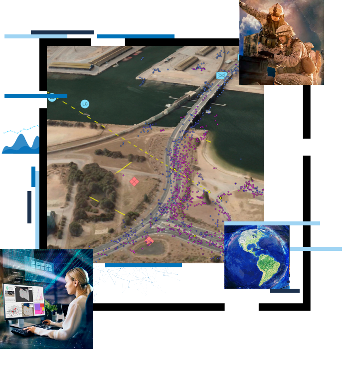
Explore stories and resources
Two people sitting in a coffee shop working with GIS software on a tablet and laptop

Request a demo


Please fill out your details below for us to contact you for the demo.

Get in touch with us

Email Us

Write to us at info@esri.in

Start Email

Call Us

Talk to us over the phone

1800-102-1918