udaipur

RESEARCH PAPER

Remote Sensing and GIS based Groundwater Resources and Demand Estimation in Ayad River Basin, Udaipur (Rajasthan)

Kuldeep Pareta,

Manager - GIS and Remote Sensing, DHI (India) Water & Environment Pvt. Ltd.

Abstract

The hydrological dynamics of the Ayad River Basin are significantly influenced by climatic changes and demographic trends. Analysis from 1901 to 2022 indicates a mean annual rainfall of 641 mm with notable variations, including dry spells in 1901-1920, 1931-1940, and 1971-2010, with the longest drought from 1971 to 2010. Since 2010, a trend toward wetter conditions has been observed, increasing water resources. However, this does not consistently boost groundwater recharge due to factors like topography and aquifer properties. Groundwater level observations from 1984 to 2022 show increases near natural water sources and vegetation, while agricultural and urban areas saw less change. Land use changes during this period revealed an inverse correlation between groundwater level changes and irrigated agriculture, urbanization, and natural vegetation. Groundwater abstraction trends from 2009 to 2022 showed an upward trend, causing increased fluctuations in groundwater levels. Future population projections and water demand estimations highlight the need for sustainable management practices. The Rainfall Infiltration Factor (RIF) method, validated against empirical approaches, estimated an average annual groundwater recharge of 62.9 MCM from 1984-2022. Projections under RCP4.5 and RCP8.5 scenarios indicate a growing disparity between groundwater demand and availability, with a projected deficit of 2% by 2026, 27% by 2056, and 39% by 2091. This study emphasizes the importance of adaptive management strategies to ensure water security in the Ayad River Basin amidst changing climatic and demographic conditions.

Introduction

Groundwater plays a critical role in meeting the water demands for domestic and agricultural purposes in Rajasthan, India. As a semi-arid region with limited surface water resources, the state heavily relies on groundwater to fulfill its water needs (Chinnasamy et al., 2015). Groundwater abstraction has increased significantly over the years to support the growing population, agricultural activities, and industrial development in the state. Groundwater in Rajasthan is primarily sourced from wells, tube wells, and hand pumps for both rural and urban communities. Due to the lack of perennial rivers and adequate rainfall, groundwater is the primary source of irrigation for agriculture in the region, making it a crucial resource for sustaining agricultural practices and urbanrural livelihoods (Dangar et al., 2021). Approximately 90% of the drinking water supply and 60% of irrigation needs are fulfilled by groundwater resources. During the 1970s and 1980s the epoch of the Green Revolution occurred in India, during which extensive groundwater extraction was practiced in Rajasthan (Mukherji, 2020). The demand for groundwater is continuously increasing due to the growing population, the establishment of additional industries and the intensification of irrigation. This escalating demand has accentuated the pressure on groundwater reserves. Alarmingly, around 80% of the state’s territories have witnessed a decline in groundwater levels due to overexploitation and excessive pumping of groundwater leading to declining water levels and aquifer depletion in various parts of the state, particularly in areas with intensive agricultural activities (Parimita et al., 2020). Moreover, numerous towns and villages are suffering from water scarcity, particularly in the summer months, highlighting the urgency of sustainable groundwater management strategies. The overexploitation has raised concerns about the long-term sustainability of groundwater resources and potential adverse impacts on the local environment and communities.

About the Study Area

The Ayad river basin extends from 24° 50’ 16” N to 24° 27’ 46” N and 73° 31’ 44” E to 73° 59’ 44” E covering an area of 1206.75 Km2. Administratively, the Ayad river basin falls into 4 tehsils (Girwa - 58.48%, Mavli - 19.85%, Vallabh Nagar - 6.97%, Gogunda - 5.94%) of Udaipur district and 1 tehsil (Nathdwara - 8.76%) of Rajsamand district. The Ayad river originates from the hills of Gogunda in the north-west of Udaipur and travels through for 68.45 Km before joining the Vallabh Nagar lake in the eastern part of Udaipur. The Ayad river is the major river flowing through Udaipur, it is seasonal, and discharge is peaking during Monsoons (Pareta et al., 2022). The Ayad river is a tributary of the Berach river, which is itself a tributary of Chambal River of Yamuna basin

Figure 1. Ayad River Basin, Udaipur

Data Used and Their Sources

Table 1. Collected data used and their sources

Methodology

Groundwater recharge

Annual groundwater recharge of Ayad river basin has been carried out using the rainfall infiltration factor method, which is a well-established method and has been widely used in hydrological studies to estimate groundwater recharge in various regions (UNDP, 1985; Pareta et a., 2015; CGWB, 2022; and Pareta, 2023). The method is based on a rainfall infiltration factor RIF, which is multiplied by the annual rainfall P and upscaled to the area of the considered hydrogeological unit area AHU leading to the following equation for estimation of the volumetric groundwater recharge. RGW=AHURIFP.

Central Groundwater Board (CGWB) (GEC 1997) has recommended the rainfall infiltration factors RIF for different hydrogeological units given in Table 2. In the table are also listed the areas of the different units.

Table 2. Hydrogeological unit area AHU and rainfall infiltration factor RIF for Ayad river basin

Projections of climate change

Projections of rainfall were carried out for the Ayad River Basin for medium-range future (2029-2060) and far future (2071-2100) under the two representative concentration pathways emission scenarios RCP4.5 and RCP8.5 (IPCC, 2014). The RCP scenarios are widely used to project future greenhouse gas emissions and their potential impacts on the climate.

The GCMs were dynamically downscaled by the same RCM model to obtain a spatial resolution more appropriate for hydrological applications.

Table 3. GCMs and RCM from the CORDEX project

These models were selected based on their ability to accurately represent regional climate conditions and their reliability in simulating historical climate patterns in the study area (DHI, 2023. https://www.flooddroughtmonitor.com/ DataApp/). Based on the projections from the three climate model combinations mean monthly and annual values were computed to understand the potential changes in rainfall patterns in the Ayad River Basin for the near 2016-2035, medium-range 2046-2065 and far future 2081-2100. Historical rainfall data spanning from 1984 to 2022, covering a total of 39 years, was used as the reference period. Monthly average rainfall data was extracted from the historical records and for projecting future rainfall for the three periods, the monthly average rainfall data was multiplied by the climate change factor expressed as the fraction between the projected future monthly rainfall and the simulated monthly rainfall for the reference period, Table 4. The calculations for the projected monthly rainfall for the three periods are also presented in Table 4.

Table 4. Climate change factors for the future periods 2016-2035, 2046-2065 and 2081-2100 and for RCP4.5 and RCP8.5

Projections of future population

The projection of the future population in the Ayad river basin involves a systematic approach that considers various demographic factors and trends. Historical demographic data from 1901 to 2011 has been collected from Census of India (2011). Using this data, population growth rates and patterns have been analyzed to identify the factors driving changes in population over time. Projection has been carried out for the next 80 years using various methods e.g., arithmetical increase, geometrical increase, incremental increase, and state urban increase method (Stillwell et al., 2011). For estimating the population for the next 80 years, three factors were considered of significance for future developments: (i) past growth trends of population and its patterns (1901-2011), and (ii) growth of various economic activities such as industrial development, agriculture, and tourism related activities, and (iii) urbanization of surrounding villages (CDP, 2014).

Projections of future water demand

Future water demand refers to the projected quantity of water required to meet the needs of a growing population, intensification of irrigation for food production, expanding industries, and changing patterns of water use over time (Boretti et al., 2019). It is essential to estimate future water demand accurately to ensure sustainable water management and allocation. Factors such as population growth and water use patterns, urbanization, industrial development, agricultural expansion and cultivation practices, and climate change can influence water demand patterns (Kirby et al., 2022). Among the diverse techniques available for water demand projection, this study adopts simple methods based on projected increase in population and demand for industrial and agricultural uses.

Results and Discussion

Estimation of groundwater recharge

Pareta (2023) validated groundwater recharge estimation by rainfall infiltration factor (RIF) method by comparing the results against estimates obtained by the water fluctuation method, which is the most widely used method for recharge estimation. As reported in Pareta (2023) and listed in Table 5 the results obtained by the various methods compared favorably suggesting that the rainfall infiltration method is a valid method and thus will be used in this study.

Table 5. Calculation of annual groundwater resource (1984-2022) by rainfall infiltration factor (RIF) and empirical formulas in Ayad river basin 1This formula was later modified by further work at U.P. Irrigation Research Institute, Roorkee (Chaturvedi, 1973)

Projection of future population

The historical demographic data from 1901 to 2011 (Census of India, 2011) and projected population developments (2021-2100) using the linear method, geometric method, arithmetical increase method, incremental increase method, and exponential method (Stillwell et al., 2011) are summarized in Table 6.

The population projections given in Table 6 indicate that the geometrical increase and linear methods result in higher projected populations compared to other methods. After a comprehensive comparison of population growth trends over the past century and population forecasts obtained from various methods, it is observed that the incremental increase method is a suitable and accurate projection for the future population. So, an incremental increase method is considered here, and according to this method, the population is expected to reach 1.64 million by the end of 2071 and 2.19 million by the end of 2100.

Table 6. Projected population (2021-2100) by various methods in Ayad River Basin
Table 7. Tourist population (2000-2022) and projected tourist population (2031-2100)

Projection of future water demand

Future water demand refers to the projected quantity of water required to meet the needs of a growing population, expanding industries, and changing patterns of water use over time (Boretti et al., 2019). It is essential to estimate future water demand accurately to ensure sustainable water management and allocation. Factors such as population growth, urbanization, industrial development, agricultural expansion, and climate change can influence water demand patterns (Kirby et al., 2022). Among the diverse techniques available for water demand projection, this study adopts simple methods for the estimation.

The total water demand for Udaipur town, considering its resident population of 451,100 (as of 2011) and an estimated floating population of 30,000, is estimated to be 65 million liters per day (MLD). This calculation is based on the water supply norm of 135 liters per capita per day (lpcd) (CDP, 2014, pp. 68). The total water demand for all sectors, including domestic, industrial, institutional, tourist, and floating population, was 115 MLD (million liters per day) according to data from PHED in 2011 (IUC, 2020). As outlined in the City Development Plan of 2041 (CDP, 2014), the projected demand for raw water in the Udaipur city is anticipated to reach 101 MLD (Million Liters per Day) by 2021, 122 MLD by 2031, and further increase to 148 MLD by 2041. 

Considering the literature reviewed, the raw water demand has been determined using the per capita water supply norms of 135 LPCD (liters per capita per day) for domestic, industrial, institutional, and tourist populations. Additionally, 30% of the total water supply has been allocated for agricultural practices in Ayad river basin. Consequently, the per capita raw water demand has been projected to be approximately 175 LPCD (liters per capita per day). Based on the aforementioned information, the projected future water demand is presented in the Table 8.
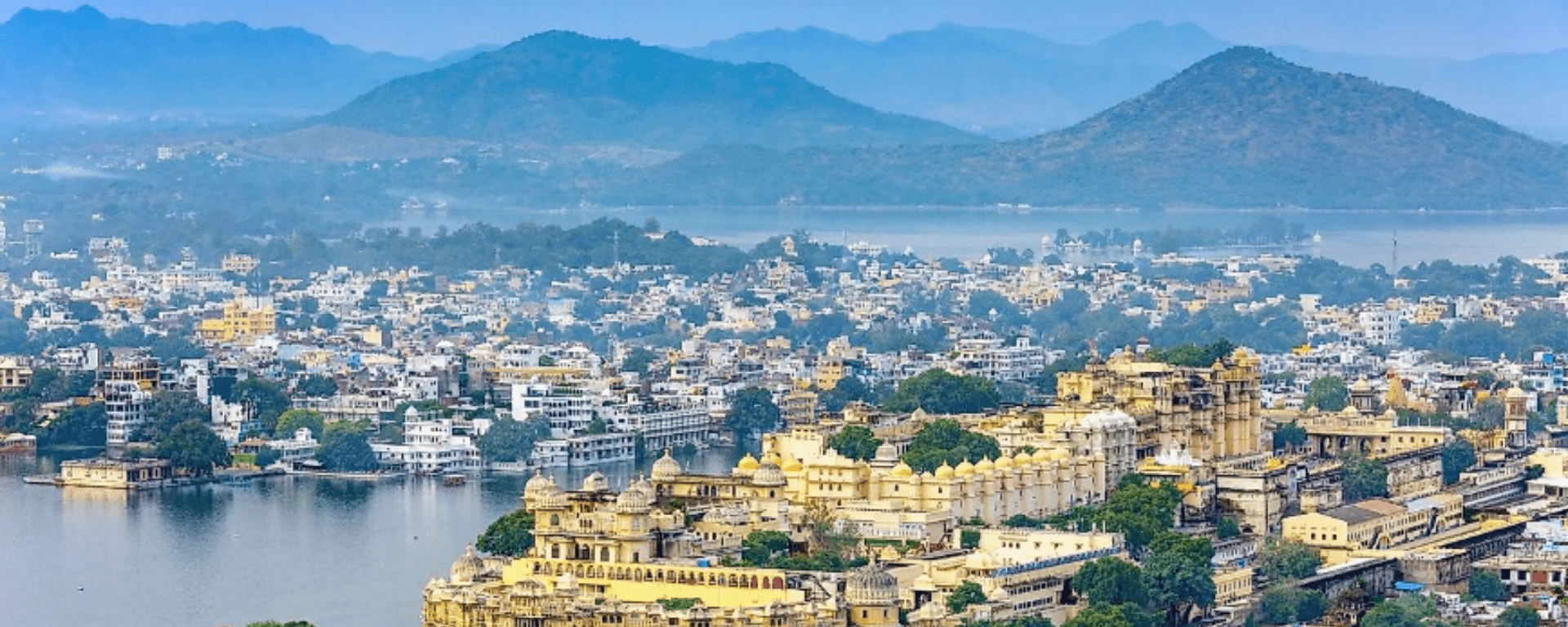
Table 8. Estimated water demand for domestic, institutional, industrial, tourism, and agricultural purposes (2021-2100)

Estimation of groundwater resources and future water demand

The estimation of groundwater resources and future water demand is a vital undertaking in water resource management, necessitated by the imperative of ensuring sustainable water supply for growing populations and evolving socioeconomic needs (Carrard et al., 2019). This process involves a comprehensive assessment of both the available groundwater reserves and the projected demand for water in the years ahead. For this analysis, we have obtained predicted rainfall data corresponding to climate change RCP4.5 and RCP8 scenarios, as presented in Table 4. Utilizing these rainfall datasets, we have applied the rainfall infiltration factors (RIF) method to estimate the groundwater recharge, a detailed expansion of which is available in Table 5. In our attempt to forecast future population figures, we have employed four statistics methods such as arithmetical increase, geometrical increase, incremental increase, and state urban increase. Upon comprehensive assessment, we have determined that the incremental increase method offers the most accurate population projection, for detail please refer to Table 6. Drawing from these projected population figures and considering prevailing agricultural practices in the Ayad river basin, we have conducted estimations of water demand for domestic, institutional industrial, tourism, and agricultural purposes. The specifics of this estimation can be referenced in Table 8. To encapsulate the outcomes of our analysis, we have consolidated relevant statistics in Table 9. Subsequently, we have conducted a comparative analysis, comparing our estimated groundwater resources with the future water demand for domestic, industrial, and agricultural purposes.

Table 9. Estimated groundwater recharge, projected population, and future water demand for domestic, institutional, industrial, tourism, and agricultural activities for year 2026, 2056, and 2091

The mean annual rainfall in the Ayad river basin, spanning 122 years, stands at 641.4 mm. Correspondingly, the estimated average groundwater resource over the same period is 62.9 million cubic meters (MCM). The future water demand for the years 2021 and 2022 surpasses the estimated groundwater resource by 34.7% and 18.6%, respectively. Notably, there is a reduction in this percentage for 2022, a trend likely influenced by the interplay between groundwater resources and annual precipitation. The observed 12% decrease in rainfall during 2022 compared to 2021 is a contributing factor to this shift.

Groundwater resources has been estimated from projected rainfall based on RCP4.5 climate change scenarios. Upon comparing the estimated groundwater resources with future water demand, a notable deficit in available groundwater was identified for the years 2026, 2056, and 2091. Specifically, the future water demand escalates was determined to be 2%, 27%, and 39%, respectively. This observation underscores the significance of thorough assessments in projecting groundwater availability relative to future demand, emphasizing the need for sustainable water management practices in the face of changing climatic scenarios. 

Similarly, the same pattern is found when we estimate the groundwater resources from projected rainfall based on RCP8.5 climate change scenarios. Available estimated groundwater resources deficit future water demand by 14%, 24% and 33% in the years 2026, 2056 and 2091, respectively. In both scenarios, projected groundwater resources deficit future water demand. But this is decreasing in the future, the main reason for this could be population growth and over-exploitation of groundwater resources. 

The outcome of this estimation process provides information about the balance between groundwater resources and future demand, which can be carefully considered in future water resource management strategies. Based on these estimates, sustainable water allocation plans, efficient extraction practices, and policies to promote water conservation can be formulated.

Conclusion

Groundwater is crucial for ecosystems, livelihoods, and economic activities. Our study of the Ayad River Basin, from 1901 to 2022, provides insights into groundwater dynamics influenced by climate change and demographic trends. The average annual rainfall of 641 mm varied significantly, with notable wet and dry periods. Since 2010, wetter conditions have increased water resources, though not consistently boosting groundwater recharge due to topographical and geological factors.

Groundwater level analysis from 1984 to 2022 showed increasing trends near natural water sources and vegetation, while agricultural and urban areas experienced stable or declining levels. Land use changes, especially urbanization and intensified agriculture, impacted groundwater levels, emphasizing the need for sustainable planning. Population growth further stresses future water demand, with projections aiding in resource management.

Using the Rainfall Infiltration Factor (RIF) method, we estimated the average groundwater resource for 1984-2022 at 62.9 MCM. Future projections under climate scenarios (RCP4.5 and RCP8.5) suggest groundwater resources might exceed future demands initially but will face deficits by 2091 due to population growth and overexploitation. Sustainable management is crucial to address these challenges.

Our study highlights the interplay between natural processes and human activities, urging the adoption of sustainable water management practices. This approach prioritizes ecological integrity and socio-economic development to ensure water security for future generations in the Ayad River Basin.

References

  1. Bhattacharya, A. P., Jindal, S. R., & Srivastava, B. P. (1954). Penetration of rainwater to groundwater table in western U.P., India. Memo No. 25. U.P.I.R.I Tech.
  2. Boretti, A., & Rosa, L. (2019). Reassessing the projections of the World Water Development Report. npj Clean Water, 2, 15. https://doi.org/10.1038/s41545-019-0039-9. 
  3. Carrard, N., Foster, T., & Willetts, J. (2019). Groundwater as a source of drinking water in southeast Asia and the Pacific: a multi-country review of current reliance and resource concerns. Water, 11, 1605. https://doi. org/10.3390/w11081605.
  4. CDP. (2014). City development plan for Udaipur, 2041. Ministry of Urban Development, Government of India.
  5. Census of India. (2011). Census of India 2011 - Rajasthan - series 09 - Part XII B - district census handbook, Udaipur. https://censusindia.gov.in/nada/index.php/catalog/1033. 
  6. CGWB. (2022). Aquifer mapping and groundwater management plan Udaipur district, Rajasthan. Draft Report, Central Ground Water Board, Govt. of India. https://doi.org/10.24887/CGWBUdaipur.
  7. Chaturvedi, R. S. (1973). A note on the investigation of groundwater resources in western districts of Uttar Pradesh. Annual Report, U. P. Irrigation Research Institute, pp. 86-122.
  8. Chinnasamy, P., Maheshwari, B., & Prathapar, S. (2015). Understanding groundwater storage changes and recharge in Rajasthan, India through remote sensing. Water, 7, 5547-5565. https://doi.org/10.3390/w7105547. 
  9. Dangar, S., Asoka, A., & Mishra, V. (2021). Causes and implications of groundwater depletion in India: A review. Journal of Hydrology, 596. https://doi.org/10.1016/j. jhydrol.2021.126103.
  10. GEC-97. (1997). Report of the groundwater resource estimation committee (GEC), Ministry of Water Resources, Government of India, New Delhi. pp. 217. https://doi. org/10.13140/RG.2.2.33956.12165.
  11. IPCC. (2014). Climate Change 2014: Synthesis report. Contribution of Working Groups I, II and III to the Fifth Assessment Report of the Intergovernmental Panel on Climate Change.
  12. Kirby, M., & Mainuddin, M. (2022). The impact of climate change, population growth and development on sustainable water security in Bangladesh to 2100. Scientific Reports, 12, 22344. https://doi.org/10.1038/ s41598-022-26807-6.
  13. Krishna, R. (1970). Hydrometeorological aspects of estimating groundwater potential, Seminar Volume. Groundwater Potential of Hard Rock Areas of India. Bangalore, India.
  14. Kumar, C. P. (2002). Assessment of natural ground water recharge in upper ganga canal command area. Journal of Applied Hydrology, 15(4), 13-20.
  15. Mukherji, A. (2020). Sustainable groundwater management in india needs a water-energy-food nexus approach. Applied Economic Perspectives and Policy. https:// uploads.water-energy-food.org/resources/SustainableGroundwater-Management-in-India.pdf 
  16. National Geophysical Research Institute (NGRI). (2003). https://www.ngri.res.in/index.php.
  17. Pareta, K. (2023). Hydro-geological investigation and groundwater resource estimation. In: Rai PK (Eds.), River Conservation and Water Resource Management. Advances in Geographical and Environmental Sciences. Springer, Singapore. pp. 165-200. https://doi.org/10.1007/978- 981-99-2605-3_9.
  18. Pareta, K., & Pareta, U. (2015). Groundwater balance and resource estimation using geospatial technology. In: Esri International User Conference, San Diego, California. pp. 1-18. https://proceedings.esri.com/library/userconf/ proc15/papers/110_10.pdf.
  19. Pareta, K., Reddy, T., & Singh, H. (2022). Geomorphological analysis of Ayad river basin, Udaipur (India) using remote sensing and GIS techniques. European Journal of Applied Sciences, 10(5), 423-442. https://doi.org/10.14738/ aivp.105.12962
  20. Parimita, S., & Narayan, C. (2020). Study of fluctuations in the groundwater level in Rajasthan: a spatio-temporal approach. International Journal of Engineering and Technical Research, 9, 1188-1192.
  21. Sehgal, S. R. (1973). Ground water resources of Punjab state. 3rd Annual Research Session, Central Board of Irrigation and Power, New Delhi, India.
  22. Stillwell, J., & Clarke, M. (2011). Population dynamics and projection methods. Springer Dordrecht. https:// doi.org/10.1007/978-90-481-8930-4.
  23. UNDP. (1985). Groundwater studies in the Ghaggar river basin in Punjab, Haryana, and Rajasthan. Final technical report, volume I - Surface and Ground water resources. New York: UNDP.


To download the PDF version of this article, click the button below.

Download PDF
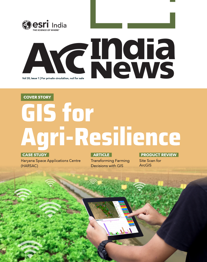
  • GIS for Agri-Resilience

    GIS for Agri-Resilience

    India is one of the major players in the agriculture sector worldwide, and it is the primary source of livelihood for ~45% of the country’s population. The sector plays a major role in supporting livelihoods and ensuring food security for millions.

  • HARSAC Harvests Success: Groundbreaking  Agri Reforms Mapped with ArcGIS

    HARSAC Harvests Success: Groundbreaking Agri Reforms Mapped with ArcGIS

    Haryana Space Applications Centre (HARSAC) has developed and deployed a Geospatial Technology-based Crop Management Solution to address challenges in agricultural management.

  • GIS in education

    Technology-enabled Agriculture Education: UAS, Raichur

    The mission of the University of Agricultural Sciences (UAS), Raichur is to generate quality human resources in the area of agriculture and allied disciplines, generate cutting-edge competitive technologies.

  • Enabling Suez to Achieve Optimum Efficiency in Water Projects

    Enabling Suez to Achieve Optimum Efficiency in Water Projects

    Suez Group has been active in the Indian water and wastewater market since 1978 and established an Indian subsidiary in 1986. Suez uses Esri products to enable comprehensive study and planning through GIS mapping, field surveys, and door-to-door surveys.

Previous
Next