research paper

RESEARCH PAPER

AI-Enabled Urban Infrastructure Management

Shreemoyee Bag, Dr. Prafulla Parlewar

PG – II and Professor, Department of Urban Planning, School of Planning and Architecture, New Delhi

Abstract

The rapid growth of urban population globally has intensified the demand for highly efficient, disaster risk resilient as well as cost-effective infrastructure (transportation systems, water supply, sewerage, drainage, solid waste management, power supply). The failure of urban planning in India lies in the lack of democratic participation, our cities developing at a faster rate than calculated by planners as well as a top down approach for planning.

This research examines the combined use of GIS with Artificial Intelligence and the Internet of Things as refined products of Big Data, in revolutionizing urban infrastructure monitoring and management, resulting in the sustainable, resilient, cost-effective and efficient infrastructure that is required for present and future generations, in essence transitioning from reactive to proactive planning.

The research will delve into first understanding the status quo of existing physical infrastructure – transportation network, water supply, sewerage, drainage, solid waste management and power supply – in terms of quantitative and quantified qualitative data, as well as data from primary and secondary surveys, interviews, policy analysis and digital twin modelling.

Key applications such as intelligent traffic management, predictive maintenance of critical assets, and optimized resource allocation are examined in detail. While highlighting the significant benefits, the thesis also addresses the inherent challenges, including concerns related to data privacy, algorithmic bias, implementation costs, and the need for robust technical infrastructure. The analysis concludes by identifying critical research gaps and outlining future directions, emphasizing the necessity for a balanced, ethical, and human-centric approach to developing truly smart, resilient, and sustainable urban environments.

Introduction

As the world grapples with the complex challenges posed by urbanization, climate change, and resource depletion, the imperative for sustainable infrastructure development has never been more pressing. In this context, the integration of Artificial Intelligence (AI) technologies offers unprecedented opportunities to revolutionize the planning, design, construction, and management of infrastructure systems The challenges of rapid urbanization in India are multifaceted as well as interconnected, causing a domino effect on the urban services and utility networks, thus necessitating the demand for highly efficient, multi-hazard resilient, cost effective infrastructure. (Balasubramanian, S., 2024).

In the context of India, the failure of traditional urban planning often stems from a lack of democratic participation and a prevalent top-down approach, resulting in cities developing at a pace and in patterns that outstrip conventional planning capabilities (Ananya Roy, 2009). This leads to critical issues such as economic disparities, social inequality and exclusion, environmental degradation, overcrowding, housing shortages, and an overwhelming strain on existing infrastructure.

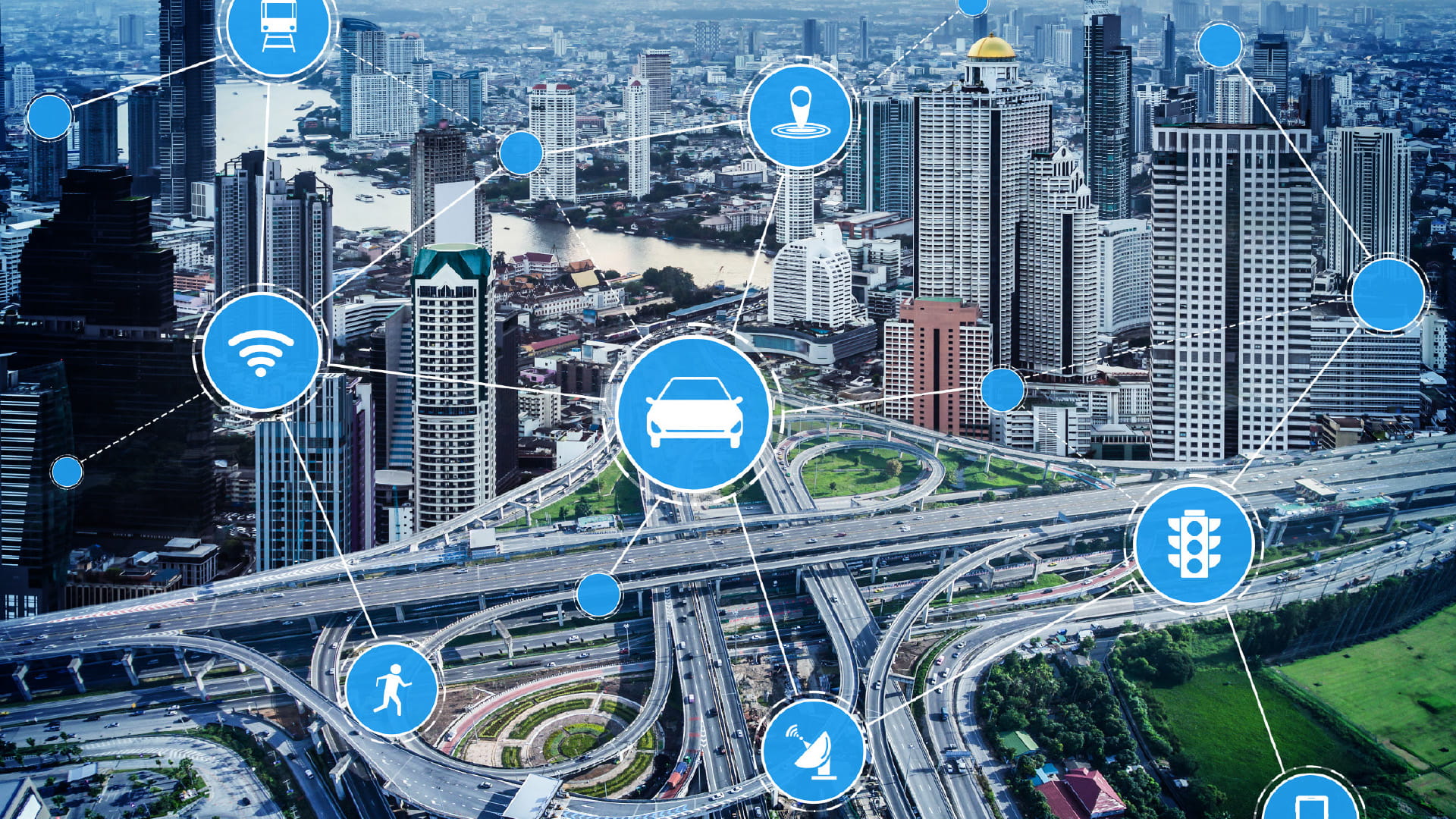
This paper examines the transformative potential of integrating Artificial Intelligence (AI), Geographic Information Systems (GIS), and the Internet of Things (IoT) – collectively, refined products of Big Data – to revolutionize urban infrastructure monitoring and management.

AI-enabled urban infrastructure monitoring uses AI technologies like machine learning and computer vision to design, manage, and optimize city systems, thus integrating diverse data from traffic, waste, energy, water, and safety networks (Setyadi and Jaya, 2025). In addition, AI-driven predictive analytics models have enabled early warning systems for earthquakes, floods and wildfires, facilitating proactive disaster preparedness and risk mitigation. (Bajwa, 2025). Integrating these with an AI-enabled monitoring system promises to transition urban planning from reactive problem solving to proactive, preventative strategies, fostering truly sustainable, resilient, cost-effective, and efficient infrastructure required for present and future generations (Rad, A. M. et. al., 2025).

The research outlines the effective integration of Geo Informatics with AI and IoT technologies, explores key methodologies for developing predictive infrastructure models, and investigates their contribution to multi-hazard resilience. It also critically addresses the ethical considerations associated with deploying AI for urban infrastructure, including data privacy, algorithmic bias, and equitable access to benefits.


Literature Review

The integration of geospatial analytics and Internet of Things (IoT)-based sensor networks has transformed hazard detection, risk assessment, and disaster preparedness across multiple domains (Park et al., 2023). Studies have shown that AI enhanced seismic monitoring systems, when integrated with GIS-based hazard modelling, improve the precision of earthquake prediction and post-event damage assessment (Malik et al., 2023). Artificial Intelligence (AI) is therefore becoming increasingly indispensable in infrastructure development and management, revolutionizing traditional approaches and enhancing efficiency, sustainability, and resilience.

Thus, Artificial Intelligence is pivotal for Predictive Maintenance, Asset Performance Monitoring, Demand Management and Optimization, and Infrastructure Resilience and Risk Management (Balasubramanian, 2024).

Several studies have examined AI applications in various emergency response domains, including natural disaster management, traffic incident detection, healthcare emergency response, industrial hazard prevention, and cybersecurity (Jiang et al., 2020).

Table 1: Prevalent Models and Applications in Urban Infrastructure Monitoring
Table 2: Prevalent Machine Learning models and Applicability
Table 3: Sensor Technologies across Infrastructure Domains
Table 4: Existing Urban Digital Twin Applications for Multi-Hazard Resilience in Indian Cities.

Thus, while the individual applications of GIS, AI, and IoT are well-documented, as per Tables 1,2,3 and 4, their need for a seamless integration into a comprehensive framework for sustainable infrastructure development and management is becoming increasingly apparent (Balasubramanian, 2024), which is the primary objective of this paper.

Proposed Integrated Framework for Urban Infrastructure Management

Our proposed framework offers a robust and adaptive approach to urban infrastructure management, synergistically combining GIS, AI, and IoT within a comprehensive digital twin environment. This multi-layered system is designed to facilitate real-time data collection, intelligent processing, sophisticated spatial visualization, and highly informed, proactive decision-making.

AI-Enabled Data Processing and Predictive Analytics

Raw, heterogeneous IoT data undergoes rigorous processing, including cleaning, normalization, and integration. Subsequently, advanced AI algorithms are applied to derive actionable intelligence.

Figure 1: AI Applications in Emergency Management (Source: Bajwa, A., 2025)

Geospatial analytics and IoT-based networks for hazard detection for Spatial Intelligence and Visualization

GIS serves as the principal spatial intelligence platform, providing the critical geographical context for all data and AI-derived insights including: 

1. Preparation and maintenance of georeferenced inventory of all urban infrastructure assets.

2. Performing complex spatial analyses, identifying critical infrastructure vulnerabilities, optimizing service routes, analysing urban growth patterns and assessing the spatial impact of various interventions.

The apex of the proposed integrated framework is therefore the creation of a comprehensive Urban Digital Twin (UDT). This dynamic, virtual replica of the physical city enables advanced simulation, detailed analysis, and ultimately, proactive urban planning:

1. Scenario Simulation: The digital twin allows for simulating the impact of proposed infrastructure projects (e.g., new road networks, water pipelines), policy changes (e.g., revised zoning regulations), or disaster scenarios (e.g., flood inundation, seismic tremors). This facilitates risk assessment and optimization before physical implementation.

2. Performance Optimization: Different operational strategies (e.g., optimized traffic light sequences, smart grid energy distribution, disaster response protocols) can be tested and refined in the virtual environment.

3. Training and Capacity Building: The digital twin provides a realistic and safe platform for training urban planners, engineers, emergency services, and maintenance crews.

4. Enhanced Stakeholder Engagement: Complex urban data and proposed interventions can be visualized in an easily understandable format, fostering greater public consultation, democratic participation, and transparency in urban planning, directly addressing a core identified challenge in Indian urban development.

Application

The integrated AI-GIS-IoT framework yields a multitude of practical applications and tangible benefits, driving significant improvements across urban infrastructure sectors:

1. Optimized Location-Allocation and Predictive Maintenance of Critical Assets: Leveraging AI, the framework forms a matrix of choices for optimized location and route allocation for various utility-type services and predicts failures in infrastructure components before they occur, enabling proactive planning, minimizing costly downtimes, extending asset lifespans, and ensuring continuous service delivery.

2. Multi-Hazard Resilience: Crucially, the framework enhances urban resilience against various hazards Cyclones, Flash Floods and Urban Flooding, Earthquakes and Wildfires, by integrating real-time environmental data with geospatial analysis to support cyclone prediction, f lood inundation modelling, seismic risk assessment, and rapid damage assessment post-event. This capability is particularly vital for vulnerable areas, including coastal regions or those susceptible to fluvial and cyclonic events in the global South.

3. Blue-Green-Grey Infrastructure Integration for Urban Resilience and Sustainability: The framework supports the planning and monitoring of integrated ‘Blue-Green Grey Infrastructure’, enabling optimized land use compatibility and environmental management.

Challenges and Considerations

While the transformative potential of an AI-GIS-IoT integrated framework is immense, its successful implementation is contingent upon addressing several critical challenges:

  • Data-Related Challenges: Quality, Availability and Integration
  • Data Privacy and Security (Balasubramanian, 2024; Khan et. al., 2021) 
  • Algorithmic Bias and Equitable Access (Khan et. al., 2021)
  • Technical Infrastructure and Interoperability (Islam, 2024; Bajwa, A. 2025)
  •  Time and Data Constraints
  • Ethical, Governance and Societal Concerns
  • Environmental Footprint and Energy Consumption in using AI
Figure 2: Outcome Mapping for AI-Enabled Urban Infrastructure Management - Expected Outcomes

Conclusion

The integration of Artificial Intelligence, GIS, and the Internet of Things offers an indispensable paradigm shift for urban infrastructure management, moving from reactive responses to proactive, predictive, and multi-hazard resilient strategies, resulting in crucial efficiency gains, cost savings and enhanced safety. This framework not only addresses the pressing challenges of rapid urbanization, including economic disparities, environmental degradation, and strained infrastructure, but also quantifies the substantial losses incurred by traditional approaches in India, making a compelling case for immediate adoption. By enabling intelligent traffic management, predictive maintenance, optimized resource allocation, and the strategic integration of ‘Blue-Green Grey Infrastructure’, this approach promises to yield significant cost reductions, time savings, enhanced quality control, improved risk management, and substantial energy savings. The ability to monitor vulnerable areas and contribute to cyclone prediction and damage mitigation further underscores its critical relevance for global urban resilience.

The contribution of this paper lies in presenting a comprehensive, integrated framework that goes beyond theoretical concepts to highlight tangible applications and outcomes, while also providing a balanced perspective on the associated challenges. It underscores how sophisticated digital twins, powered by AI and enriched with real-time GIS data, can transform urban planning and governance into an ethical, human-centric, and truly sustainable endeavour.

References

  • Setyadi and Jaya (2025) “Integration of AI and Digital Twin Technology for Smart Infrastructure Management in Urban Cities” Vol. 1 No. March 2025, Civil Engineering Science and Technology (CEST)
  • Rad, Karlsen and Nazar (2025): “Unleashing the Potential of AI in Sustainable Urban Planning and Design” Lecture Notes in Civil Engineering 237, The 1st International Conference on Net-Zero Built Environment
  • Jagatheesaperumal, S. (2024): “Artificial intelligence of things for smart cities: advanced solutions for enhancing transportation safety” Computation Urban Science 
  • Maan Habib et. al. (2024): “Effective Urban Resilience through AI-Driven Predictive Analytics in Smart Cities” Discover Sustainability
  • Balasubramanian, S. (2024): “AI-Driven Solutions for Sustainable Infrastructure Development and Management” International Journal of Artificial Intelligence in Engineering
  • Lawal, Nawari and Lawal (2025): “AI-Enabled Cognitive Predictive Maintenance of Urban Assets Using City Information Modeling – Systematic Review” Buildings, 2025
  • Xiaoning Duo, Weijing Chen et. al., (January, 2023): “Machine Learning for Smart Cities: A Comprehensive Review of Applications and Opportunities”
  • Zi Zhang, Hong Pan, et. al., (2022): “Deep Learning Empowered Structural Health Monitoring and Damage Diagnostics for Structures with Weldment via Decoding Ultrasonic Guided Wave”
  • Ayesha Munira Chowdhury and Rashed Kaiser (2024), “A Comprehensive Analysis of the Integration of Deep Learning Models in Concrete Research from a Structural Health Perspective”
  • STTL Digital (January, 2024): “The Role of AI in Building Smart Cities: Implications for Urban Development and Governance"
  • Tejjy Inc., (2025): AI and LiDAR Technology Transforming Urban Mobility with Smart Solutions “”
  • Nayan Sharma (June, 2025): “The Role of IoT in Building Smart Cities – 10 Applications and Use Cases”
  • Fa Zeng, Chuan Pang and Huajan Tang (2024): “Sensors on Internet of Things Systems for the Sustainable Development of Smart Cities: A Systematic Literature Review”
  • Dr. Vaishali V. Sarbhukan, Dr. Jyoti S. More and Dr. Yoges Jadhav (March, 2024): “Smart City Infrastructure Monitoring using AI and IoT Technologies”
  • Lottie Lane, (March, 2023): “Preventing long-term risks to human rights in smart cities: A critical review of responsibilities for private AI developers”
  • Toni Lopez (February, 2025): “How is AI Enhancing Smart Cities and Urban Living?”
  • Latif Bhatti and Wasif Shah (June, 2025): “AI-Powered Change Management in Urban Infrastructure: Evaluating IPD, Health and Safety, and Sustainable Architecture for Smart City Growth”
  • Rajat Kumar Singh and Dr. Mirza Shabab Shah (February, 2025): “AI-Driven Smart Cities: Improving Urban Infrastructure and Services"
  • Afeef Obaid et. al., (June, 2024): “Meta-Exploration of Machine Learning in Smart Cities”


To download the PDF version of this article, click the button below.

  • GIS for Agri-Resilience

    GIS for Agri-Resilience

    India is one of the major players in the agriculture sector worldwide, and it is the primary source of livelihood for ~45% of the country’s population. The sector plays a major role in supporting livelihoods and ensuring food security for millions.

  • HARSAC Harvests Success: Groundbreaking  Agri Reforms Mapped with ArcGIS

    HARSAC Harvests Success: Groundbreaking Agri Reforms Mapped with ArcGIS

    Haryana Space Applications Centre (HARSAC) has developed and deployed a Geospatial Technology-based Crop Management Solution to address challenges in agricultural management.

  • GIS in education

    Technology-enabled Agriculture Education: UAS, Raichur

    The mission of the University of Agricultural Sciences (UAS), Raichur is to generate quality human resources in the area of agriculture and allied disciplines, generate cutting-edge competitive technologies.

  • Enabling Suez to Achieve Optimum Efficiency in Water Projects

    Enabling Suez to Achieve Optimum Efficiency in Water Projects

    Suez Group has been active in the Indian water and wastewater market since 1978 and established an Indian subsidiary in 1986. Suez uses Esri products to enable comprehensive study and planning through GIS mapping, field surveys, and door-to-door surveys.

Previous
Next