PARTNER SHOWCASE

Building a Robust Healthcare Infrastructure for City Dwellers using GIS

In conversation with Mr. G.V. Sreeramam, CEO, NeoGeoInfo Technologies

Geographic Information System (GIS) has proven to be a powerful tool when combined with field survey techniques for enhancing health services management in various states. GIS facilitates the improvement of accessibility, resource allocation, and decision-making processes within healthcare systems. By spatially mapping health facilities, population distribution, transportation infrastructure, and health-related resources, GIS enables the visualization of existing health infrastructure in terms of manpower, services, infrastructure, and equipment. The spatial display of data on a dashboard assists decision-makers in balancing existing resources through reshuffling and adding further support where needed.

GIS offers valuable insights for policymakers, healthcare administrators, and public health professionals, enabling them to identify areas lacking sufficient healthcare facilities and services. This information aids in prioritizing the establishment of new health centers without any biased interventions, thus enhancing the effectiveness of healthcare services in the state.
 

Collaborating to Strengthen the State’s Health Infrastructure

Esri India and NeoGeoInfo joined hands to enable the Haryana Health Department to assess the geographical accessibility of existing health centers, determine catchment areas of the current network, identify underserved regions, and propose new facilities to improve service coverage. 

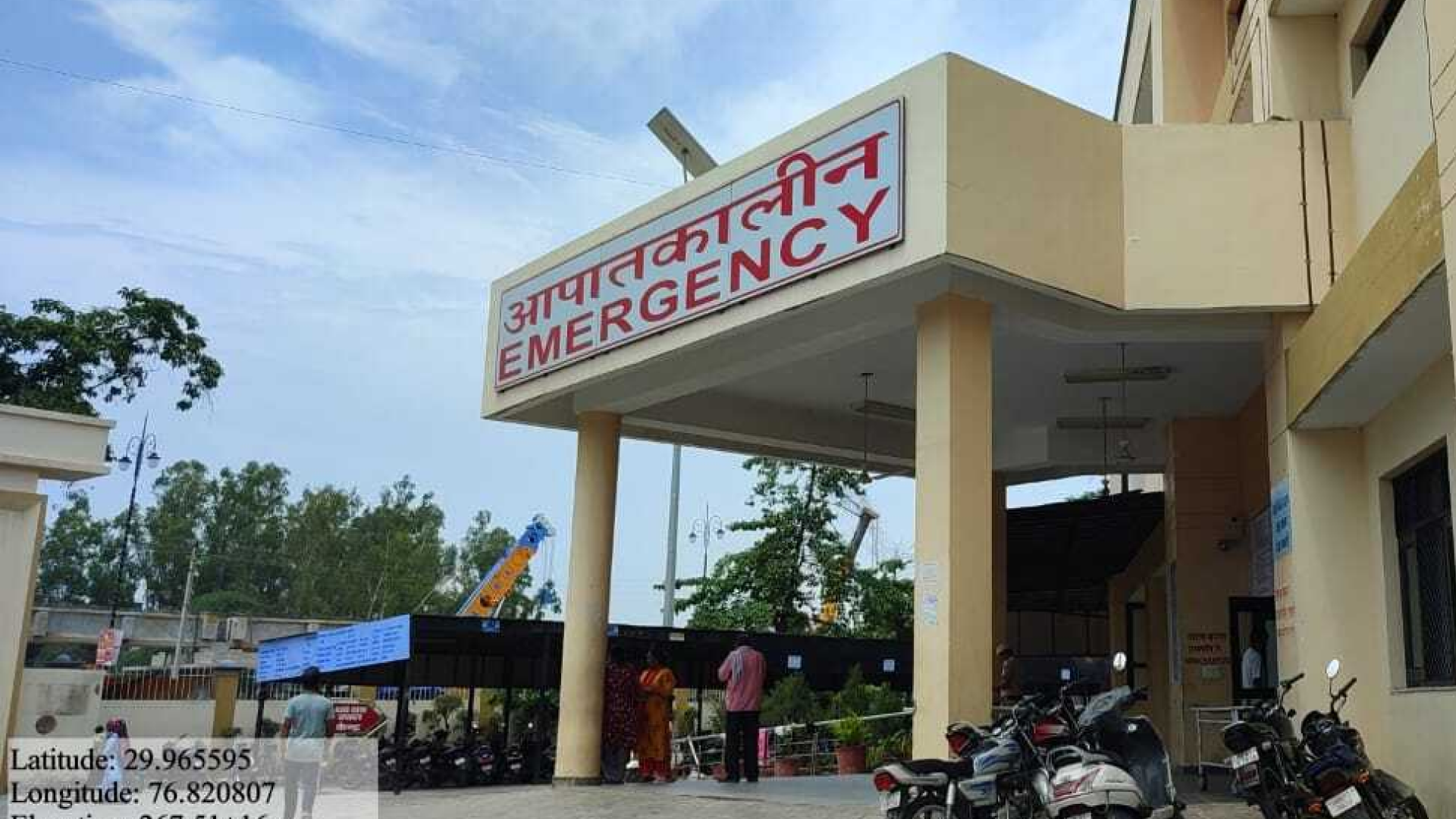
The survey involved collecting precise spatial location data (X, Y) of existing centers using DGPS instruments and capturing photographs to assess the condition of the buildings and the current situation of each center. Data was collected on various attributes, such as manpower, services, infrastructure, and equipment availability. 

This information was then attributed to the respective center locations on Land Use & Land Cover Base Maps and Street networks with different categories. The hierarchy of health centers and the services they provided were also mapped. Health facilities at district and sub-district levels, Community Health Centers, Primary Health Centers, Ayush Facilities, Wellness Centers, and Medical Colleges were mapped.
 

The following attributes were mapped:

  • Infrastructure
  • Services
  • Workforce
  • Equipment

A comparison with IPHS guidelines was conducted to evaluate the existing resources and restructure the infrastructure for maximum catchment in the area.

GIS Network analysis was performed to set threshold cutoffs for distance and travel time, indicating the physical accessibility of health centers. The street infrastructure in the area played a crucial role in augmenting the reach of health services, making medical support easily accessible to patients.

Additionally, GIS was utilized to propose priority centers or areas (PPA) based on spatial population distribution, distances, existing center locations, and transport facilities in the area. This allowed for reliable analysis of the existing health infrastructure’s capacity to provide physical access to specific health services.

Health Centers Accessibility Analysis without Road Network
Health Centers Accessibility Analysis with Road Network

Esri India’s Web Application, developed using ArcGIS highlighted:

  • The map distribution of centers
  • Facilities available at each center and overburden status (in Pie Chart)
  • Population catered by each type of center in Bar Chart 


GIS Gap Analysis also provided recommendations about centers to be opened or elevated. The blue dots are  proposed health centers.
 

The GIS-based system enabled the Haryana Health Department to adopt a data-driven approach for managing healthcare systems, improving accessibility, equity, and efficiency. It also allowed them to forecast future healthcare needs and respond proactively to emerging health challenges. The application enhanced decision-making, resource distribution, and service delivery at the state level.
Mr. G.V. Sreeramam
CEO, NeoGeoInfo Technologies


To download the PDF version of this article, click the button below.

Download PDF

Read More Articles

  • GIS for Agri-Resilience

    GIS for Agri-Resilience

    India is one of the major players in the agriculture sector worldwide, and it is the primary source of livelihood for ~45% of the country’s population. The sector plays a major role in supporting livelihoods and ensuring food security for millions.

  • HARSAC Harvests Success: Groundbreaking  Agri Reforms Mapped with ArcGIS

    HARSAC Harvests Success: Groundbreaking Agri Reforms Mapped with ArcGIS

    Haryana Space Applications Centre (HARSAC) has developed and deployed a Geospatial Technology-based Crop Management Solution to address challenges in agricultural management.

  • GIS in education

    Technology-enabled Agriculture Education: UAS, Raichur

    The mission of the University of Agricultural Sciences (UAS), Raichur is to generate quality human resources in the area of agriculture and allied disciplines, generate cutting-edge competitive technologies.

  • research paper image

    GIS-based Groundwater Resources and Demand Estimation in Ayad River Basin

    Groundwater plays a critical role in meeting the water demands for domestic and agricultural purposes in Rajasthan, India. As a semi-arid region with limited surface water resources, the state heavily relies on groundwater to fulfill its water needs (Chinnasamy et al., 2015).

Previous
Next