PARTNER SHOWCASE

Advancing the SDGs: Esri India and Emitech Infosystems Supporting Tripura’s Development Vision

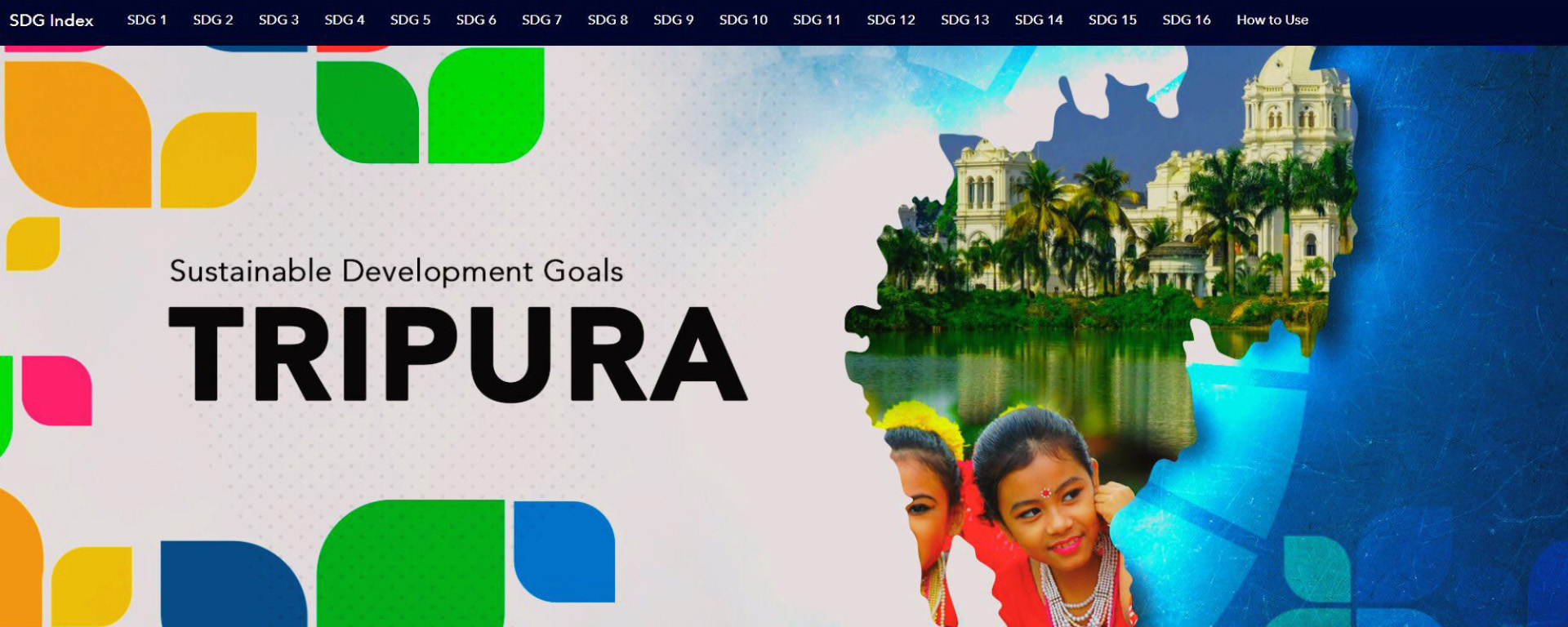
The IT vision for Tripura State involves the realization of a new information regime supporting good governance, sustainable development, and citizen empowerment by offering GIS based decision support services for governance, private enterprise, citizens, and maintaining state-wide, standardized, seamless, and most current GIS-based information for efficient decision support. 

Under this vision, the IT Department of Tripura State envisaged implementing a GIS-based web platform that acts as a single window gateway for all geospatial requirements of the State SDG. It brings standardization and convenience to senior executives, department users, other stakeholders, and citizens by providing a simple-to-use, device-independent platform for accessing maps & apps integrated with MIS data and GIS tools for various DSS requirements. The dynamic dashboards, integrated with real-time data from line departments, aid in efficient SDG status monitoring and decision support.

ArcGIS Enterprise-based State SDG GeoHub

Developed by Esri India and Emitech Infosystems collaboratively, the Tripura SDG GeoHub (https://sdg.tripura.gov.in) serves as a centralized platform for monitoring, evaluating, and sharing the state’s progress toward achieving  the Sustainable Development Goals (SDGs). Designed to promote transparency and foster collaborative governance, the portal enables data-driven decision-making for government departments while empowering citizens with actionable insights into development initiatives. 

The State SDG GeoHub Enables:

Sharing of open data: Data is vital to decision-making. Whether you are choosing a neighborhood to live in, curious about city projects, or opening a new business, having information you can trust is essential. With GeoHub, organizations can share their authoritative data so that the community can make better decisions. 

Better collaboration: GeoHub makes it easy to create teams comprising staff, external community members, or both. You can invite trusted members of the community to collaborate with your organization, which increases the staff’s ability to solve problems.
 

Concrete action: Initiatives can drive engagement by giving community members a goal to rally around as well as a focused way to participate. Presenting information via charts, maps, and stories makes it easier for everyone to have a shared understanding of the goal, which can pave the way to action.

Comparative analysis: The portal allows users to compare the performance of multiple districts or SDG goals. This feature is useful for identifying trends and areas that need focused intervention to improve SDG outcomes.

Using the State SDG GeoHub, the department has been able to:

  • Manage & update SDG parameters & geospatial contents.
  • Access a set of common basemaps, tools, services, and live feeds.
  • Create maps, apps, and dashboards.
  • Share maps and apps with others inside or outside the departments for analysis.
  • Form groups to collaborate on Sustainable Goals or common activities.

Key Highlights of Tripura State SDG GeoHub

  • An authoritative and living GIS portal for all SDG-related information.
  • Dashboards with the status of various initiatives, the relevant state data, and integration with program performance and local demographic data.
  • Seamless data access, data collection, integration, planning, analysis, and decision support
  • Advanced analytics for better planning and decision making.
  • Citizen centric GIS enabled apps for data capture.
  • Thematic maps and apps that outline the status of SDG impact across various segments.
  • Open data portal for SDG-related information to drive inclusive participation by stakeholders, including departments, academia, NGOs, private organizations, and citizens, for awareness, developing apps/ decision making.
  • Apps for driving larger awareness about specific SDG goals for the state.

The State SDG GeoHub acts as a single gateway and provides a collaborative platform to facilitate and coordinate the exchange and sharing of geospatial data, services, and apps among different stakeholders.

Conclusion

The Tripura SDG GeoHub is a vital tool for fostering accountability, driving informed policymaking, and engaging citizens in the state’s development journey. By leveraging the portal’s capabilities, stakeholders can collectively work towards achieving the Sustainable Development Goals in Tripura. 


To download the PDF version of this article, click the button below.

Download PDF

Read More Articles

  • GIS for Agri-Resilience

    GIS for Agri-Resilience

    India is one of the major players in the agriculture sector worldwide, and it is the primary source of livelihood for ~45% of the country’s population. The sector plays a major role in supporting livelihoods and ensuring food security for millions.

  • HARSAC Harvests Success: Groundbreaking  Agri Reforms Mapped with ArcGIS

    HARSAC Harvests Success: Groundbreaking Agri Reforms Mapped with ArcGIS

    Haryana Space Applications Centre (HARSAC) has developed and deployed a Geospatial Technology-based Crop Management Solution to address challenges in agricultural management.

  • GIS in education

    Technology-enabled Agriculture Education: UAS, Raichur

    The mission of the University of Agricultural Sciences (UAS), Raichur is to generate quality human resources in the area of agriculture and allied disciplines, generate cutting-edge competitive technologies.

  • research paper image

    GIS-based Groundwater Resources and Demand Estimation in Ayad River Basin

    Groundwater plays a critical role in meeting the water demands for domestic and agricultural purposes in Rajasthan, India. As a semi-arid region with limited surface water resources, the state heavily relies on groundwater to fulfill its water needs (Chinnasamy et al., 2015).

Previous
Next