Partnerships with industry leaders like Esri India have enabled access to advanced geospatial tools, internships, and real-world datasets. This fosters applied learning and gives our students exposure to industry-grade challenges and solutions, enhancing their employability and innovation potential.
GIS IN EDUCATION
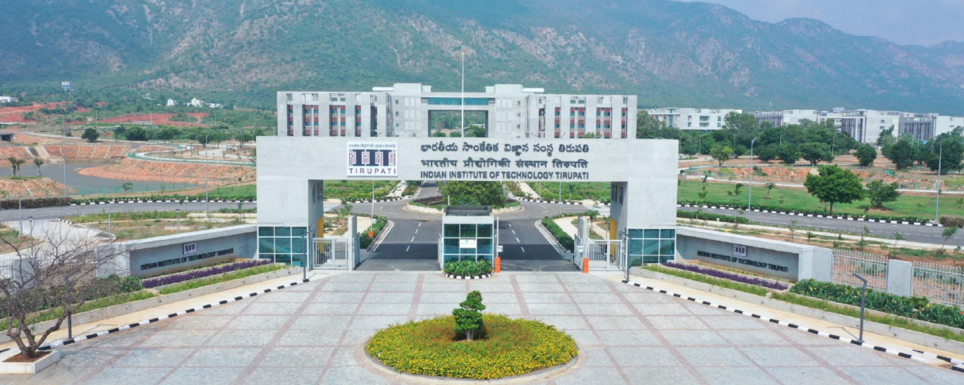
IIT Tirupati: Developing a New Generation of GIS Professionals
Table of contents
Introduction
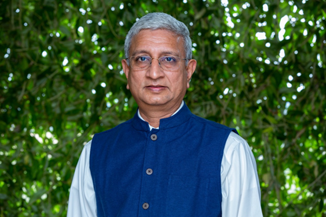
In a compelling conversation with Prof. K. N. Satyanarayana, Director of IIT Tirupati, we explored how the institute is reimagining GIS education to meet the evolving demands of the geospatial industry. With a strong emphasis on integrating foundational knowledge with cutting-edge technologies such as AI, digital twins, and GNSS, IIT Tirupati is nurturing a new generation of GIS professionals. As Prof. Satyanarayana shares insights into the institute’s interdisciplinary approach, industry collaborations—including with Esri India—and visionary initiatives like the Geo-Intel Lab and TIH, it becomes clear that IIT Tirupati is setting new benchmarks in applied geospatial learning and innovation.
How has the GIS/Geospatial curriculum at IIT Tirupati evolved to reflect the dynamic nature of geospatial technologies and their real-world applications?
At IIT Tirupati, the GIS and geospatial curriculum has evolved to include not just foundational theories but also emerging technologies like AI, remote sensing, digital twins, and GNSS. Through our Technology Innovation Hub (TIH) on Positioning and Precision Technologies, we ensure our curriculum aligns with national priorities and global trends.
In what ways does your teaching approach combine theoretical grounding with practical, problem solving skills that are essential for future GIS leaders?
Our teaching integrates strong theoretical underpinnings with hands-on problem-solving. Students engage in real world projects, hackathons, and system-level modelling through TIH-led initiatives, equipping them to become future GIS leaders with both depth and application-driven skills. A key enabler of this approach is the Geospatial Intelligence and Applications Laboratory (Geo-Intel Lab), which serves as a live learning environment where students work with real geospatial datasets, develop solutions for digital governance, and contribute to ongoing research and innovation projects. This combination of classroom learning and lab-based application ensures that students graduate not only with technical knowledge, but with the problem-solving mindset required to lead in the evolving GIS landscape.
How does collaboration with industry partners like Esri India enable students to have more applied learning opportunities in GIS?
Partnerships with industry leaders like Esri India have enabled access to advanced geospatial tools, internships, and real world datasets. This fosters applied learning and gives our students exposure to industry-grade challenges and solutions, enhancing their employability and innovation potential.
What role do you think GIS can play in advancing social and environmental justice, and how do you incorporate this into your teaching?
We view GIS as a transformative tool for equitable resource distribution, disaster management, and climate resilience. Our teaching encourages students to address societal challenges by incorporating real-world case studies and projects focused on sustainable development and governance.
What is your long-term vision for GIS education?
Our vision is to make IIT Tirupati a national leader in geospatial education and innovation, leveraging the TIH as a platform to integrate academia, industry, and governance. Through initiatives like Vidya GIS, we aim to cultivate spatial thinking from the school level to advanced professional training, creating a continuous learning pipeline. The Geo-Intel Lab at TIH, IIT Tirupati serves as the nucleus for applied geospatial research and capacity building, supporting hands-on learning, interdisciplinary collaboration, and technology translation. We aim to develop a new generation of GIS professionals equipped to drive impactful, data-driven solutions across sectors.
How can academic institutions stay ahead of technological and industry developments to ensure they are preparing a workforce equipped for the demands of the future?
Through continuous engagement with industry, R&D, and innovation programs under TIH, we keep our curriculum agile. Regular updates, advisory inputs, and co-development of content with industry partners ensure our students are future-ready.
What advice would you give to students who aspire to become thought leaders in the geospatial field?
Stay curious, embrace interdisciplinary learning, and engage deeply with real-world problems. Leverage platforms like TIH to innovate, collaborate, and contribute meaningfully to the geospatial domain. The Geospatial Policy 2022 provides a tremendous opportunity to unleash the potential of building accurate and robust geospatial models and applications across diverse sectors.
At IIT Tirupati, TIH offers a unique ecosystem for students to nurture such growth. Through dedicated initiatives like the Geo-Intel Lab, students are empowered to build geospatial applications that address critical needs in digital governance, infrastructure, and public good. In parallel, TIH is also establishing a network of Positioning, Navigation, and Timing (PNT) Labs across the country—enabling hands-on exposure to cutting-edge geospatial technologies including NavIC, GNSS, and precision tracking.
These labs are not just spaces—they are launchpads. By engaging deeply with these platforms, students can transform ideas into impactful solutions and shape the future of geospatial science and technology in India.

To download the PDF version of this article, click the button below.
Read More Articles
-
 Cover Story
GIS Mapping a Better Future
GIS provides a platform to store, manage, and analyze geospatial data to help make informed decisions in a variety of fields.
-
 Case Study
MCD Achieves Effective Governance with ArcGIS
The MCD GIS citizen portal is a step towards better governance taken by the Municipal Corporation of Delhi to allow the citizens of Delhi to avail various services through an easy-to-use interface along with geo-referential data.
-
 GIS in Education
Elevating the Standards of Professional Education in GIS
In the heart of Rajasthan, R-CAT (Rajasthan Centre of Advanced Technology) emerges as a beacon of innovation and knowledge. Established by the Government of Rajasthan, it’s not just an institute- it’s a gateway to the future.
-
 Partner showcase
Enabling Suez to Achieve Optimum Efficiency in Water Projects
Suez Group has been active in the Indian water and wastewater market since 1978 and established an Indian subsidiary in 1986. Suez uses Esri products to enable comprehensive study and planning through GIS mapping, field surveys, and door-to-door surveys.
Previous
Next