reasearch paper banner image

CUSTOMER SPEAK

Gaining Better Produce with GIS: Higher Accuracy in Soil Health and Crop Yield Management

Introduction

Geographic Information System (GIS) has significantly transformed agricultural practices, particularly in soil health and crop yield management. By integrating GIS technology with farming practices, farmers are able to achieve more efficient and precise management, ultimately improving both the quality and quantity of their produce. 

In a conversation with Dr. Jaya N. Surya, Principal Scientist and Head, ICAR – NBSS & LUP, Regional Centre, Delhi, we explored how digital soil mapping using GIS is benefitting planners, farmers, stakeholders, and developmental agencies.

Dr. Jaya N. Surya, Principal Scientist and Head, ICAR – NBSS & LUP, Regional Centre, Delhi

What are the core functions of ICAR and the National Bureau of Soil Survey & Land Use Planning?

ICAR’s main mandate is to maintain land resource inventories and to take care of soil health and its management, and the National Bureau of Soil Survey & Land Use Planning’s mandate is to undertake soil survey and mapping, its classification, and correlation for the identification of constraints and potential. On the basis of this identification, we can manage and monitor soils and inform farmers how to utilize the land resources in a sustainable manner.

For what purposes are you using GIS?

We use GIS for digital soil mapping. For digital soil mapping, we analyze the terrain parameters, and on these attributes/ parameters, we prepare the base maps for soil surveys. Geospatial techniques are very useful for soil surveys, especially for large areas. They are cost and time effective. Using geospatial techniques, we can generate detailed sitespecific information and identify constraints and potentials, which prove very useful for creating detailed soil and other thematic maps.

What are the benefits of using GIS?

The National Bureau of Soil Survey’s main mandate is soil survey and mapping. In digital soil mapping, we interpret all the digital terrain parameters. On the basis of these parameters, we characterize the soil properties and create soil maps. As part of our land resource inventory program, we create regional maps as well as various thematic maps. These region-specific maps are very useful for planners, farmers, stakeholders, and developmental agencies.

How do farmers benefit from the use of GIS?

We are generating datasets for different regions. The farm-level data benefits farmers. We run many projects for sustainable land use planning, and land evaluations for crop suitability for particular regions including cash crops that are beneficial for farmers. We in the Bureau, are also working on watershed development programs such as reward and LRI-PMKSY-2.0 In these programs, soil and watershed development plans are generated and soil and water conservation measures for every farm in a particular region are suggested. This is beneficial for farmers and stakeholders.

We also develop detailed soil information maps. We are distributing land resource inventory cards. In those cards, we provide information about 12 important parameters of soil along with other soil characteristics and morphological features and give a range of that (low, medium, high). According to those low, medium, high parameters, we suggest the nutrient requirement of particular farms. This is very important information for the farmers as it helps them manage and monitor the fertilizer dosage and maintain soil health and crop yield. All these data are interpreted on the GIS platform in a short period of time and with utmost accuracy.
 

To download the PDF version of this article, click the button below.

Download PDF

Read More Articles

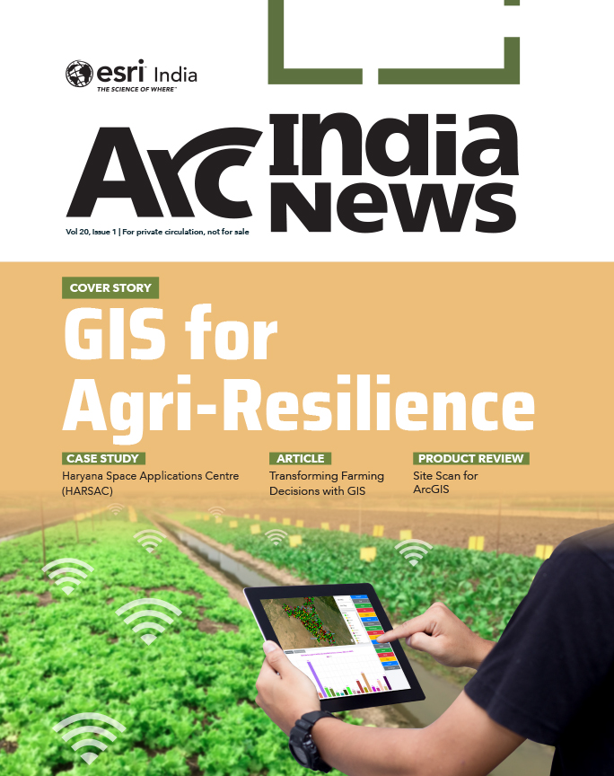
  • GIS for Agri-Resilience

    GIS for Agri-Resilience

    India is one of the major players in the agriculture sector worldwide, and it is the primary source of livelihood for ~45% of the country’s population. The sector plays a major role in supporting livelihoods and ensuring food security for millions.

  • HARSAC Harvests Success: Groundbreaking  Agri Reforms Mapped with ArcGIS

    HARSAC Harvests Success: Groundbreaking Agri Reforms Mapped with ArcGIS

    Haryana Space Applications Centre (HARSAC) has developed and deployed a Geospatial Technology-based Crop Management Solution to address challenges in agricultural management.

  • GIS in education

    Technology-enabled Agriculture Education: UAS, Raichur

    The mission of the University of Agricultural Sciences (UAS), Raichur is to generate quality human resources in the area of agriculture and allied disciplines, generate cutting-edge competitive technologies.

  • Enabling Suez to Achieve Optimum Efficiency in Water Projects

    Enabling Suez to Achieve Optimum Efficiency in Water Projects

    Suez Group has been active in the Indian water and wastewater market since 1978 and established an Indian subsidiary in 1986. Suez uses Esri products to enable comprehensive study and planning through GIS mapping, field surveys, and door-to-door surveys.

Previous
Next