Article banner image

ARTICLE

Transforming Farming Decisions with GIS

Introduction

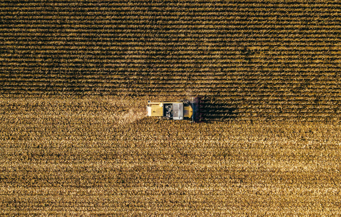
The agriculture sector is one of the most important threads in the socio-economic fabric of the Indian economy. The sector’s role extends beyond economic contributions, not only ensuring food security and stability for the nation but also posing as the primary source of livelihood for around 55% of India’s population. This being acknowledged, it is only wise to strengthen this crucial pillar of support, and the answer lies in using technologies like Geographic Information Systems (GIS) to bring digital transformation in agriculture. 

Indo ArcGIS facilitates stakeholders to collect, maintain, analyze, and share agriculture data and make more informed decisions at all stages of the agricultural lifecycle. Indo ArcGIS allows the analysis of all field data in one centralized system. It enables integration of Earth observations, imagery, field data, and real-time data streams to improve efficiency, profitability, and sustainability.

A Crop Management Solution developed using Indo ArcGIS, implemented by the Haryana Space Applications Centre (HARSAC), is enabling the organization to effectively govern the full lifecycle of agricultural production in the State of Haryana. By removing demand-supply gaps and minimizing errors in yield estimations and procurement predictions, the Solution is fostering a culture of sustainable agriculture along with bringing substantial savings to the State. 

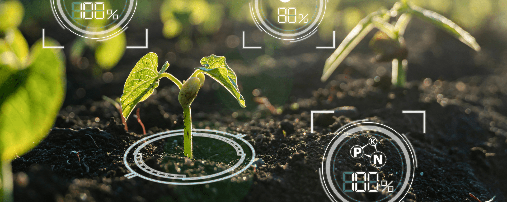
From soil and nutrient analysis to sustainable farming, GIS has a vital role to play in every facet of agriculture.

Agricultural Mapping

Accurate mapping of geographic and geologic features of farmlands enables scientists and farmers to create more effective and efficient farming techniques. Suitability analyses, facilitated by GIS, help the farmers determine the optimal crops for each plot of land, based on its soil, climate, and social conditions and conceptualize the best practices at all stages of the farming season. GIS offers vital insights related to crop health, soil conditions, and weather patterns in real-time. GIS allows the stakeholders to develop a holistic approach to precision farming. It helps in creating maps and dashboards that integrate important variables such as soils, irrigation, yield, production costs, profit, and compliance data.

Crop Yield Prediction

Accurate yield predictions are vital for food security and financial planning. Using GIS, predictive models can be developed to forecast crop yields based on historical data and current environmental conditions. Machine learning algorithms and statistical techniques are often applied to analyze spatial relationships and make accurate predictions.

Crop Health Monitoring

Instead of manual inspections, GIS enables remote monitoring of crop health using satellite imagery, providing insights about humidity, temperature, and overall growth. This helps identify areas needing attention. GIS allows farmers and agronomists to create detailed maps of fields, depicting variations in crop health indicators such as vegetation indices, chlorophyll content, and thermal imagery. These maps help visualize spatial patterns of crop health across large agricultural areas.

Insect and Pest Control

By monitoring changes in crop health indicators over time, GIS enables early detection of stress factors such as nutrient deficiencies, water scarcity, diseases, and pest outbreaks. Early identification allows farmers to take timely corrective actions, preventing potential yield losses and reducing the need for extensive interventions later in the season.

Irrigation Control

GIS facilitates the development of irrigation schedules tailored to specific field conditions and crop water needs. By analyzing spatial data on soil moisture, rainfall patterns, and evapotranspiration rates, GIS helps farmers and water managers optimize the timing, duration, and frequency of irrigation events to minimize water waste and maximize crop yields. 

Water Quality Management

GIS assists in monitoring water quality parameters such as salinity levels and contamination risks. By analyzing spatial data on soil types, land use practices, and proximity to sources of pollutants, GIS helps in identifying areas vulnerable to water quality degradation and implementing measures to protect irrigation water sources. As much as 70% of good water is used in agriculture, saving on this water use can help in addressing water stress. Wise usage of water can be made possible by adopting precision technology.

Crop Insurance and Loss Assessment

In periods of catastrophic events like floods, heavy rainfall, drought, etc., GIS can be used to determine exactly how much of a given crop has been damaged and the progress of the remaining crop on the farm. GIS can generate crop condition and distribution analytics, leading to faster loss adjustment and payout to the farmers. In the crop insurance business, highresolution imagery plays a key role in speeding up the claim process. Using Indo ArcGIS and image processing software like ENVI, farmers and insurance providers can achieve the benefits of faster claim processes and payouts, visibility on in-season crop conditions at different time intervals fostering risk analysis and decision making, crop classification and crop risk analysis, acreage estimation of different crops, identification of inundation area and exposure monitoring, reduced operational and data processing cost, and more.

Conclusion

The list is endless when it comes to the benefits of using GIS in agriculture. Indo ArcGIS analytics for agriculture empowers farmers to optimize workflows, enhance resource management, and boost profitability. As the need to increase food production to meet global demands persists, incorporating GIS in farming is imperative. The value of GIS software in the agriculture market is projected to be approximately USD 2.61 billion by 2029. With advanced mapping, high-resolution imagery, and AI, GIS solutions are set to revolutionize farming practices, helping to feed the world sustainably. Integrating GIS with IoT sensors and drones will provide rapid and improved real-time information. This information combined with historical data, and emerging technologies such as AI will drive informed decision-making to leverage best-in-class farming practices, thereby creating a highly productive environment for both the producers and consumers.


To download the PDF version of this article, click the button below.

Download PDF
  • GIS for Agri-Resilience

    GIS for Agri-Resilience

    India is one of the major players in the agriculture sector worldwide, and it is the primary source of livelihood for ~45% of the country’s population. The sector plays a major role in supporting livelihoods and ensuring food security for millions.

  • HARSAC Harvests Success: Groundbreaking  Agri Reforms Mapped with ArcGIS

    HARSAC Harvests Success: Groundbreaking Agri Reforms Mapped with ArcGIS

    Haryana Space Applications Centre (HARSAC) has developed and deployed a Geospatial Technology-based Crop Management Solution to address challenges in agricultural management.

  • GIS in education

    Technology-enabled Agriculture Education: UAS, Raichur

    The mission of the University of Agricultural Sciences (UAS), Raichur is to generate quality human resources in the area of agriculture and allied disciplines, generate cutting-edge competitive technologies.

  • Enabling Suez to Achieve Optimum Efficiency in Water Projects

    Enabling Suez to Achieve Optimum Efficiency in Water Projects

    Suez Group has been active in the Indian water and wastewater market since 1978 and established an Indian subsidiary in 1986. Suez uses Esri products to enable comprehensive study and planning through GIS mapping, field surveys, and door-to-door surveys.

Previous
Next