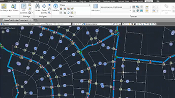
ArcGIS for AutoCAD
AutoCAD and ArcGIS working seamlessly together.
Esri supports many data formats—those that are standards (such as KML and GML), and those that are so widely used people consider them to be standards. We build the ArcGIS platform to work directly with multiple data formats. The ArcGIS Interoperability Extension enables extract, transform, and load (ETL) for data formats and data models.
Esri ensures that you can access, use, and store GIS data in the formats you already use.
Learn more about Spatial Data Management.
ArcGIS supports all the common feature data formats, including:
Geodatabases
Spatial databases
Shapefiles
CAD
JSON
GeoJSON
XML
Web Layers
ArcGIS can expose the spatial data hidden in your tabular data, including:
dBase
Microsoft Excel
Access
CSV
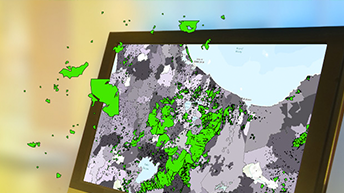
ArcGIS supports 200+ raster and 3D data formats for:
Satellite imagery
Aerial photography
Lidar data
JPEG
TIFF
GRIB
HDF
netCDF
LandSat
Worldview
LAS
ArcGIS supports many web and real-time sensors, such as:
MEA
Sierra Wireless RAP
Trimble TAIP
Instagram
Common Alerting Protocol (CAP)
RSS
Twitter
ArcGIS for AutoCAD

SAP HANA
ArcGIS Data Interoperability Extension

ArcGIS Maps for Office

ArcGIS Maps for SharePoint

ArcGIS Maps for IBM Cognos
Get answers for your product, industry or technical inquiries
Share your details with us
Talk over the phone