Skip to Content
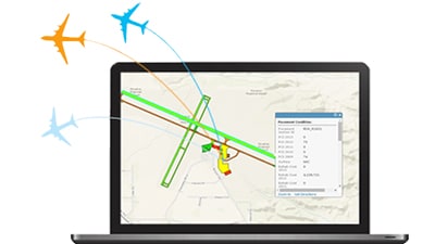
  • ArcGIS for Aviation: Airports

    Use automated tools for airspace analysis and planning to meet regulatory requirements.
    Learn more
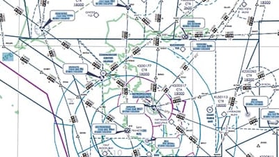
  • ArcGIS for Aviation: Charting

    Create, maintain, and publish aeronautical charts and data products.
    Learn more
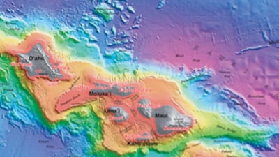
  • ArcGIS for Maritime: Bathymetry

    Get a comprehensive view of your underwater data assets.
    Learn more
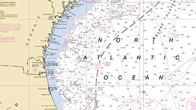
  • ArcGIS for Maritime: Charting

    Create, maintain, and publish nautical charts and data products.
    Learn more
  • Esri Defense Mapping

    Efficiently manage defense specification-compliant products.
    Learn more
  • Esri Production Mapping

    Standardize and optimize your GIS production.
    Learn more
  • Esri Roads and Highways

    Easily manage, visualize, and analyze transportation networks.
    Learn more
  • ArcGIS Pipeline Referencing

    Create, manage, and optimize pipeline route and event data.
    Learn more
Previous
Next
opens in new window