Apps for the Office
Make better decisions with geographic insight
Whether you’re an operations manager who needs to see the location of assets or a market analyst interested in understanding consumer profiles in a targeted region, you can use ArcGIS Apps for the Office to make decisions that save money and time. Visualize your data in a geographic context and gain location-based insights that you would otherwise miss.
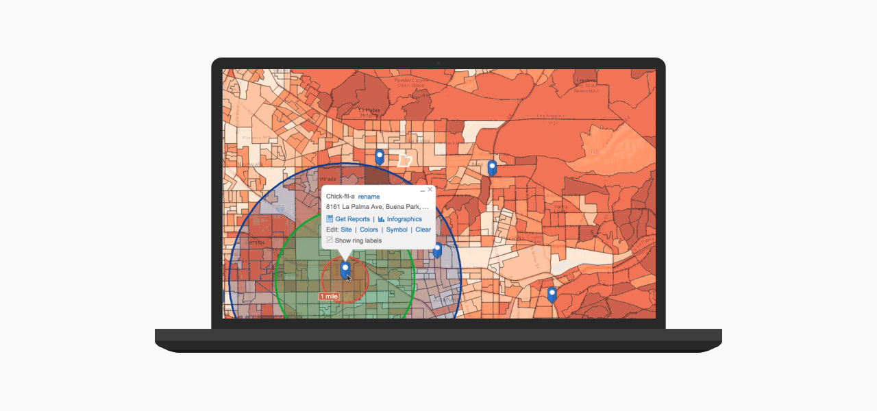
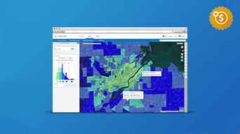
Find the right site for your business
See
Map your target customers, sales territories, and potential sites. Combine them with demographic, lifestyle, and spending data.
Understand
Assess market feasibility and consumer profile for your potential sites. Gain the business insights you have been missing.
Decide
Find the sites that match your target market criteria and are most likely to be profitable.
Chick-fil-A ensures reliable growth with location-based analysis. [PDF]
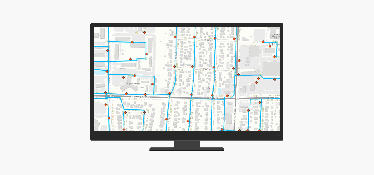
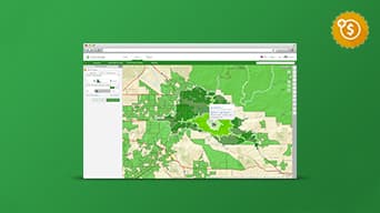
Optimize your asset management
See
Map your assets, network, infrastructure, and work orders to learn how they are interconnected. Augment with weather, topography, satellite imagery, and field data.
Understand
Know more about asset performance and personnel productivity. For example, identify customers affected by a broken water-line and trace the assigned work order.
Decide
Get a real-time picture of asset performance, maintenance history, and inspection plans. Improve resource planning and reduce operating costs for your enterprise asset management.
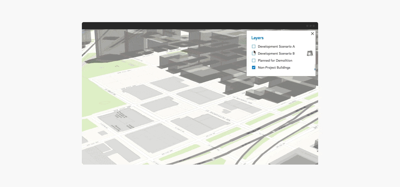
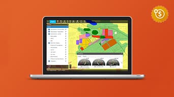
Review and evaluate planning scenarios
See
Create realistic context and visualize your urban plans, architecture, and designs in 3D.
Understand
Understand where a proposed building blocks the view, casts shadows, and reflects heat.
Decide
Determine how a building proposal and its alternative scenarios fit into your city’s overall vision.
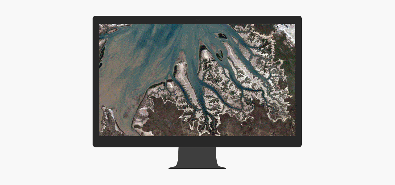
Monitor land use change
See
From understanding forest destruction and habitat loss, to disaster response and environmental impact studies, you get the best visual context from satellite and drone-captured imagery.
Understand
Visually compare your area of interest over time and quantify land use change. Perform analysis to extract more meaning. Use meta data to know more about the imagery.
Decide
Assess the impact of environmental changes and urban growth. Improve forestry management and operations. Know where to send emergency response crews. Manage vegetation encroachment.
“ArcGIS Speeds Imagery Processing for South Carolina Air National Guard in Times of Disaster”
Learn more
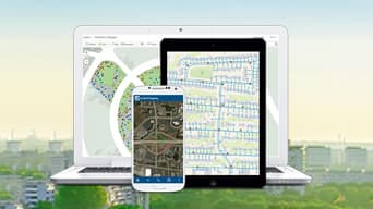
Find the right app
Start making better decisions using any of these apps. Most of them come included with ArcGIS.
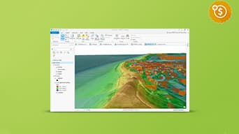
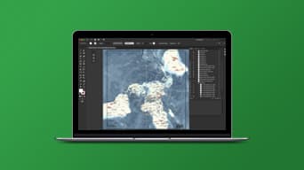
ArcGIS Pro
The latest addition to ArcGIS for Desktop. Create 2D and 3D maps. Edit and analyze data faster using a new, high-performance 64-bit architecture.
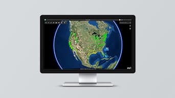
ArcGIS Earth
Explore the world with this interactive globe. Display 2D and 3D map data, including KML, and sketch placemarks to understand spatial information
ArcGIS Maps for Power BI
Microsoft Power BI users can tap into the power of geospatial analytics, access new map themes, demographic data, and map visualizations.
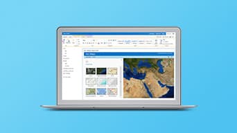
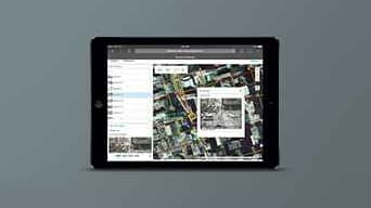
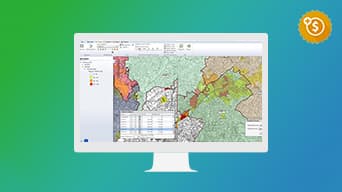
ArcGIS Maps for Office
Microsoft Excel and PowerPoint users can now ask location-related questions of their data. Make smarter decisions with new insights.
ArcGIS Business Analyst
Get location-based insight for market planning, site selection, and customer segmentation. Plus 15,000+ variables of market data.
ArcGIS Community Analyst
View policy impact to prioritize community projects or place new facilities. Use global data to create what-if scenarios and comparison reports.
GeoPlanner for ArcGIS
Create, analyze, and report on alternative planning scenarios in support of better, more informed decision making.
ArcGIS Maps for SharePoint
Turn lists or data into color-coded, point, clustered point, or heat maps. Enrich key business measures with demographic and Esri lifestyle data.

Esri CityEngine
The advanced 3D city design application for creating, editing, and sharing 3D building models and massive urban environments.
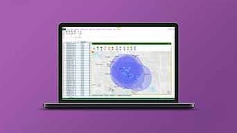
Operations Dashboard for ArcGIS
Get a real-time view and common operating picture. Add data feeds to events or daily operations. Integrate maps, charts, gauges, and histograms.

Drone2Map for ArcGIS
Streamline the creation of professional imagery products from drone-captured imagery for visualization and analysis in ArcGIS.
ArcGIS Maps for Adobe Creative Cloud
Design and communications professionals can choose from maps inside of Adobe’s design apps and access them as vector or raster layers.
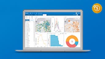
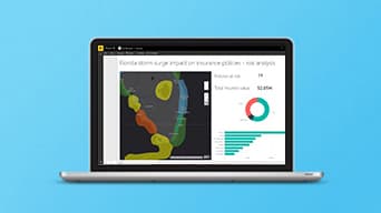
ArcGIS Insights
Interactively explore and analyze data from ArcGIS sources, Excel spreadsheets, big data and more, all in one experience.
Industry-Specific Apps
Jumpstart work with pre-configured apps for your industry. Choose from hundreds of focused apps to accomplish industry-specific workflows.
Esri Redistricting
A web-based solution for governments, advocates and citizens to create and share regulation-compliant redistricting plans.

Premium apps
Premium app. Requires an additional purchase.
Get in touch with us
Product Information
Get answers for your product, industry or technical inquiries
Contact Us
Share your details with us
Give us a call
Talk over the phone