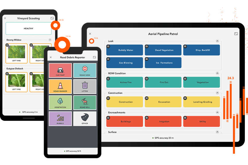
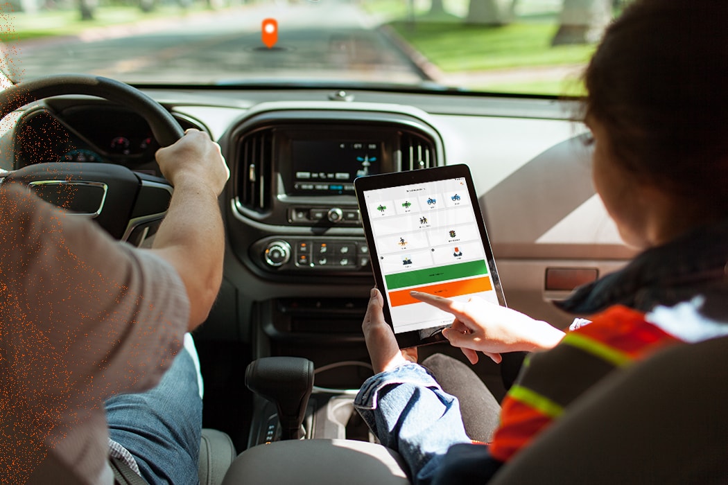
Skip to Content
ArcGIS QuickCapture

ArcGIS QuickCapture

The app for rapid data collection

Get started


ArcGIS QuickCapture is the fastest way to collect field observations. With this simple app, you can quickly record field observations from a moving vehicle while you scout locations, conduct aerial surveys, or assess damage. Send data back to the office for analysis in real time and eliminate time spent manually processing handwritten notes. ArcGIS QuickCapture is integrated with ArcGIS, so new data from the field can be used instantly for better decision-making.


Capture data with the touch of a button

Previous
Next

How it works

Download the app

Download the app

Works on Android, iOS, and Windows mobile devices. ArcGIS QuickCapture leverages the built-in GPS and camera on your smartphone or tablet.

Collect data while in a moving vehicle

Collect data while in a moving vehicle

Open the app and tap a button to use ArcGIS QuickCapture. No time is spent writing notes or finding GPS coordinates—the app knows where users are.

Analyze data

Analyze data

ArcGIS QuickCapture is integrated with your existing IT infrastructure and ArcGIS, so data transmits from the field instantly.

User Story

Combatting invasive species in Maryland

Our users are impressed. Now we can deliver data collection solutions quickly because it's so intuitive.

Craig Mackowiak

Maryland Department of Transportation

Read the story

Boost productivity, implement quickly

Previous
Next

Contact us to get started


Join our growing list of interested users and organizations.

Get in touch with us

Product Information

Get answers for your product, industry or technical inquiries

Request Product Information

Contact Us

Find our Esri India office nearest to you

Contact Esri India

Give us a call

Talk over the phone

1800-102-1918