Better space management
ArcGIS Indoors gives organizations the ability to properly define, allocate, and assign space to better support workplace operations, communication, and productivity.
Smart building management
Support facilities, workplace, operations, and maintenance workflows across your organization with indoor maps and apps.
ArcGIS Indoors gives organizations the ability to properly define, allocate, and assign space to better support workplace operations, communication, and productivity.
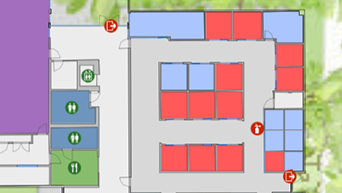
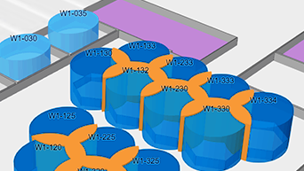
Organizations need the ability to coordinate the use of common spaces such as meeting rooms, collaboration spaces, or even shared work spaces like office hotels.
Employees need the ability to find assets while on the go, track assets as they move about the facility, report workplace issues with exact location, and maintain up-to-date inspection records.
ArcGIS Indoors can help managers make decisions to provide a safe work environment, ensuring social distancing and suggested capacity guidelines are being met.
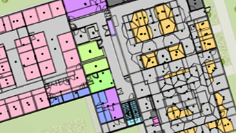
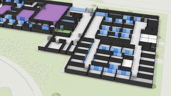
Combine your disparate CAD and/or BIM files and all facility and asset information and create a floor-aware indoor map.
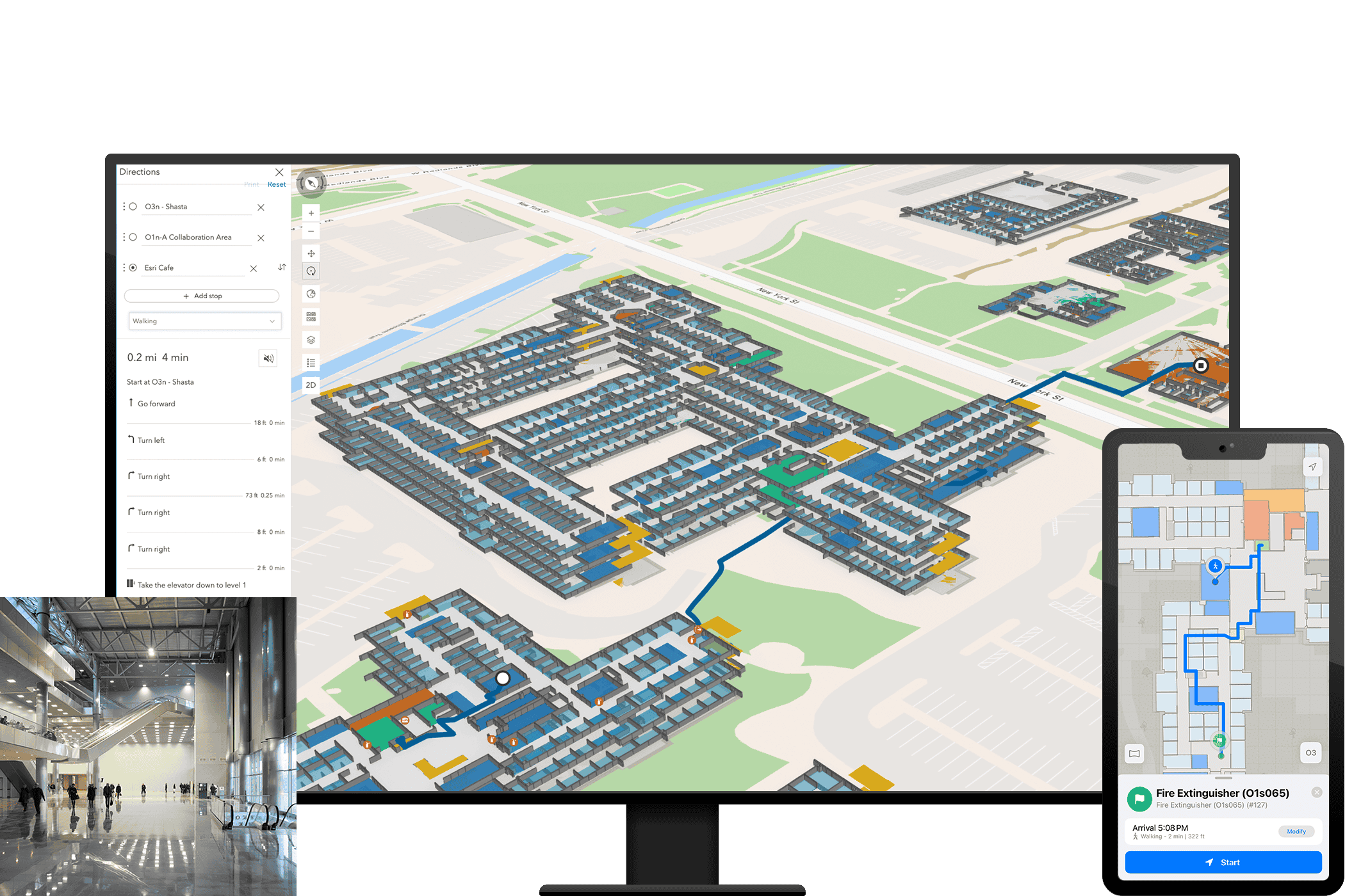
Create shareable 2D and 3D indoor maps for use by anyone in your organization, including visitors to your workplace.
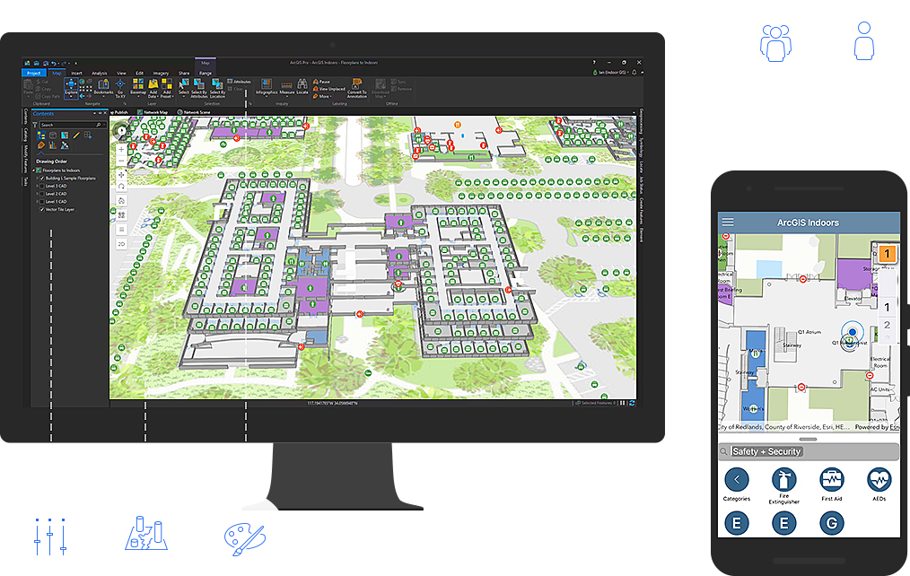
Empower employees with indoor maps and apps to locate amenities, find and book available workspace, navigate building, and report service issues.
Find answers and information about ArcGIS Indoors
Join our growing list of interested users and organizations.
Get answers for your product, industry or technical inquiries
Share your details with us
Talk over the phone