
ArcGIS 3D Analyst
An extension for ArcGIS Pro, ArcMap, and ArcGIS Enterprise
Visualize data in 3D for better understanding
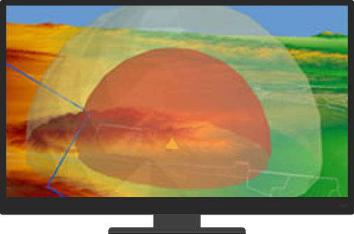
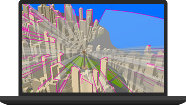
Evaluate the visual impact of proposed buildings on the wider cityscape or assess the visibility and safety of flight paths. Investigate the relationships between 3D features above and below the ground.
Conduct 3D analysis to get the right answers
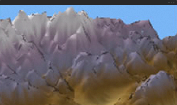
We live in a 3D world and many spatial questions can only be answered in 3D. ArcGIS 3D Analyst comes with true 3D analysis tools that can help you determine the contour, slope, or elevation of a region; the size of the shadow cast by a proposed building; or the geology beneath the surface of an area.
3D-enable geographic data for a whole picture
Quickly generate 3D master plans, and publish and share your 3D scenes with your organization or the public. You can communicate your ideas more effectively in 3D.
Contact us to get started
Join our growing list of interested users and organizations.
Get in touch with us
Product Information
Get answers for your product, industry or technical inquiries
Contact Us
Share your details with us
Give us a call
Talk over the phone