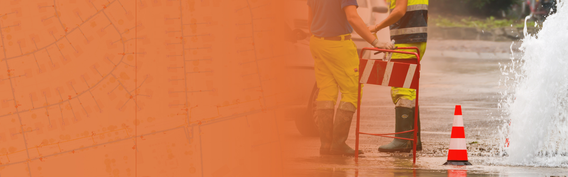
GIS Enabling Smart Water Systems
Network Management Approach for Water Utilities
Utilities need to manage assets, analyze data, and make data-driven decisions. ArcGIS empowers utilities to do this with a modern data model, out-of-the-box analytics tools, and easy-to-use maps and applications. It supports digital twins, provides data in real time, and makes sharing data across the enterprise easy.
This whitepaper will help you discover the ways which can enable your water utility with a modern spatial data platform that creates real business value across the water utility enterprise.