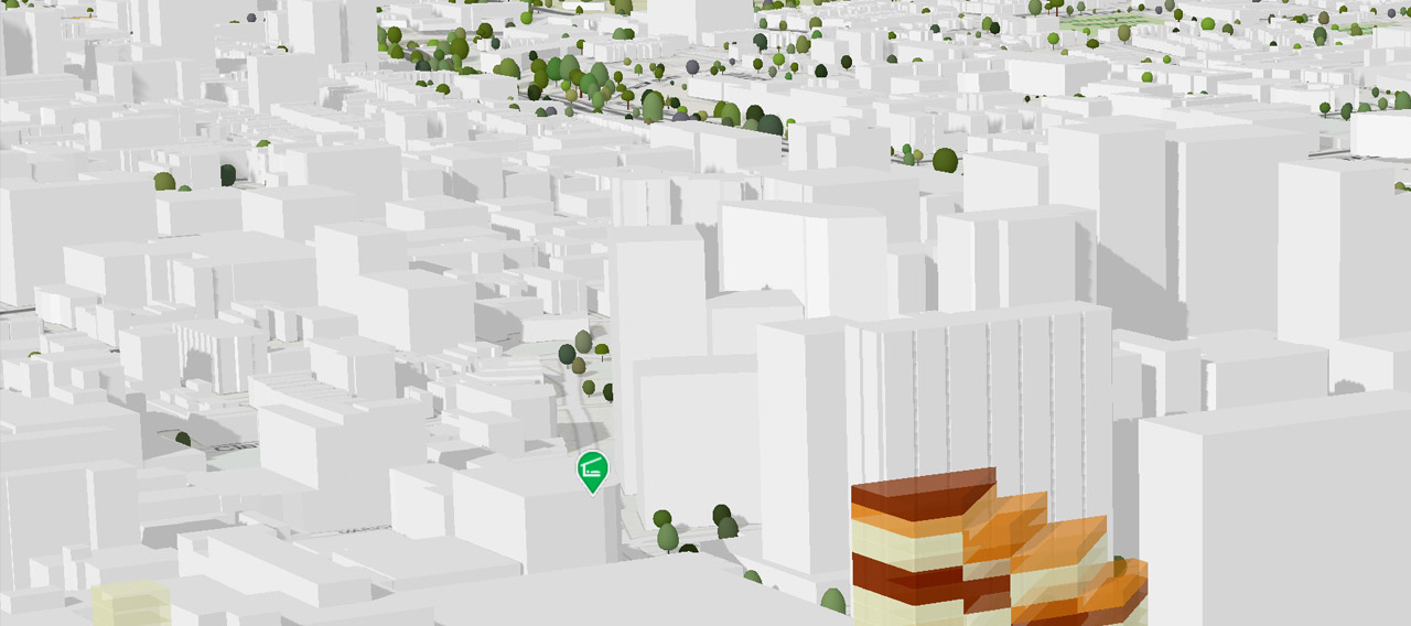
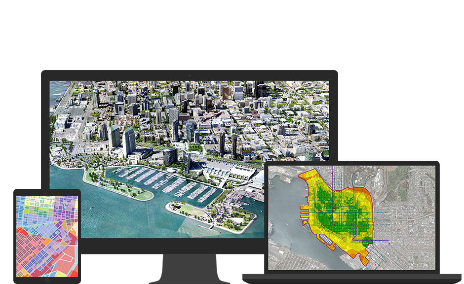
The most crucial information for formulation of Master Plan is an accurate and updated base map of the planning area, showing roads and building layouts, spatial extent of development and information on the use of each parcel of land etc. Preparation of base maps from Very High-Resolution Satellite (VHRS) Images and Geographic Information System (GIS) technology can be time and cost-effective solution.
Benefits:
- Standardization of the masterplan using common GIS-based data model.
- Scientific tool to create master plans.
- Platform to integrate the drone /UAV data, satellite data, fieldwork, analogue data/maps, public opinions and survey data.
- Flexibility: GIS helps to revise the plans as per the demand of the dynamic world.
- Multi layers: GIS enables the overlay of physical, demographic, manmade and socio-economic parameters over each other for analysis.
- Alternatives and solve land-use conflict; GIS offers alternative plans; solves conflict, and “What if” planning support.
- Public View: Current MPs have limited access to public wishes and stakeholders.
- Interaction between stakeholders: Government, town planners at state, district towns, consultants and the public through collaborative web GIS platform.

