Public Health Preparedness: A Geographic Approach
Stay a step ahead of disaster
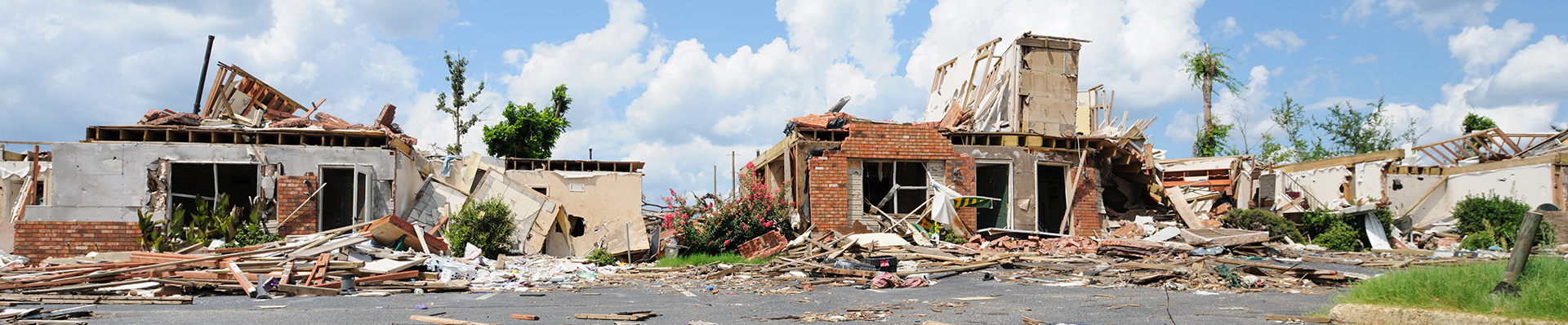
When disaster strikes, are you ready and able to act as quickly and as efficiently as possible? During emergencies, public health departments and crisis managers often find it difficult to take advantage of all the data available to them, especially when multiple organizations are involved. By using geographic information system (GIS) technology, you can log, track, and share critical maps and information, anytime and anywhere. Download this white paper to find out how GIS can help you be better prepared and stay a step ahead of any disaster.