Ushering Smart Cities to Next level
There comes a time when community leaders struggle to make their community more efficient and smarter. Forward-thinking organizations institute policies and procedures that enable them to make data-driven decisions, maintain constant awareness of community activities, and stay connected with all of their constituents.
Effective smart communities do so by applying a hub approach that connects people with the information and technology to drive improved quality of life, innovation, and better choices. Get the most out of your location technology investment by exploiting a combination of Internet of Things (IoT) devices, big data, inclusive apps, and community feedback to gain previously unimagined insight.
With the right process, people, and technology, any community can become smarter. From the smallest towns to entire nations, location technology helps organizations share information to drive initiatives and improve services. Connect with Esri for a wealth of resources that elevate the essential characteristics of progressive, smart communities.
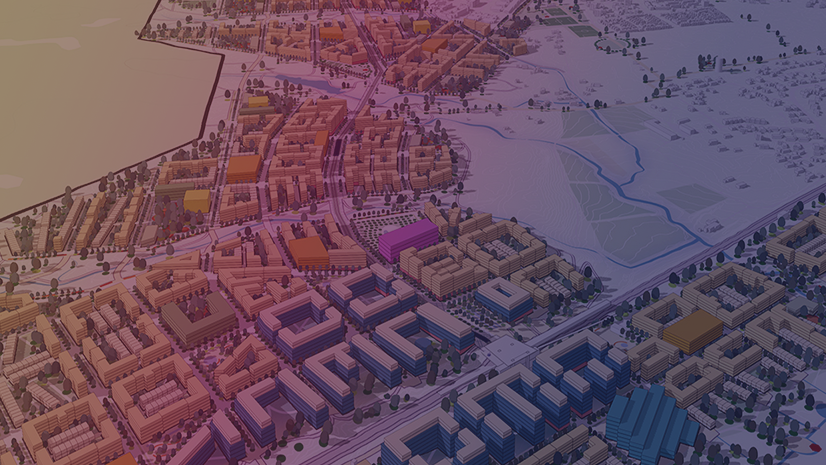
Create an authoritative, digital twin of your community by connecting disparate systems through location.

Stakeholders source reliable data to develop ideas and to intelligently assess and accomplish goals.

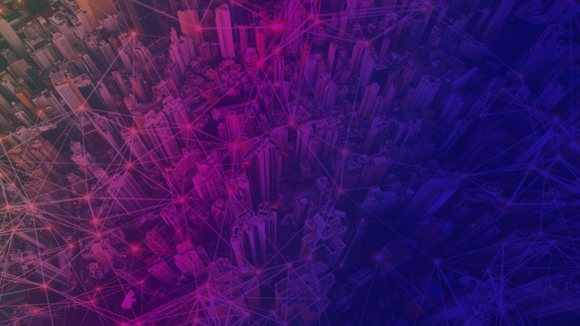
People connect to information via web apps and data portals to work together and drive solutions.

Impartial and forthright data helps governments gain the trust necessary to build consensus in their priorities.

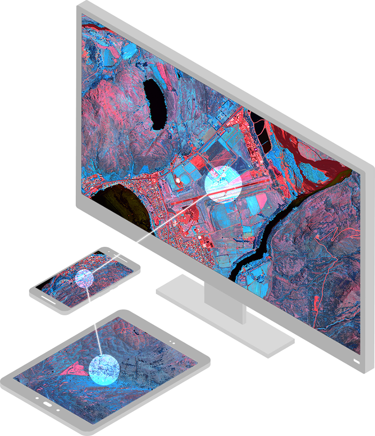
Monitor live events as they occur to afford managers the insight to react swiftly and intelligently.

Please fill out your details below for us to contact you for the demo.
Write to us at info@esri.in
Talk to us over the phone