October 08, 2021
Managing Water Utility Assets
Learn how GIS system helps you be more efficient, customer focused and aligned in delivering a superior customer service while getting the best out of your network.
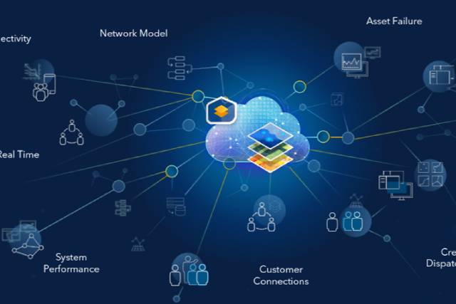
Geographic Information System (GIS) helps water utilities in maintaining and viewing asset information, designing and planning for capital improvement projects, optimizing field operations, understanding the status of operations, and connecting with customers. The webinar series showcased GIS applications relevant to your organization's missions, workflows, and operations. Stay on top of trends, technology advancements, and industry best practices related to use of GIS in Water utilities.
Learn how GIS system helps you be more efficient, customer focused and aligned in delivering a superior customer service while getting the best out of your network.
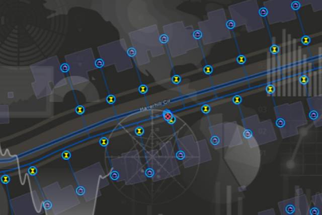
Discover how you can configure an enterprise GIS system to interconnect information, systems, models, and behaviours with spatial context, creating holistic digital representations of environments, assets, networks, and cities.
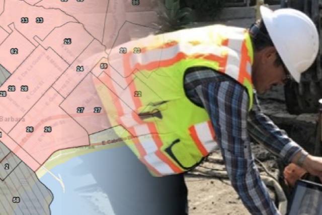
Learn how you can leverage Esri ArcGIS solution to save your field works time and increase the number of inspections or assets they can collect, and how the integrated nature of this solution will reduce your overall operational expenditures.
Please fill out your details below for us to contact you for the demo.
Write to us at info@esri.in
Talk to us over the phone