Water Utilities

Utilities face many challenges like Non-revenue water, insufficient details of the network location in the cities, ageing network, high cost of maintenance incomplete billing, less efficiency in bill collection, water losses, water quality etc. Water utilities need a geospatial platform that is pervasively available across their organization to support business needs.

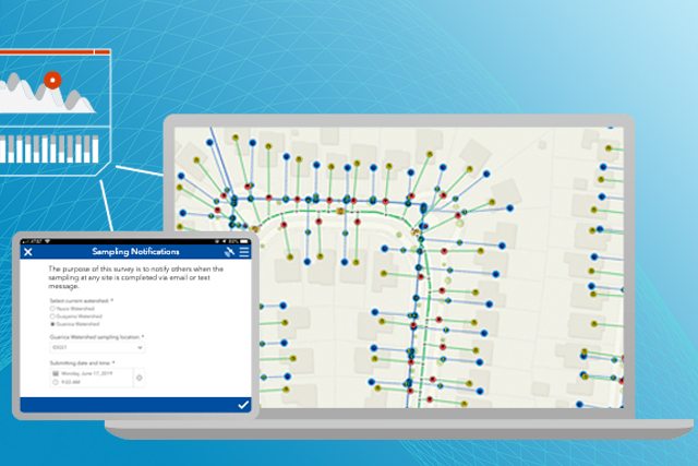
ArcGIS empowers utilities to do this with a modern data model with out-of-the-box analytic tools, and easy to use maps and apps. ArcGIS is a complete geographical information system. Enable your utility with a modern spatial platform that creates real business value across the utility enterprise.

Enabling the Intelligent Water System

ArcGIS is a complete geographic information system. Systems of record, engagement, and insight provide a mature information system that creates real business value across the utility enterprise.

Previous
Next

Business solutions


You face many challenges, and Esri is here to help you modernize your water utility with solutions configured to meet the needs of your key business units and their workflows.

Previous
Next

Request a demo


Please fill out your details below for us to contact you for the demo.

Get in touch with us

Email Us

Write to us at info@esri.in

Start Email

Call Us

Talk to us over the phone

1800-102-1918